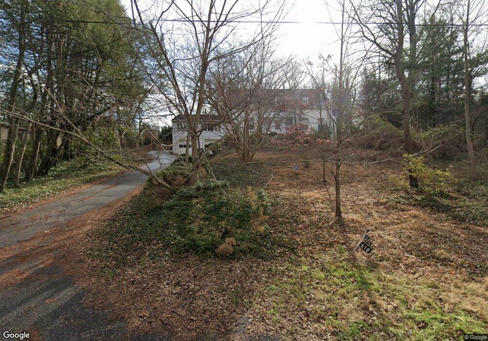
618 Bennington Dr Silver Spring, MD 20910
Silver Spring Park NeighborhoodEstimated Value: $1,247,000 - $1,862,000
Studio
4
Baths
3,323
Sq Ft
$429/Sq Ft
Est. Value
About This Home
This home is located at 618 Bennington Dr, Silver Spring, MD 20910 and is currently estimated at $1,426,069, approximately $429 per square foot. 618 Bennington Dr is a home located in Montgomery County with nearby schools including Sligo Creek Elementary School, Silver Spring International Middle School, and Northwood High School.
Ownership History
Date
Name
Owned For
Owner Type
Purchase Details
Closed on
Jun 30, 2005
Sold by
Bonnett Frederick and Bonnett J
Bought by
Shaw William and Shaw Anne Vorce
Current Estimated Value
Home Financials for this Owner
Home Financials are based on the most recent Mortgage that was taken out on this home.
Original Mortgage
$650,000
Outstanding Balance
$316,259
Interest Rate
4.62%
Mortgage Type
Adjustable Rate Mortgage/ARM
Estimated Equity
$1,109,810
Purchase Details
Closed on
Jun 16, 2005
Sold by
Bonnett Frederick and Bonnett J
Bought by
Shaw William and Shaw Anne Vorce
Home Financials for this Owner
Home Financials are based on the most recent Mortgage that was taken out on this home.
Original Mortgage
$650,000
Outstanding Balance
$316,259
Interest Rate
4.62%
Mortgage Type
Adjustable Rate Mortgage/ARM
Estimated Equity
$1,109,810
Create a Home Valuation Report for This Property
The Home Valuation Report is an in-depth analysis detailing your home's value as well as a comparison with similar homes in the area
Home Values in the Area
Average Home Value in this Area
Purchase History
| Date | Buyer | Sale Price | Title Company |
|---|---|---|---|
| Shaw William | $1,300,000 | -- | |
| Shaw William | $1,300,000 | -- |
Source: Public Records
Mortgage History
| Date | Status | Borrower | Loan Amount |
|---|---|---|---|
| Open | Shaw William | $650,000 | |
| Closed | Shaw William | $650,000 |
Source: Public Records
Tax History
| Year | Tax Paid | Tax Assessment Tax Assessment Total Assessment is a certain percentage of the fair market value that is determined by local assessors to be the total taxable value of land and additions on the property. | Land | Improvement |
|---|---|---|---|---|
| 2025 | $11,186 | $981,033 | -- | -- |
| 2024 | $11,186 | $896,300 | $381,700 | $514,600 |
| 2023 | $10,338 | $885,333 | $0 | $0 |
| 2022 | $9,730 | $874,367 | $0 | $0 |
| 2021 | $4,509 | $863,400 | $381,700 | $481,700 |
| 2020 | $4,509 | $820,267 | $0 | $0 |
| 2019 | $8,502 | $777,133 | $0 | $0 |
| 2018 | $8,010 | $734,000 | $381,700 | $352,300 |
| 2017 | $7,959 | $717,300 | $0 | $0 |
| 2016 | -- | $700,600 | $0 | $0 |
| 2015 | $7,427 | $683,900 | $0 | $0 |
| 2014 | $7,427 | $683,900 | $0 | $0 |
Source: Public Records
Map
Nearby Homes
- 311 Ellsworth Dr
- 9127 Sligo Creek Pkwy
- 512 Pershing Dr
- 9210 Worth Ave
- 9214 Three Oaks Dr
- 9201 Three Oaks Dr
- 9217 Three Oaks Dr
- 9329 Harvey Rd
- 9039 Sligo Creek Pkwy Unit 809
- 1102 Dale Dr
- 110 Melbourne Ave
- 9322 Caroline Ave
- 8613 Cedar St
- 506 Bonifant St
- 700 Roeder Rd Unit 103
- 417 Mansfield Rd
- 9624 Brunett Ave
- 1305 Woodside Pkwy
- 9704 Lorain Ave
- 8601 Manchester Rd Unit 220
- 614 Bennington Dr
- 620 Bennington Dr
- 612 Bennington Dr
- 409 Pershing Dr
- 415 Pershing Dr
- 622 Bennington Dr
- 407 Pershing Dr
- 610 Bennington Dr
- 406 Ellsworth Dr
- 417 Pershing Dr
- 606 Bennington Dr
- 405 Pershing Dr
- 626 Bennington Dr
- 402 Ellsworth Dr
- 408 Ellsworth Dr
- 410 Pershing Dr
- 412 Pershing Dr
- 604 Bennington Dr
- 635 Bennington Ln
- 408 Pershing Dr
Your Personal Tour Guide
Ask me questions while you tour the home.