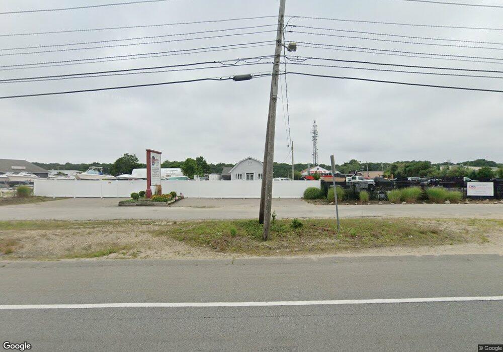
618 Macarthur Blvd Pocasset, MA 02559
Pocasset NeighborhoodEstimated Value: $1,016,166
--
Bed
--
Bath
2,440
Sq Ft
$416/Sq Ft
Est. Value
About This Home
This home is located at 618 Macarthur Blvd, Pocasset, MA 02559 and is currently estimated at $1,016,166, approximately $416 per square foot. 618 Macarthur Blvd is a home located in Barnstable County with nearby schools including Bourne High School.
Ownership History
Date
Name
Owned For
Owner Type
Purchase Details
Closed on
Jan 5, 2023
Sold by
Commerce Road Llc
Bought by
Wenzel Holdings Llc
Current Estimated Value
Purchase Details
Closed on
Sep 20, 2022
Sold by
Pj Medeiros Family Lp
Bought by
Conmmerce Road Llc
Home Financials for this Owner
Home Financials are based on the most recent Mortgage that was taken out on this home.
Original Mortgage
$8,560,000
Interest Rate
5.22%
Mortgage Type
Purchase Money Mortgage
Create a Home Valuation Report for This Property
The Home Valuation Report is an in-depth analysis detailing your home's value as well as a comparison with similar homes in the area
Home Values in the Area
Average Home Value in this Area
Purchase History
| Date | Buyer | Sale Price | Title Company |
|---|---|---|---|
| Wenzel Holdings Llc | $850,000 | None Available | |
| Conmmerce Road Llc | $6,126,131 | None Available |
Source: Public Records
Mortgage History
| Date | Status | Borrower | Loan Amount |
|---|---|---|---|
| Previous Owner | Conmmerce Road Llc | $8,560,000 |
Source: Public Records
Tax History Compared to Growth
Tax History
| Year | Tax Paid | Tax Assessment Tax Assessment Total Assessment is a certain percentage of the fair market value that is determined by local assessors to be the total taxable value of land and additions on the property. | Land | Improvement |
|---|---|---|---|---|
| 2025 | $5,886 | $753,700 | $507,200 | $246,500 |
| 2024 | $5,842 | $728,400 | $483,000 | $245,400 |
| 2023 | $6,219 | $705,900 | $464,500 | $241,400 |
| 2022 | $6,565 | $650,600 | $436,700 | $213,900 |
| 2021 | $6,795 | $630,900 | $424,000 | $206,900 |
| 2020 | $6,653 | $619,500 | $415,700 | $203,800 |
| 2019 | $6,355 | $604,700 | $407,500 | $197,200 |
| 2018 | $6,115 | $580,200 | $391,800 | $188,400 |
| 2017 | $5,930 | $575,700 | $387,900 | $187,800 |
| 2016 | $5,870 | $577,800 | $387,900 | $189,900 |
| 2015 | $5,818 | $577,800 | $387,900 | $189,900 |
Source: Public Records
Map
Nearby Homes
- 618 Mac Arthur Blvd
- 614 Macarthur Blvd
- 626 Macarthur Blvd
- 610 Macarthur Blvd
- 26 Commerce Park Rd
- 24 Commerce Park Rd
- 606 Macarthur Blvd
- 28 Commerce Park Rd
- 22 Commerce Park Rd
- 20 Commerce Park Rd
- 20 Commerce Park Rd
- 54 Portside Dr
- 630 Macarthur Blvd
- 18 Commerce Park Rd
- 21 Commerce Park Rd Unit C
- 590 Macarthur Blvd
- 590C Macarthur Blvd
- 55 Portside Dr
- 50 Portside Dr Unit C
- 50 Portside Dr Unit A