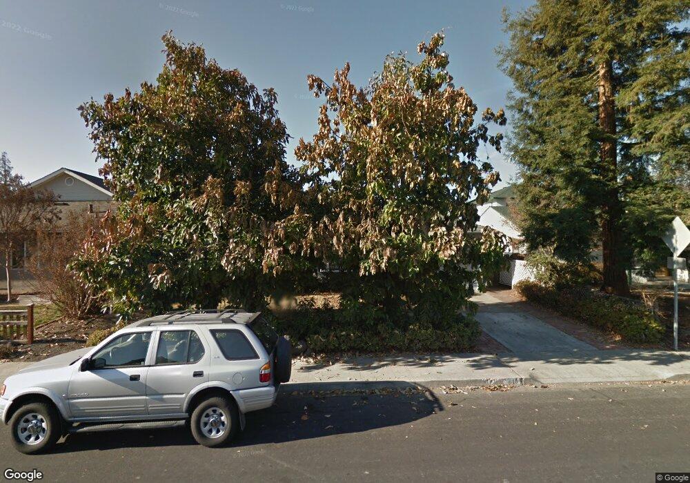
618 Robin Dr Santa Clara, CA 95050
Pruneridge NeighborhoodEstimated Value: $1,688,000 - $1,940,000
3
Beds
2
Baths
854
Sq Ft
$2,123/Sq Ft
Est. Value
About This Home
This home is located at 618 Robin Dr, Santa Clara, CA 95050 and is currently estimated at $1,813,040, approximately $2,122 per square foot. 618 Robin Dr is a home located in Santa Clara County with nearby schools including Westwood Elementary School, Buchser Middle School, and Santa Clara High School.
Ownership History
Date
Name
Owned For
Owner Type
Purchase Details
Closed on
Apr 1, 1997
Sold by
Burpee Janet W and Burpee George S
Bought by
Parampalli Niranjana and Parampalli Narmada
Current Estimated Value
Home Financials for this Owner
Home Financials are based on the most recent Mortgage that was taken out on this home.
Original Mortgage
$256,000
Outstanding Balance
$29,476
Interest Rate
6.62%
Estimated Equity
$1,783,564
Create a Home Valuation Report for This Property
The Home Valuation Report is an in-depth analysis detailing your home's value as well as a comparison with similar homes in the area
Home Values in the Area
Average Home Value in this Area
Purchase History
| Date | Buyer | Sale Price | Title Company |
|---|---|---|---|
| Parampalli Niranjana | $320,000 | Commonwealth Land Title Co |
Source: Public Records
Mortgage History
| Date | Status | Borrower | Loan Amount |
|---|---|---|---|
| Open | Parampalli Niranjana | $256,000 |
Source: Public Records
Tax History
| Year | Tax Paid | Tax Assessment Tax Assessment Total Assessment is a certain percentage of the fair market value that is determined by local assessors to be the total taxable value of land and additions on the property. | Land | Improvement |
|---|---|---|---|---|
| 2025 | $5,998 | $521,155 | $333,869 | $187,286 |
| 2024 | $5,998 | $510,937 | $327,323 | $183,614 |
| 2023 | $5,935 | $500,919 | $320,905 | $180,014 |
| 2022 | $5,837 | $491,098 | $314,613 | $176,485 |
| 2021 | $5,812 | $481,470 | $308,445 | $173,025 |
| 2020 | $5,705 | $476,534 | $305,283 | $171,251 |
| 2019 | $5,697 | $467,192 | $299,298 | $167,894 |
| 2018 | $5,333 | $458,032 | $293,430 | $164,602 |
| 2017 | $5,304 | $449,052 | $287,677 | $161,375 |
| 2016 | $5,223 | $440,248 | $282,037 | $158,211 |
| 2015 | $5,201 | $433,636 | $277,801 | $155,835 |
| 2014 | $4,935 | $425,143 | $272,360 | $152,783 |
Source: Public Records
Map
Nearby Homes
- 2152 Forbes Ave
- 526 Saratoga Ave
- 443 Juanita Dr
- 2403 Golf Links Cir
- 2545 Austin Place
- 2321 Rosita Ave
- 2464 Rebecca Lynn Way
- 2530 Forbes Ave
- 920 Blossom Dr
- 1926 Bohannon Dr
- 376 Cypress Ave
- 2525 Armstrong Place
- 946 Los Padres Blvd
- 1802 Henning Place
- 2421 Karen Dr
- 638 Enos Ct
- 2475 Karen Dr
- 1031 Las Palmas Dr
- 1177 Janice Dr
- 2644 Maplewood Ln
Your Personal Tour Guide
Ask me questions while you tour the home.