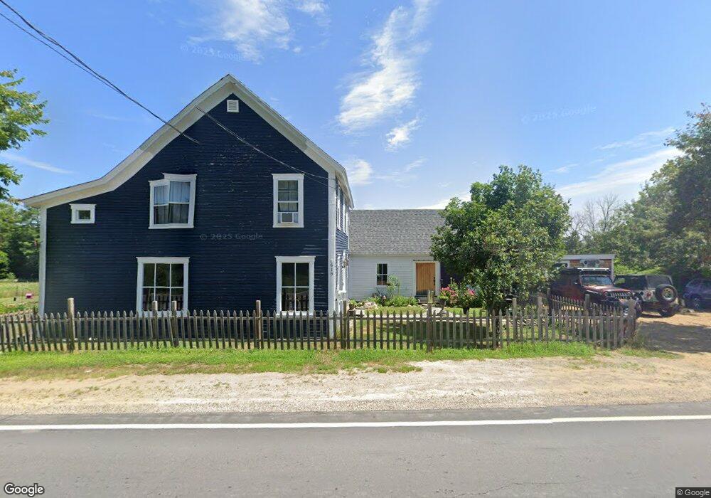
618 S Barnstead Rd Center Barnstead, NH 03225
Estimated Value: $421,279 - $529,000
2
Beds
2
Baths
1,584
Sq Ft
$287/Sq Ft
Est. Value
About This Home
This home is located at 618 S Barnstead Rd, Center Barnstead, NH 03225 and is currently estimated at $454,320, approximately $286 per square foot. 618 S Barnstead Rd is a home located in Belknap County with nearby schools including Barnstead Elementary School and Prospect Mountain High School.
Ownership History
Date
Name
Owned For
Owner Type
Purchase Details
Closed on
Jul 30, 2021
Sold by
Pistey Jonathan B and Massaro Kimberly I
Bought by
Dunning Julie A and Bowley Roger E
Current Estimated Value
Home Financials for this Owner
Home Financials are based on the most recent Mortgage that was taken out on this home.
Original Mortgage
$275,500
Outstanding Balance
$248,463
Interest Rate
2.93%
Mortgage Type
Purchase Money Mortgage
Estimated Equity
$205,857
Purchase Details
Closed on
Apr 1, 2015
Sold by
Young Michael A and Crosby Stephen H
Bought by
Pistey Jonathan B and Massaro Kimberly I
Home Financials for this Owner
Home Financials are based on the most recent Mortgage that was taken out on this home.
Original Mortgage
$168,367
Interest Rate
3.75%
Create a Home Valuation Report for This Property
The Home Valuation Report is an in-depth analysis detailing your home's value as well as a comparison with similar homes in the area
Home Values in the Area
Average Home Value in this Area
Purchase History
| Date | Buyer | Sale Price | Title Company |
|---|---|---|---|
| Dunning Julie A | $290,000 | None Available | |
| Pistey Jonathan B | $165,000 | -- |
Source: Public Records
Mortgage History
| Date | Status | Borrower | Loan Amount |
|---|---|---|---|
| Open | Dunning Julie A | $275,500 | |
| Previous Owner | Pistey Jonathan B | $168,367 |
Source: Public Records
Tax History
| Year | Tax Paid | Tax Assessment Tax Assessment Total Assessment is a certain percentage of the fair market value that is determined by local assessors to be the total taxable value of land and additions on the property. | Land | Improvement |
|---|---|---|---|---|
| 2025 | $5,894 | $343,700 | $70,100 | $273,600 |
| 2024 | $5,606 | $343,700 | $70,100 | $273,600 |
| 2023 | $4,932 | $343,700 | $70,100 | $273,600 |
| 2022 | $4,398 | $203,600 | $40,800 | $162,800 |
| 2021 | $4,471 | $203,600 | $40,800 | $162,800 |
| 2020 | $4,703 | $203,600 | $40,800 | $162,800 |
| 2019 | $4,648 | $203,600 | $40,800 | $162,800 |
| 2018 | $4,530 | $203,600 | $40,800 | $162,800 |
| 2017 | $4,335 | $150,000 | $34,600 | $115,400 |
| 2016 | $4,088 | $150,000 | $34,600 | $115,400 |
| 2015 | $4,073 | $150,000 | $34,600 | $115,400 |
| 2014 | $3,398 | $141,800 | $34,600 | $107,200 |
| 2013 | $3,332 | $141,800 | $34,600 | $107,200 |
Source: Public Records
Map
Nearby Homes
- 56 Beaver Pond Dr
- 4 Sandy Point Rd
- L68-1 Vail Rd
- L68-2 Vail Rd
- 38 Chapelle Rd
- Lot 72 Holmes Rd
- 25 Vail Rd
- M2-l29-9 Province Rd
- R11 07 Clough Rd
- L33 Province Rd
- 22 Pinepark Dr
- 11b Bow Mills Rd
- 33 W Meadow Rd
- Map R29 Lot 1 Catamount Rd
- 58 Winwood Dr
- 956 N Barnstead Rd
- Lot 33 Ridge Rd
- 18 Catamount Rd
- 37446 N Shore Washington Dr
- 15 Davis Dr
- 618 S Barnstead Rd
- 624 S Barnstead Rd
- 12 Sam Clark Rd
- 3 John Tasker Rd
- 630 S Barnstead Rd
- 4 John Tasker Rd
- 16 John Tasker Rd
- 19 Sam Clark Rd
- 645 S Barnstead Rd
- 649 S Barnstead Rd
- 581 S Barnstead Rd
- 24 John Tasker Rd
- 666 S Barnstead Rd
- 0 S Barnstead Rd Unit 4244194
- 669 S Barnstead Rd
- 210 Sam Clark Rd
- 536 S Barnstead Rd
- 43 John Tasker Rd
- 671 S Barnstead Rd
- 54 John Tasker Rd
Your Personal Tour Guide
Ask me questions while you tour the home.