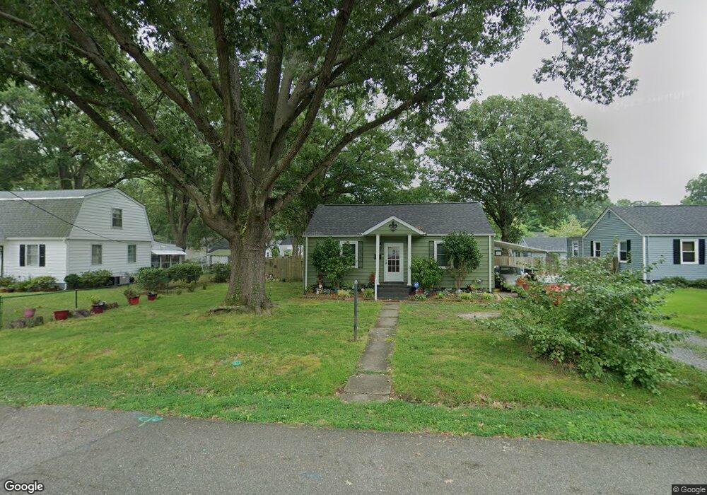
618 Sterling St Newport News, VA 23605
Estimated Value: $192,000 - $200,000
2
Beds
1
Bath
900
Sq Ft
$219/Sq Ft
Est. Value
About This Home
This home is located at 618 Sterling St, Newport News, VA 23605 and is currently estimated at $197,324, approximately $219 per square foot. 618 Sterling St is a home located in Newport News City with nearby schools including Carver Elementary School, Crittenden Middle School, and Heritage High School.
Ownership History
Date
Name
Owned For
Owner Type
Purchase Details
Closed on
Feb 24, 2022
Sold by
Forch Michael M and Forch Daphne
Bought by
Jacobs-Forch Daphne
Current Estimated Value
Purchase Details
Closed on
Jan 2, 2019
Sold by
Poland Vicky L
Bought by
Forch Michael M and Jacobs Forch Daphne
Home Financials for this Owner
Home Financials are based on the most recent Mortgage that was taken out on this home.
Original Mortgage
$93,641
Interest Rate
5.37%
Mortgage Type
FHA
Create a Home Valuation Report for This Property
The Home Valuation Report is an in-depth analysis detailing your home's value as well as a comparison with similar homes in the area
Home Values in the Area
Average Home Value in this Area
Purchase History
| Date | Buyer | Sale Price | Title Company |
|---|---|---|---|
| Jacobs-Forch Daphne | -- | Shaheen Law Firm | |
| Forch Michael M | $96,875 | None Available |
Source: Public Records
Mortgage History
| Date | Status | Borrower | Loan Amount |
|---|---|---|---|
| Previous Owner | Forch Michael M | $93,641 |
Source: Public Records
Tax History Compared to Growth
Tax History
| Year | Tax Paid | Tax Assessment Tax Assessment Total Assessment is a certain percentage of the fair market value that is determined by local assessors to be the total taxable value of land and additions on the property. | Land | Improvement |
|---|---|---|---|---|
| 2025 | $2,016 | $171,000 | $55,400 | $115,600 |
| 2024 | $1,869 | $158,400 | $46,200 | $112,200 |
| 2023 | $1,918 | $150,100 | $46,200 | $103,900 |
| 2022 | $1,789 | $136,800 | $46,200 | $90,600 |
| 2021 | $1,507 | $123,500 | $42,000 | $81,500 |
| 2020 | $1,507 | $111,500 | $42,000 | $69,500 |
| 2019 | $1,459 | $107,900 | $42,000 | $65,900 |
| 2018 | $1,456 | $107,900 | $42,000 | $65,900 |
| 2017 | $1,393 | $102,800 | $40,000 | $62,800 |
| 2016 | $1,389 | $102,800 | $40,000 | $62,800 |
| 2015 | $1,383 | $102,800 | $40,000 | $62,800 |
| 2014 | $1,231 | $102,800 | $40,000 | $62,800 |
Source: Public Records
Map
Nearby Homes
- 633 Brewer St
- 5108 Hazelwood Rd
- 5106 Hazelwood Rd
- 625 Center Ave
- 629 North Ave
- 914 North Ave
- 520 Woodfin Rd
- 1006 Lyndon Cir
- 8520 Orcutt Ave
- 5111 81st St
- 9618 Carver Dr
- 217 Center Ave
- 507 Bellwood Rd
- 212 Tyler Ave
- 37 Roberts Trace
- 648 Bellwood Rd
- 83 Towne Square Dr
- 10189 Warwick Blvd
- 45 Rivermont Dr
- 4 Towne Square Dr
- 616 Sterling St
- 620 Sterling St
- 617 Brooke St
- 622 Sterling St
- 619 Brooke St
- 615 Brooke St
- 619 Sterling St
- 617 Sterling St
- 6127 Amherst Ave
- 621 Brooke St
- 624 Sterling St
- 621 Sterling St
- 6123 Amherst Ave
- 6125 Amherst Ave
- 615 Sterling St
- 623 Brooke St
- 6121 Amherst Ave
- 623 Sterling St
- 626 Sterling St
- 625 Brooke St