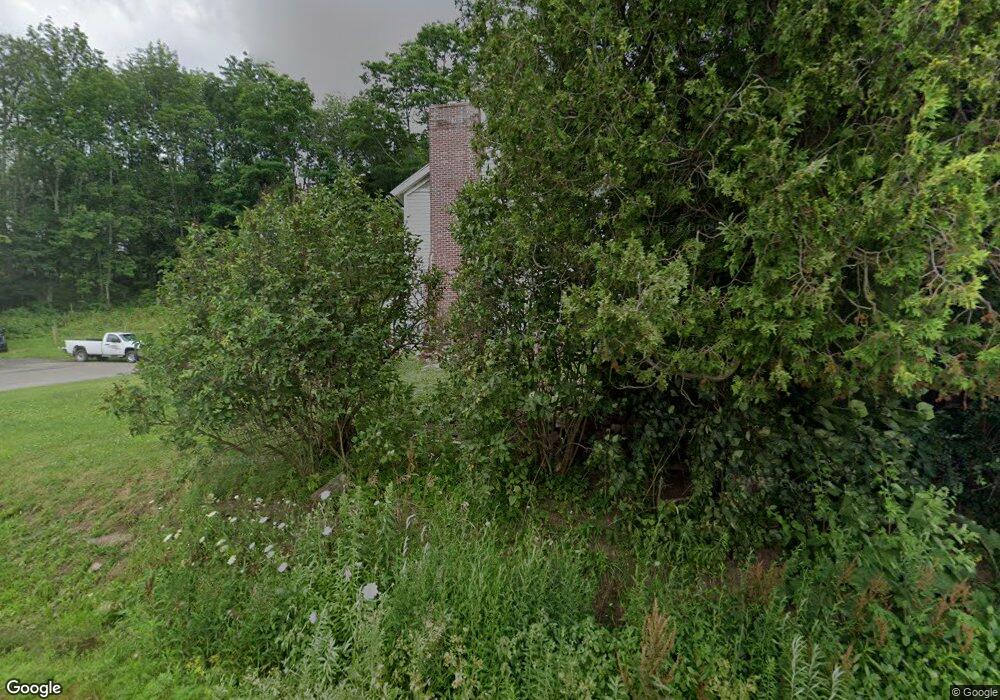
6183 State Highway 51 Burlington Flats, NY 13315
Estimated Value: $158,842 - $169,000
4
Beds
1
Bath
1,680
Sq Ft
$98/Sq Ft
Est. Value
About This Home
This home is located at 6183 State Highway 51, Burlington Flats, NY 13315 and is currently estimated at $164,961, approximately $98 per square foot. 6183 State Highway 51 is a home with nearby schools including Edmeston Central School.
Ownership History
Date
Name
Owned For
Owner Type
Purchase Details
Closed on
Feb 20, 2013
Sold by
Hickling Brie N
Bought by
Hickling Brie
Current Estimated Value
Home Financials for this Owner
Home Financials are based on the most recent Mortgage that was taken out on this home.
Original Mortgage
$99,750
Outstanding Balance
$10,403
Interest Rate
3.43%
Mortgage Type
Purchase Money Mortgage
Estimated Equity
$154,558
Purchase Details
Closed on
Oct 2, 2008
Sold by
Deller Mary
Bought by
Hickling Brie N
Create a Home Valuation Report for This Property
The Home Valuation Report is an in-depth analysis detailing your home's value as well as a comparison with similar homes in the area
Home Values in the Area
Average Home Value in this Area
Purchase History
| Date | Buyer | Sale Price | Title Company |
|---|---|---|---|
| Hickling Brie | -- | -- | |
| Hickling Brie N | $100,000 | Robert Birch |
Source: Public Records
Mortgage History
| Date | Status | Borrower | Loan Amount |
|---|---|---|---|
| Open | Hickling Brie | $99,750 |
Source: Public Records
Tax History Compared to Growth
Tax History
| Year | Tax Paid | Tax Assessment Tax Assessment Total Assessment is a certain percentage of the fair market value that is determined by local assessors to be the total taxable value of land and additions on the property. | Land | Improvement |
|---|---|---|---|---|
| 2024 | $2,415 | $130,000 | $23,400 | $106,600 |
| 2023 | $2,313 | $56,700 | $11,700 | $45,000 |
| 2022 | $2,670 | $56,700 | $11,700 | $45,000 |
| 2021 | $2,712 | $56,700 | $11,700 | $45,000 |
| 2020 | $2,315 | $56,700 | $11,700 | $45,000 |
| 2019 | $2,205 | $56,700 | $11,700 | $45,000 |
| 2018 | $2,205 | $56,700 | $11,700 | $45,000 |
| 2017 | $2,150 | $56,700 | $11,700 | $45,000 |
| 2016 | $2,153 | $56,700 | $11,700 | $45,000 |
| 2015 | -- | $56,700 | $11,700 | $45,000 |
| 2014 | -- | $56,700 | $11,700 | $45,000 |
Source: Public Records
Map
Nearby Homes
- 6058 New York 51
- 6051 State Highway 51
- 205 Arnold Rd
- 6504 State Highway 51
- 369 Louie Dickinson Rd
- 2338 County Road 20
- 2085 Co Rd 19
- 218 County Highway 22
- 2085 Cr19
- 626 Parker Hill Rd
- 0 Armstrong Rd
- 221 County Highway 18c
- 833 Cty 49
- 242 Bert White Rd
- 0 Davenport Rd
- 1463 New York 8
- 2906 County Highway 16
- 29 North St
- 0 Pritchard Rd
- 0 Talbot Rd Unit LotWP001
- 121 Heppe Rd
- 160 Heppe Rd
- 6145 New York 51
- 6144 State Highway 51
- 106 Washburn Rd
- 120 Washburn Rd
- 6243 State Highway 51
- 130 Washburn Rd
- 6106 State Highway 51
- 146 Washburn Rd
- 6271 State Highway 51
- 6077 State Highway 51
- 6076 New York 51
- 232 Norton Rd
- 226 Washburn Rd
- 0 Norton Rd
- 6061 State Highway 51
- 6058 Ny-51
- 6057 State Highway 51
- 6056 State Highway 51
