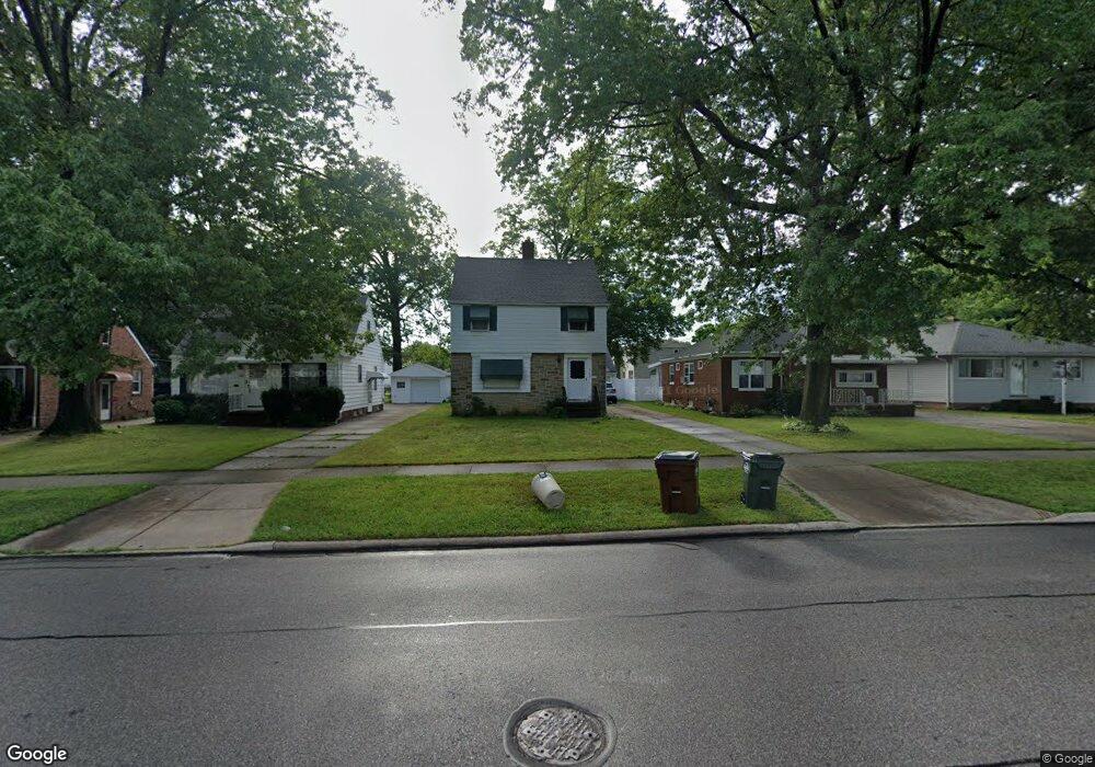
6183 W 54th St Cleveland, OH 44129
Estimated Value: $193,000 - $201,000
3
Beds
1
Bath
1,343
Sq Ft
$146/Sq Ft
Est. Value
About This Home
This home is located at 6183 W 54th St, Cleveland, OH 44129 and is currently estimated at $196,746, approximately $146 per square foot. 6183 W 54th St is a home located in Cuyahoga County with nearby schools including Hillside Middle School, Parma High School, and Bethany Lutheran School.
Ownership History
Date
Name
Owned For
Owner Type
Purchase Details
Closed on
May 18, 1993
Sold by
Condon David M
Bought by
Kent Kathryn M
Current Estimated Value
Purchase Details
Closed on
Apr 13, 1990
Sold by
Condon Marie E
Bought by
Condon David M
Purchase Details
Closed on
Nov 27, 1987
Sold by
Condon Marie E
Bought by
Condon Marie E
Purchase Details
Closed on
Nov 23, 1987
Sold by
Condon Michael L and Condon Marie E
Bought by
Condon Marie E
Purchase Details
Closed on
Nov 30, 1983
Sold by
Condon Michael L
Bought by
Condon Michael L and Condon Marie E
Purchase Details
Closed on
Jan 1, 1975
Bought by
Condon Michael L
Create a Home Valuation Report for This Property
The Home Valuation Report is an in-depth analysis detailing your home's value as well as a comparison with similar homes in the area
Home Values in the Area
Average Home Value in this Area
Purchase History
| Date | Buyer | Sale Price | Title Company |
|---|---|---|---|
| Kent Kathryn M | $88,000 | -- | |
| Condon David M | $65,000 | -- | |
| Condon Marie E | -- | -- | |
| Condon Marie E | -- | -- | |
| Condon Michael L | -- | -- | |
| Condon Michael L | -- | -- |
Source: Public Records
Tax History Compared to Growth
Tax History
| Year | Tax Paid | Tax Assessment Tax Assessment Total Assessment is a certain percentage of the fair market value that is determined by local assessors to be the total taxable value of land and additions on the property. | Land | Improvement |
|---|---|---|---|---|
| 2024 | $2,881 | $55,720 | $9,765 | $45,955 |
| 2023 | $2,607 | $44,950 | $9,210 | $35,740 |
| 2022 | $2,607 | $44,940 | $9,210 | $35,740 |
| 2021 | $2,679 | $44,940 | $9,210 | $35,740 |
| 2020 | $2,846 | $34,550 | $7,070 | $27,480 |
| 2019 | $2,727 | $98,700 | $20,200 | $78,500 |
| 2018 | $2,606 | $34,550 | $7,070 | $27,480 |
| 2017 | $2,632 | $30,910 | $5,570 | $25,340 |
| 2016 | $2,661 | $30,910 | $5,570 | $25,340 |
| 2015 | $2,637 | $30,910 | $5,570 | $25,340 |
| 2014 | $2,637 | $33,220 | $5,990 | $27,230 |
Source: Public Records
Map
Nearby Homes
- 6189 W 54th St
- 5415 Pelham Dr
- 5610 Warwick Dr
- 4802 Grantwood Dr
- 4702 Longwood Ave
- 5603 Allanwood Dr
- 4710 Maplecrest Ave
- 6406 Sunderland Dr
- 4607 Redfern Rd
- 4302 Woodrow Ave
- 6610 Renwood Dr
- 6510 Belmere Dr
- 6143 Wareham Dr
- 6708 Thornton Dr
- 6111 Manchester Rd
- 4002 Maplecrest Ave
- 6468 State Rd Unit L11
- 6474 State Rd Unit I-10
- 3707 Wellington Ave
- 4718 Sheraton Dr
- 6175 W 54th St
- 6195 W 54th St
- 6169 W 54th St
- 5310 Woodrow Ave
- 5215 Grantwood Dr
- 6163 W 54th St
- 5304 Woodrow Ave
- 6201 W 54th St
- 5209 Grantwood Dr
- 6184 W 54th St
- 6168 W 54th St
- 5203 Grantwood Dr
- 5220 Woodrow Ave
- 5402 Ackley Rd
- 5309 Woodrow Ave
- 6164 W 54th St
- 6209 W 54th St
- 6149 W 54th St
- 6158 W 54th St
- 5406 Ackley Rd