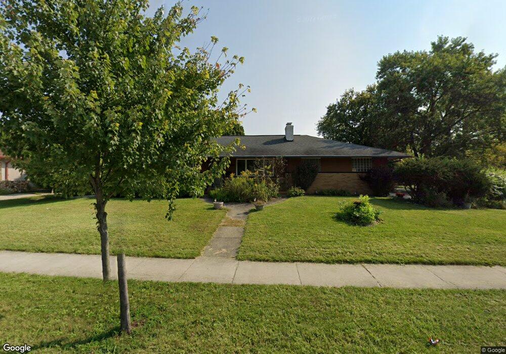
6184 Karl Rd Columbus, OH 43229
Northgate NeighborhoodEstimated Value: $258,000 - $294,000
3
Beds
2
Baths
1,380
Sq Ft
$198/Sq Ft
Est. Value
About This Home
This home is located at 6184 Karl Rd, Columbus, OH 43229 and is currently estimated at $272,875, approximately $197 per square foot. 6184 Karl Rd is a home located in Franklin County with nearby schools including Alpine Elementary School, Northgate Intermediate, and Woodward Park Middle School.
Ownership History
Date
Name
Owned For
Owner Type
Purchase Details
Closed on
Nov 13, 2000
Sold by
Bolteau Patricia N
Bought by
Boiteau Claudette A
Current Estimated Value
Purchase Details
Closed on
Mar 13, 1998
Sold by
Federal National Mortgage Association
Bought by
Boiteau Claudette A and Boiteau Patricia N
Purchase Details
Closed on
Aug 16, 1995
Sold by
Thomas J Laurence
Bought by
Linda L Chocola
Home Financials for this Owner
Home Financials are based on the most recent Mortgage that was taken out on this home.
Original Mortgage
$76,500
Interest Rate
7.64%
Mortgage Type
New Conventional
Create a Home Valuation Report for This Property
The Home Valuation Report is an in-depth analysis detailing your home's value as well as a comparison with similar homes in the area
Home Values in the Area
Average Home Value in this Area
Purchase History
We collect this data history from publicly available records. To have your information removed, we recommend requesting removal directly through your county’s website.
| Date | Buyer | Sale Price | Title Company |
|---|---|---|---|
| Boiteau Claudette A | -- | -- | |
| Boiteau Claudette A | -- | -- | |
| Linda L Chocola | $102,000 | -- |
Source: Public Records
Mortgage History
We collect this data history from publicly available records. To have your information removed, we recommend requesting removal directly through your county’s website.
| Date | Status | Borrower | Loan Amount |
|---|---|---|---|
| Previous Owner | Linda L Chocola | $76,500 |
Source: Public Records
Tax History
| Year | Tax Paid | Tax Assessment Tax Assessment Total Assessment is a certain percentage of the fair market value that is determined by local assessors to be the total taxable value of land and additions on the property. | Land | Improvement |
|---|---|---|---|---|
| 2025 | $3,835 | $85,440 | $17,890 | $67,550 |
| 2024 | $3,835 | $85,440 | $17,890 | $67,550 |
| 2023 | $3,786 | $85,435 | $17,885 | $67,550 |
| 2022 | $3,099 | $59,750 | $18,550 | $41,200 |
| 2021 | $3,104 | $59,750 | $18,550 | $41,200 |
| 2020 | $3,108 | $59,750 | $18,550 | $41,200 |
| 2019 | $2,862 | $47,180 | $14,840 | $32,340 |
| 2018 | $1,428 | $47,180 | $14,840 | $32,340 |
| 2017 | $2,860 | $47,180 | $14,840 | $32,340 |
| 2016 | $2,449 | $36,970 | $9,560 | $27,410 |
| 2015 | $1,112 | $36,970 | $9,560 | $27,410 |
| 2014 | $2,229 | $36,970 | $9,560 | $27,410 |
| 2013 | $1,221 | $41,055 | $10,605 | $30,450 |
Source: Public Records
Map
Nearby Homes
- 6097 Karl Rd
- 1444 Archmere Square S
- 6028 Darby Ln
- 6013 Darby Ln
- 6401 Faircrest Rd
- 1716 Staffordshire Rd
- 1288 Oakfield Dr N
- 1484 Cardwell Square N
- 6397 Ambleside Dr
- 6389 Ambleside Dr
- 1354 Cardwell Square N
- 5970 Sharon Woods 100 Bl Blvd Unit 100
- 6401 Peardale Rd E
- 6189 Northgap Dr
- 6245 Sharon Woods Blvd
- 1877 Knollridge Ct
- 1815 Red Fern Dr
- 6588 Skywae Dr
- 5885 Beechcroft Rd Unit 306
- 5885 Beechcroft Rd Unit 302
Your Personal Tour Guide
Ask me questions while you tour the home.