6185 Dry Ridge Rd Unit 4 Cincinnati, OH 45252
Estimated Value: $617,000 - $738,000
3
Beds
4
Baths
2,651
Sq Ft
$260/Sq Ft
Est. Value
About This Home
This home is located at 6185 Dry Ridge Rd Unit 4, Cincinnati, OH 45252 and is currently estimated at $689,970, approximately $260 per square foot. 6185 Dry Ridge Rd Unit 4 is a home located in Hamilton County with nearby schools including Colerain Elementary School, Colerain Middle School, and Colerain High School.
Ownership History
Date
Name
Owned For
Owner Type
Purchase Details
Closed on
Jun 24, 2010
Sold by
Meade John W and Meade Carole A
Bought by
Oliverio David and Oliverio Beth
Current Estimated Value
Home Financials for this Owner
Home Financials are based on the most recent Mortgage that was taken out on this home.
Original Mortgage
$294,320
Interest Rate
4.77%
Mortgage Type
Unknown
Purchase Details
Closed on
Aug 27, 1997
Sold by
Grote Robert F and Grote Ann M
Bought by
Meade John W and Meade Carole A
Create a Home Valuation Report for This Property
The Home Valuation Report is an in-depth analysis detailing your home's value as well as a comparison with similar homes in the area
Home Values in the Area
Average Home Value in this Area
Purchase History
| Date | Buyer | Sale Price | Title Company |
|---|---|---|---|
| Oliverio David | $367,900 | Attorney | |
| Meade John W | $68,000 | -- |
Source: Public Records
Mortgage History
| Date | Status | Borrower | Loan Amount |
|---|---|---|---|
| Closed | Oliverio David | $294,320 |
Source: Public Records
Tax History Compared to Growth
Tax History
| Year | Tax Paid | Tax Assessment Tax Assessment Total Assessment is a certain percentage of the fair market value that is determined by local assessors to be the total taxable value of land and additions on the property. | Land | Improvement |
|---|---|---|---|---|
| 2024 | $10,543 | $196,014 | $29,071 | $166,943 |
| 2023 | $10,575 | $196,014 | $29,071 | $166,943 |
| 2022 | $10,081 | $152,464 | $34,304 | $118,160 |
| 2021 | $10,027 | $136,802 | $34,304 | $102,498 |
| 2020 | $9,039 | $136,802 | $34,304 | $102,498 |
| 2019 | $8,215 | $115,934 | $29,071 | $86,863 |
| 2018 | $7,370 | $115,934 | $29,071 | $86,863 |
| 2017 | $6,993 | $115,934 | $29,071 | $86,863 |
| 2016 | $7,481 | $122,325 | $28,777 | $93,548 |
| 2015 | $7,542 | $122,325 | $28,777 | $93,548 |
| 2014 | $7,935 | $122,325 | $28,777 | $93,548 |
| 2013 | $7,948 | $128,766 | $30,293 | $98,473 |
Source: Public Records
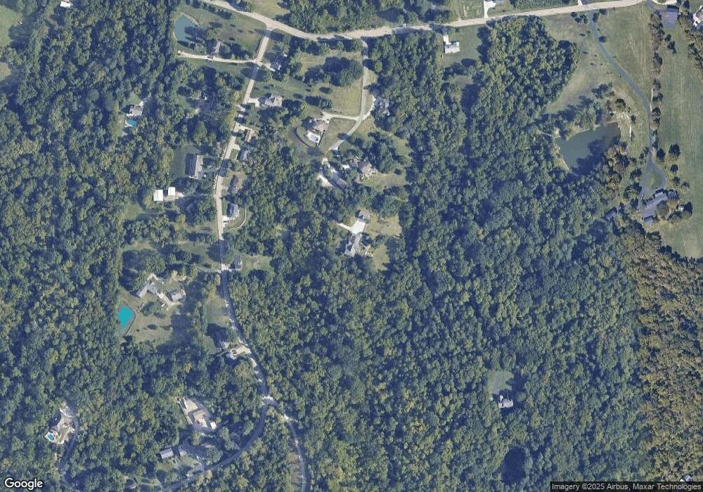
Map
Nearby Homes
- 10391 E Miami River Rd
- 10232 Roppelt Rd
- 10034 Brehm Rd
- 10046 Brehm Rd
- 9897 Skyridge Dr
- 5576 Sheits Rd
- 6983 Long St
- 6984 Thompson Rd
- 6811 Chapel Ln
- 8158 Valley Crossing Dr
- 5778 Blue Rock Hill Rd
- 9908 Pebbleknoll Dr
- 6080 Thompson Rd
- 6875 Chapel Ln
- 6983 Daybreak Dr
- 5077 Pebblevalley Dr
- 8576 Forest Valley Dr
- 6087 Magnolia Woods Way
- 7096 Daybreak Dr
- 5658 Springdale Rd