Estimated Value: $321,294 - $353,000
4
Beds
2
Baths
1,668
Sq Ft
$204/Sq Ft
Est. Value
About This Home
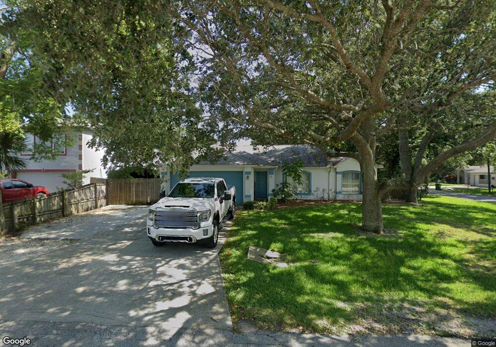
This home is located at 6185 Edison St, Cocoa, FL 32927 and is currently estimated at $340,074, approximately $203 per square foot. 6185 Edison St is a home located in Brevard County with nearby schools including Enterprise Elementary School, Space Coast Junior/Senior High School, and East Atlantic Prep of Brevard County.
Ownership History
Date
Name
Owned For
Owner Type
Purchase Details
Closed on
Nov 18, 2025
Sold by
Wurtz John S and Wurtz Karen P
Bought by
Jones Brianna L and Jones Zaccary P
Current Estimated Value
Home Financials for this Owner
Home Financials are based on the most recent Mortgage that was taken out on this home.
Original Mortgage
$346,606
Outstanding Balance
$345,589
Interest Rate
6.12%
Mortgage Type
FHA
Estimated Equity
-$5,515
Purchase Details
Closed on
Dec 4, 2023
Sold by
Wurtz John S and Wurtz Karen P
Bought by
Wurtz John S and Wurtz Karen P
Purchase Details
Closed on
Dec 13, 2006
Sold by
Jones James B and Jones Rhonda L
Bought by
Wurtz John S and Wurtz Karen P
Home Financials for this Owner
Home Financials are based on the most recent Mortgage that was taken out on this home.
Original Mortgage
$140,000
Interest Rate
6.29%
Purchase Details
Closed on
Dec 18, 1998
Sold by
Maronda Homes Inc Fl
Bought by
Jones James B and Jones Rhonda L
Home Financials for this Owner
Home Financials are based on the most recent Mortgage that was taken out on this home.
Original Mortgage
$83,231
Interest Rate
6.94%
Purchase Details
Closed on
Jul 17, 1998
Sold by
Fisher Jerry L and Fisher Mildred L
Bought by
Maronda Homes Inc Fl
Create a Home Valuation Report for This Property
The Home Valuation Report is an in-depth analysis detailing your home's value as well as a comparison with similar homes in the area
Home Values in the Area
Average Home Value in this Area
Purchase History
| Date | Buyer | Sale Price | Title Company |
|---|---|---|---|
| Jones Brianna L | $353,000 | Mangrove Title | |
| Wurtz John S | $100 | None Listed On Document | |
| Wurtz John S | $100 | None Listed On Document | |
| Wurtz John S | $183,000 | Attorney | |
| Jones James B | $83,400 | -- | |
| Maronda Homes Inc Fl | $8,500 | -- |
Source: Public Records
Mortgage History
| Date | Status | Borrower | Loan Amount |
|---|---|---|---|
| Open | Jones Brianna L | $346,606 | |
| Previous Owner | Wurtz John S | $140,000 | |
| Previous Owner | Jones James B | $83,231 |
Source: Public Records
Tax History
| Year | Tax Paid | Tax Assessment Tax Assessment Total Assessment is a certain percentage of the fair market value that is determined by local assessors to be the total taxable value of land and additions on the property. | Land | Improvement |
|---|---|---|---|---|
| 2025 | $1,335 | $270,770 | -- | -- |
| 2024 | $1,298 | $93,770 | -- | -- |
| 2023 | $1,298 | $91,040 | $0 | $0 |
| 2022 | $1,209 | $88,390 | $0 | $0 |
| 2021 | $1,202 | $85,820 | $0 | $0 |
| 2020 | $1,137 | $84,640 | $0 | $0 |
| 2019 | $1,072 | $82,740 | $0 | $0 |
| 2018 | $1,062 | $81,200 | $0 | $0 |
| 2017 | $1,051 | $79,530 | $0 | $0 |
| 2016 | $1,049 | $77,900 | $18,000 | $59,900 |
| 2015 | $1,056 | $77,360 | $15,000 | $62,360 |
| 2014 | $1,056 | $76,750 | $11,000 | $65,750 |
Source: Public Records
Map
Nearby Homes
- 6200 Edison St
- 6150 Baltimore Ave
- 6085 Edison St
- 00000 Golfview Ave
- 6220 Golfview Ave
- 6230 Balsam St
- 0 Golfview Ave
- 6180 Balboa St
- 6215 Balboa St
- 23-35-21-JX-B-2 Aruin St
- 6460 Homestead Ave
- 6510 Aspen Ln
- 6470 Bamboo Ave
- 0 Aruin St Unit 1222557
- 5812 Homestead Ave
- 6177 Brandt St
- 6545 Addie Ave
- 5720 Flint Rd
- 6135 Allmont St
- 6115 Allmont St
Your Personal Tour Guide
Ask me questions while you tour the home.