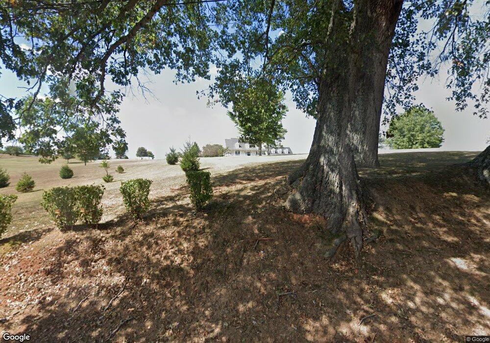
6188 Highway 49 E Springfield, TN 37172
Estimated Value: $518,000 - $834,000
Studio
3
Baths
2,827
Sq Ft
$253/Sq Ft
Est. Value
About This Home
This home is located at 6188 Highway 49 E, Springfield, TN 37172 and is currently estimated at $714,575, approximately $252 per square foot. 6188 Highway 49 E is a home located in Robertson County with nearby schools including Krisle Elementary School, Innovation Academy, and Springfield High School.
Ownership History
Date
Name
Owned For
Owner Type
Purchase Details
Closed on
Sep 8, 2010
Sold by
Dilliha Gary L
Bought by
Balthrop Ricky L
Current Estimated Value
Purchase Details
Closed on
Dec 2, 2002
Bought by
Balthrop Ricky L
Purchase Details
Closed on
Jan 8, 2001
Bought by
Ragan Terry and Ragan Sammy
Purchase Details
Closed on
Dec 13, 1980
Bought by
Gracey Hugh
Purchase Details
Closed on
Jan 1, 1980
Create a Home Valuation Report for This Property
The Home Valuation Report is an in-depth analysis detailing your home's value as well as a comparison with similar homes in the area
Home Values in the Area
Average Home Value in this Area
Purchase History
| Date | Buyer | Sale Price | Title Company |
|---|---|---|---|
| Balthrop Ricky L | -- | -- | |
| Balthrop Ricky L | $220,000 | -- | |
| Ragan Terry | $315,000 | -- | |
| Gracey Hugh | -- | -- | |
| -- | $12,400 | -- |
Source: Public Records
Tax History Compared to Growth
Tax History
| Year | Tax Paid | Tax Assessment Tax Assessment Total Assessment is a certain percentage of the fair market value that is determined by local assessors to be the total taxable value of land and additions on the property. | Land | Improvement |
|---|---|---|---|---|
| 2025 | $3,525 | $195,850 | $0 | $0 |
| 2024 | $3,525 | $195,850 | $72,375 | $123,475 |
| 2023 | $3,525 | $195,850 | $72,375 | $123,475 |
| 2022 | $3,009 | $116,825 | $27,550 | $89,275 |
| 2021 | $3,009 | $116,825 | $27,550 | $89,275 |
| 2020 | $3,009 | $116,825 | $27,550 | $89,275 |
| 2019 | $3,009 | $116,825 | $27,550 | $89,275 |
| 2018 | $2,846 | $110,475 | $27,550 | $82,925 |
| 2017 | $2,409 | $78,100 | $16,950 | $61,150 |
| 2016 | $2,409 | $78,100 | $16,950 | $61,150 |
| 2015 | $2,312 | $78,100 | $16,950 | $61,150 |
| 2014 | $2,312 | $78,100 | $16,950 | $61,150 |
Source: Public Records
Map
Nearby Homes
- 1 Tom Austin Hwy
- 0 William Woodard Rd
- 0 New Chapel Rd Unit RTC3072173
- 793 Spring Cir
- 514 Lakeside Dr
- 906 Spruce St
- 703 Hayes St
- 965 Hunters Ln
- 962 Hunters Ln
- 958 Hunters Ln
- 966 Hunters Ln
- 938 Hunters Ln
- 954 Hunters Ln
- 942 Hunters Ln
- 950 Hunters Ln
- 946 Hunters Ln
- 54 Hunters Ln
- 401 S Pawnee Dr
- 1183 Hangar Dr
- 805 8th Ave E
- 6188 Highway 49 E
- 6188 Highway 49 E
- 6168 Highway 49 E
- 6163 Highway 49 E
- 6142 Highway 49 E
- 6175 Highway 49 E
- 6229 Highway 49 E
- 6241 Highway 49 E
- 6264 Highway 49 E
- 6265 Highway 49 E
- 6114 Highway 49 E
- 6315 Highway 49 E
- 6074 Highway 49 E
- 6074 Highway 49 E
- 6308 Highway 49 E
- 6070 Highway 49 E
- 0 Hunters Lane Lot 23 Unit RTC2096024
- 4087 Wilks Rd
- 6324 Highway 49 E
- 4081 Wilks Rd
