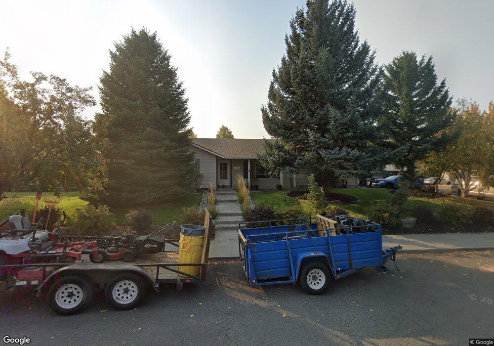
61884 Avonlea Cir Bend, OR 97702
Larkspur NeighborhoodEstimated Value: $466,300 - $566,000
3
Beds
2
Baths
1,192
Sq Ft
$433/Sq Ft
Est. Value
About This Home
This home is located at 61884 Avonlea Cir, Bend, OR 97702 and is currently estimated at $516,075, approximately $432 per square foot. 61884 Avonlea Cir is a home located in Deschutes County with nearby schools including Bear Creek Elementary School, Pilot Butte Middle School, and Bend Senior High School.
Ownership History
Date
Name
Owned For
Owner Type
Purchase Details
Closed on
Nov 1, 2005
Sold by
Lindner Michael M and Lindner Janice M
Bought by
Hochstein Brendan and Hochstein Jennifer
Current Estimated Value
Home Financials for this Owner
Home Financials are based on the most recent Mortgage that was taken out on this home.
Original Mortgage
$152,000
Outstanding Balance
$80,757
Interest Rate
5.74%
Mortgage Type
Fannie Mae Freddie Mac
Estimated Equity
$435,318
Create a Home Valuation Report for This Property
The Home Valuation Report is an in-depth analysis detailing your home's value as well as a comparison with similar homes in the area
Home Values in the Area
Average Home Value in this Area
Purchase History
| Date | Buyer | Sale Price | Title Company |
|---|---|---|---|
| Hochstein Brendan | $190,000 | First Amer Title Ins Co Or |
Source: Public Records
Mortgage History
| Date | Status | Borrower | Loan Amount |
|---|---|---|---|
| Open | Hochstein Brendan | $152,000 |
Source: Public Records
Tax History
| Year | Tax Paid | Tax Assessment Tax Assessment Total Assessment is a certain percentage of the fair market value that is determined by local assessors to be the total taxable value of land and additions on the property. | Land | Improvement |
|---|---|---|---|---|
| 2025 | $3,159 | $186,950 | -- | -- |
| 2024 | $3,039 | $181,510 | -- | -- |
| 2023 | $2,817 | $176,230 | $0 | $0 |
| 2022 | $2,629 | $166,120 | $0 | $0 |
| 2021 | $2,633 | $161,290 | $0 | $0 |
| 2020 | $2,498 | $161,290 | $0 | $0 |
| 2019 | $2,428 | $156,600 | $0 | $0 |
| 2018 | $2,360 | $152,040 | $0 | $0 |
| 2017 | $2,291 | $147,620 | $0 | $0 |
| 2016 | $2,184 | $143,330 | $0 | $0 |
| 2015 | $2,124 | $139,160 | $0 | $0 |
| 2014 | $2,061 | $135,110 | $0 | $0 |
Source: Public Records
Map
Nearby Homes
- 21191 SE Kayla Ct
- 61839 SE 27th St
- 61813 Azalia Place
- 301 SE Springer Ct
- 61725 SE Daly Estates Rd
- 21177 Ritz Place
- 21024 SE Azalia Ave
- 21182 Desert Skies Place
- 61683 Daly Estates Dr
- 62062 Dean Swift Rd
- 21503 Oconnor Way
- 21489 Oconnor Way Unit 17
- 21505 Oconnor Way
- 21517 Oconnor Way
- 21493 Oconnor Way
- 21491 Oconnor Way
- 21519 Oconnor Way
- 21495 Oconnor Way
- 61635 Daly Estates Dr Unit 17
- 61632 Pettigrew Rd Unit 18
- 61866 Avonlea Cir
- 61810 Avonlea Cir
- 61862 Avonlea Cir
- 61895 Avonlea Cir
- 61883 Avonlea Cir
- 61899 Avonlea Cir
- 61816 Avonlea Cir
- 61887 Avonlea Cir
- 61879 Avonlea Cir
- 61891 Avonlea Cir
- 61858 Avonlea Cir
- 21181 Silverado Valley Ln
- 61863 Avonlea Cir
- 61867 Avonlea Cir
- 61875 Avonlea Cir
- 61815 Avonlea Cir
- 61871 Avonlea Cir
- 61859 Avonlea Cir
- 21190 Anne Ln
- 61820 Avonlea Cir
Your Personal Tour Guide
Ask me questions while you tour the home.