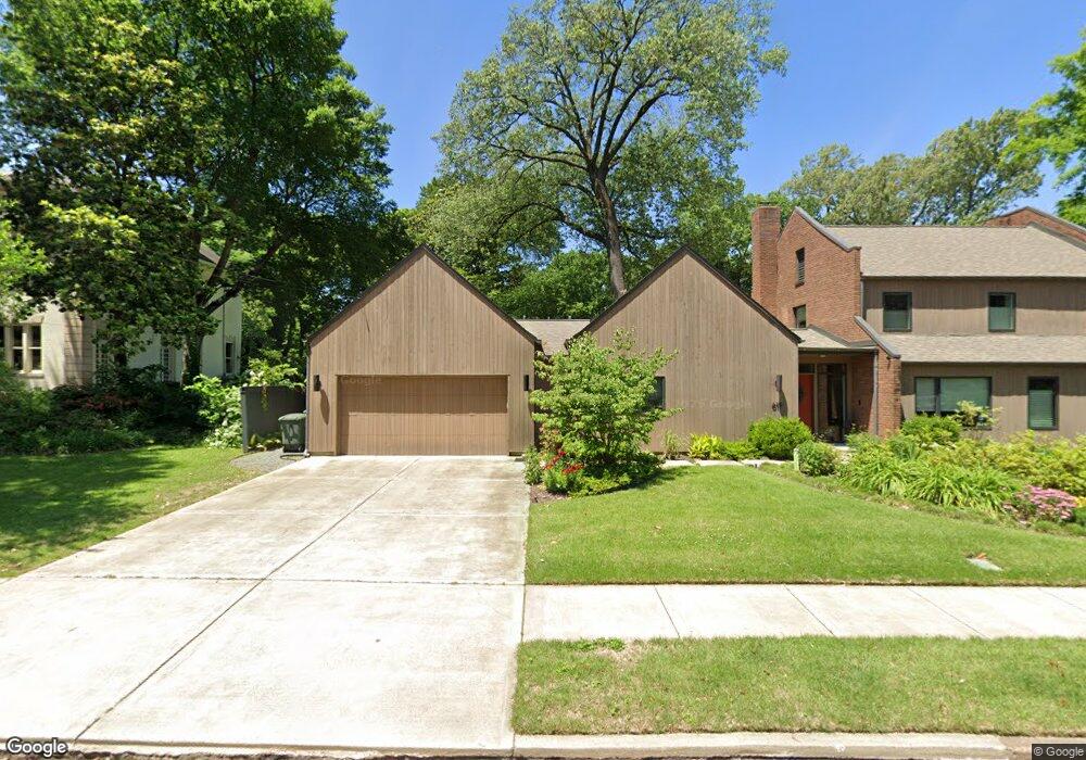
619 Anderson St Memphis, TN 38104
Central Gardens NeighborhoodEstimated Value: $440,000 - $631,000
3
Beds
3
Baths
2,652
Sq Ft
$191/Sq Ft
Est. Value
About This Home
This home is located at 619 Anderson St, Memphis, TN 38104 and is currently estimated at $505,721, approximately $190 per square foot. 619 Anderson St is a home located in Shelby County with nearby schools including Idlewild Elementary School, Central High School, and Compass Community School Midtown Campus.
Ownership History
Date
Name
Owned For
Owner Type
Purchase Details
Closed on
Nov 1, 2018
Sold by
Maddox Rodney A and Maddox Nancy P
Bought by
Mims James Allen and Mims Lydia
Current Estimated Value
Home Financials for this Owner
Home Financials are based on the most recent Mortgage that was taken out on this home.
Original Mortgage
$400,000
Outstanding Balance
$351,001
Interest Rate
4.7%
Mortgage Type
Commercial
Estimated Equity
$154,721
Purchase Details
Closed on
Jul 19, 2016
Sold by
Williams Robert E
Bought by
Maddox Rodney A and Maddox Nancy P
Create a Home Valuation Report for This Property
The Home Valuation Report is an in-depth analysis detailing your home's value as well as a comparison with similar homes in the area
Home Values in the Area
Average Home Value in this Area
Purchase History
| Date | Buyer | Sale Price | Title Company |
|---|---|---|---|
| Mims James Allen | $400,000 | None Available | |
| Maddox Rodney A | $130,000 | None Available |
Source: Public Records
Mortgage History
| Date | Status | Borrower | Loan Amount |
|---|---|---|---|
| Open | Mims James Allen | $400,000 |
Source: Public Records
Tax History Compared to Growth
Tax History
| Year | Tax Paid | Tax Assessment Tax Assessment Total Assessment is a certain percentage of the fair market value that is determined by local assessors to be the total taxable value of land and additions on the property. | Land | Improvement |
|---|---|---|---|---|
| 2025 | $3,446 | $111,125 | $24,425 | $86,700 |
| 2024 | $3,446 | $101,650 | $18,975 | $82,675 |
| 2023 | $6,192 | $101,650 | $18,975 | $82,675 |
| 2022 | $4,657 | $76,450 | $18,975 | $57,475 |
| 2021 | $4,712 | $76,450 | $18,975 | $57,475 |
| 2020 | $4,529 | $62,500 | $18,975 | $43,525 |
| 2019 | $1,998 | $62,500 | $18,975 | $43,525 |
| 2018 | $1,997 | $62,500 | $18,975 | $43,525 |
| 2017 | $2,045 | $62,500 | $18,975 | $43,525 |
| 2016 | $2,624 | $60,050 | $0 | $0 |
| 2014 | $2,624 | $60,050 | $0 | $0 |
Source: Public Records
Map
Nearby Homes
- 1757 Vinton Ave
- 1793 Vinton Ave
- 1763 Glenwood Place
- 1785 Glenwood Place
- 700 St Augustine
- 680 S Mclean Blvd
- 668 S Mclean Blvd Unit 668
- 697 S Belvedere Blvd Unit B
- 674 St Augustine Dr Unit D
- 1876 Cowden Ave
- 1631 Harbert Ave
- 1794 York Ave
- 1630 E Clanlo Dr
- 1630 Carr Ave
- 1606 Goodbar Ave
- 506 Peabody Square Unit 506
- 258 S Mclean Blvd
- 1743 York Ave
- 1808 Linden Ave
- 1625 Peabody Ave
- 1759 Harbert Ave
- 1749 Harbert Ave
- 643 Anderson St
- 1743 Harbert Ave
- 640 Anderson St
- 1785 Harbert Ave
- 1760 Harbert Ave
- 1766 Harbert Ave
- 1746 Harbert Ave
- 1756 Glenwood Place
- 1750 Glenwood Place
- 1776 Harbert Ave
- 654 Anderson St
- 1744 Glenwood Place
- 1740 Harbert Ave
- 1778 Glenwood Place
- 1786 Harbert Ave
- 1730 Glenwood Place
- 1786 Glenwood Place
- 1761 Vinton Ave