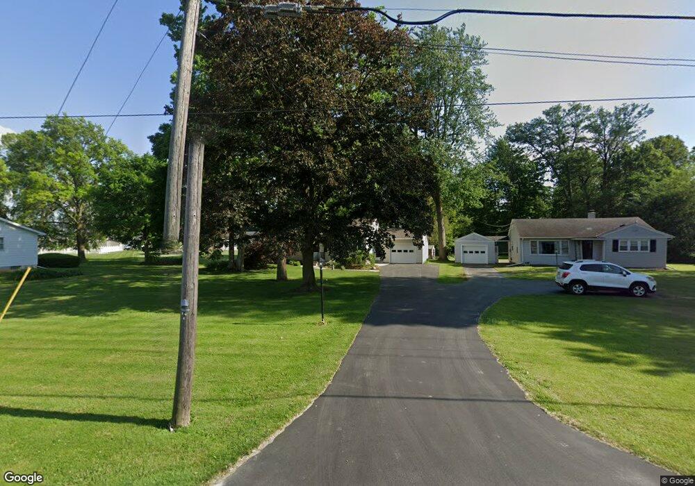
619 E Cole Rd Fremont, OH 43420
Estimated Value: $190,789 - $214,000
2
Beds
1
Bath
1,092
Sq Ft
$185/Sq Ft
Est. Value
About This Home
This home is located at 619 E Cole Rd, Fremont, OH 43420 and is currently estimated at $202,447, approximately $185 per square foot. 619 E Cole Rd is a home located in Sandusky County with nearby schools including Fremont Ross High School, Sacred Heart School, and Bishop Hoffman Catholic School - This is St Joe's School now.
Ownership History
Date
Name
Owned For
Owner Type
Purchase Details
Closed on
Jul 8, 1996
Sold by
Frater Michael R
Bought by
Mosser Mark A and Mosser Debra L
Current Estimated Value
Home Financials for this Owner
Home Financials are based on the most recent Mortgage that was taken out on this home.
Original Mortgage
$73,600
Interest Rate
8%
Mortgage Type
New Conventional
Purchase Details
Closed on
Mar 29, 1996
Sold by
Est Victor J Karle
Bought by
Frater Michael R and Frater Martha A
Purchase Details
Closed on
Oct 1, 1991
Bought by
Mosser Mark A and Mosser Debra L
Create a Home Valuation Report for This Property
The Home Valuation Report is an in-depth analysis detailing your home's value as well as a comparison with similar homes in the area
Home Values in the Area
Average Home Value in this Area
Purchase History
| Date | Buyer | Sale Price | Title Company |
|---|---|---|---|
| Mosser Mark A | $92,000 | -- | |
| Frater Michael R | $65,000 | -- | |
| Mosser Mark A | -- | -- |
Source: Public Records
Mortgage History
| Date | Status | Borrower | Loan Amount |
|---|---|---|---|
| Closed | Mosser Mark A | $73,600 |
Source: Public Records
Tax History Compared to Growth
Tax History
| Year | Tax Paid | Tax Assessment Tax Assessment Total Assessment is a certain percentage of the fair market value that is determined by local assessors to be the total taxable value of land and additions on the property. | Land | Improvement |
|---|---|---|---|---|
| 2024 | $2,186 | $56,250 | $11,060 | $45,190 |
| 2023 | $2,186 | $46,870 | $9,210 | $37,660 |
| 2022 | $1,945 | $46,870 | $9,210 | $37,660 |
| 2021 | $2,004 | $46,870 | $9,210 | $37,660 |
| 2020 | $1,786 | $40,960 | $9,210 | $31,750 |
| 2019 | $1,785 | $40,960 | $9,210 | $31,750 |
| 2018 | $1,737 | $40,960 | $9,210 | $31,750 |
| 2017 | $1,471 | $34,520 | $9,210 | $25,310 |
| 2016 | $1,290 | $34,520 | $9,210 | $25,310 |
| 2015 | $1,269 | $34,520 | $9,210 | $25,310 |
| 2014 | $1,260 | $32,830 | $7,070 | $25,760 |
| 2013 | $1,233 | $32,830 | $7,070 | $25,760 |
Source: Public Records
Map
Nearby Homes
- 1832 Myrtle St
- 933 E Cole Rd
- 18 Katlyn Dr
- 1970 Morrison Rd
- 1818 Finley Dr
- 350 Conner Dr
- 135 Briarwood Cir
- 41 Brookview Dr
- 64 River Run Dr Unit J
- 10 Meadowbrook Ln
- 10 Meadowbrook Dr
- 1420 Center St
- 1013 Whittlesey St
- 905 Twinn St
- 625 Bush Place
- 600 S Buchanan St
- 0 S Buchanan St
- 815 South St
- 1028 June St
- 1485 Autumn Woods Dr