619 E Dominic St La Crosse, IN 46348
Estimated Value: $138,296 - $189,000
3
Beds
1
Bath
1,580
Sq Ft
$106/Sq Ft
Est. Value
About This Home
This home is located at 619 E Dominic St, La Crosse, IN 46348 and is currently estimated at $167,324, approximately $105 per square foot. 619 E Dominic St is a home located in LaPorte County.
Ownership History
Date
Name
Owned For
Owner Type
Purchase Details
Closed on
Oct 17, 2018
Sold by
Rudd Marvin Daniel
Bought by
Rudd Marvin Daniel and Rudd Estelle R
Current Estimated Value
Purchase Details
Closed on
Jul 13, 2018
Sold by
Patterson Rudd Estelle R and Patterson Estelle R
Bought by
Rudd Marvin Daniel
Home Financials for this Owner
Home Financials are based on the most recent Mortgage that was taken out on this home.
Original Mortgage
$56,000
Outstanding Balance
$41,501
Interest Rate
4.6%
Mortgage Type
New Conventional
Estimated Equity
$125,823
Purchase Details
Closed on
May 5, 2014
Sold by
Patterson Marrs Dale
Bought by
Patterson Estelle R
Create a Home Valuation Report for This Property
The Home Valuation Report is an in-depth analysis detailing your home's value as well as a comparison with similar homes in the area
Home Values in the Area
Average Home Value in this Area
Purchase History
| Date | Buyer | Sale Price | Title Company |
|---|---|---|---|
| Rudd Marvin Daniel | -- | None Available | |
| Rudd Marvin Daniel | -- | Chicago Title Insurance Co | |
| Patterson Estelle R | -- | None Available |
Source: Public Records
Mortgage History
| Date | Status | Borrower | Loan Amount |
|---|---|---|---|
| Open | Rudd Marvin Daniel | $56,000 |
Source: Public Records
Tax History Compared to Growth
Tax History
| Year | Tax Paid | Tax Assessment Tax Assessment Total Assessment is a certain percentage of the fair market value that is determined by local assessors to be the total taxable value of land and additions on the property. | Land | Improvement |
|---|---|---|---|---|
| 2024 | $689 | $62,700 | $19,500 | $43,200 |
| 2022 | $508 | $67,100 | $19,500 | $47,600 |
| 2021 | $508 | $62,900 | $19,500 | $43,400 |
| 2020 | $468 | $62,900 | $19,500 | $43,400 |
| 2019 | $442 | $53,200 | $13,900 | $39,300 |
| 2018 | $423 | $53,200 | $13,900 | $39,300 |
| 2017 | $389 | $50,100 | $12,300 | $37,800 |
| 2016 | $382 | $51,500 | $12,300 | $39,200 |
| 2014 | $273 | $43,400 | $6,700 | $36,700 |
Source: Public Records
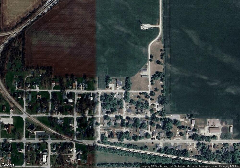
Map
Nearby Homes
- 601 E Main St
- 201 E Oneida St
- 9052 W Saint Road 8
- 202 Genesse St
- 308 Mill St
- 802 W Main St
- 6948 W 1700 S
- 7555 S U S 421
- 627 E 300 S
- 0 W Hwy 30 Unit GNR545374
- 0-B1-3 State Road 8
- 0-Lot B6-7 State Road 8
- 0-Lot B4-5 St Road 8
- 411 E Ross Ave
- 407 Mckinley St
- 304 N Church St
- 5995 W 500 S
- 305 Shady Ln
- 304 Shady Ln
- 5895 W 500 S
- 607 E Dominic St
- 118 Pontiac St
- 619 E Oneida St
- 601 E Oneida St
- 518 E Dominic St
- 701 E Oneida St
- 601 E Oneida St
- 711 E Oneida St
- 506 E Dominic St
- 507 E Dominic St
- 707 E Oneida St
- 707 E Oneida St
- 519 E Oneida St
- 18 Pontiac St
- 504 E Dominic St
- 504 E Dominic St
- 702 E Oneida St
- 501 E Dominic St
- 502 E Dominic St
- 19 Livingston St