Estimated Value: $664,000 - $730,000
5
Beds
3
Baths
2,623
Sq Ft
$268/Sq Ft
Est. Value
About This Home
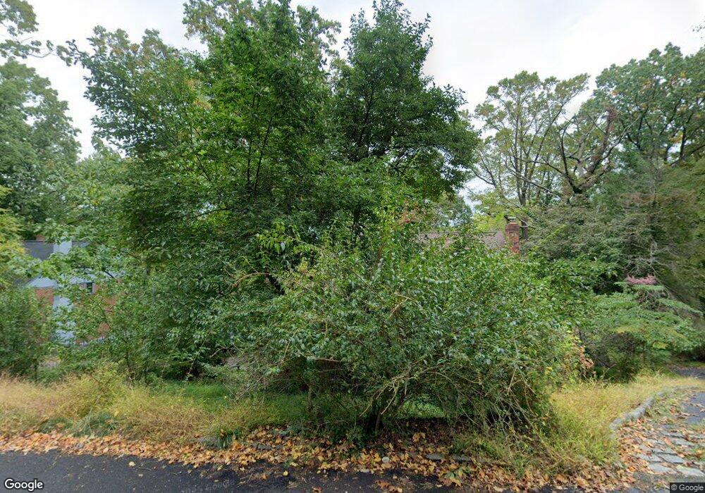
This home is located at 619 Forest Rd, Wayne, PA 19087 and is currently estimated at $701,706, approximately $267 per square foot. 619 Forest Rd is a home located in Montgomery County with nearby schools including Roberts Elementary School, Upper Merion Middle School, and Upper Merion High School.
Ownership History
Date
Name
Owned For
Owner Type
Purchase Details
Closed on
Nov 1, 2004
Sold by
Not Provided
Bought by
Negulescu Sorin D and Negulescu Dimona M
Current Estimated Value
Home Financials for this Owner
Home Financials are based on the most recent Mortgage that was taken out on this home.
Original Mortgage
$0
Interest Rate
5.74%
Purchase Details
Closed on
Oct 20, 2004
Sold by
Not Provided
Bought by
Negulescu Sorin D and Negulescu Dimona M
Home Financials for this Owner
Home Financials are based on the most recent Mortgage that was taken out on this home.
Original Mortgage
$0
Interest Rate
5.74%
Create a Home Valuation Report for This Property
The Home Valuation Report is an in-depth analysis detailing your home's value as well as a comparison with similar homes in the area
Purchase History
| Date | Buyer | Sale Price | Title Company |
|---|---|---|---|
| Negulescu Sorin D | $346,500 | -- | |
| Negulescu Sorin D | $346,500 | -- |
Source: Public Records
Mortgage History
| Date | Status | Borrower | Loan Amount |
|---|---|---|---|
| Closed | Negulescu Sorin D | $0 | |
| Closed | Negulescu Sorin D | $0 |
Source: Public Records
Tax History
| Year | Tax Paid | Tax Assessment Tax Assessment Total Assessment is a certain percentage of the fair market value that is determined by local assessors to be the total taxable value of land and additions on the property. | Land | Improvement |
|---|---|---|---|---|
| 2025 | $5,865 | $190,340 | -- | -- |
| 2024 | $5,865 | $190,340 | -- | -- |
| 2023 | $5,658 | $190,340 | $0 | $0 |
| 2022 | $5,416 | $190,340 | $0 | $0 |
| 2021 | $5,248 | $190,340 | $0 | $0 |
| 2020 | $5,015 | $190,340 | $0 | $0 |
| 2019 | $4,929 | $190,340 | $0 | $0 |
Source: Public Records
Map
Nearby Homes
- 121 River Trail Cir
- 121 River Trail Cir Unit 11
- 459 S Gulph Rd
- 408 Glen Arbor Ct
- 416 Glen Arbor Ct
- 780 Hobbs Rd
- 371 Radar Dr
- 356 King of Prussia Rd
- 240 River Trail Cir Unit 87
- 400 Highview Dr
- 701 School Line Dr
- 731 King of Prussia Rd
- 501 W Dekalb Pike
- 300 Valley Place
- 156 Gypsy Ln
- 173 Gypsy Ln
- 230 Arden Rd
- 1010 Mount Pleasant Ave
- 520 Philadelphia Ave
- 161 Lantern Ln
- 611 Forest Rd
- 627 Forest Rd
- 612 Crestlink Rd
- 635 Forest Rd
- 610 Mallard Terrace
- 626 Forest Rd
- 601 Forest Rd
- 618 Forest Rd
- 634 Forest Rd
- 1426 Forest Rd
- 606 Mallard Terrace
- 610 Forest Rd
- 620 Mallard Rd
- 643 Forest Rd
- 640 Forest Rd
- 614 Mallard Terrace
- 600 Forest Rd
- 650 Forest Rd
- 570 Bob White Rd
- 607 Mallard Terrace
Your Personal Tour Guide
Ask me questions while you tour the home.
