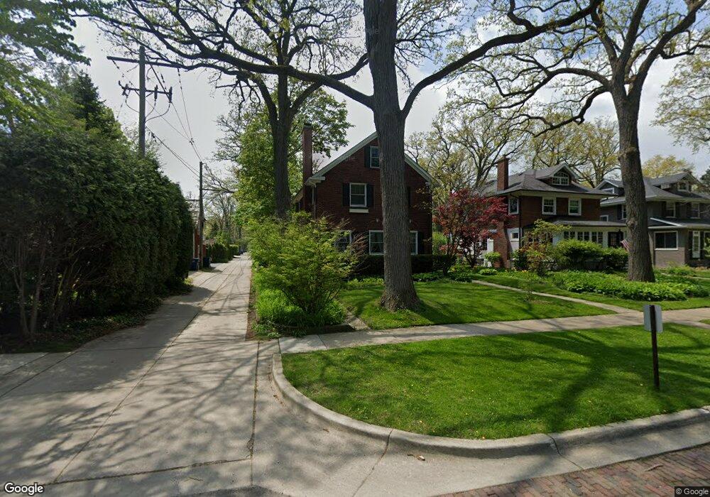
619 Maple Ave Wilmette, IL 60091
Estimated Value: $1,208,000 - $1,526,833
3
Beds
3
Baths
2,693
Sq Ft
$507/Sq Ft
Est. Value
About This Home
This home is located at 619 Maple Ave, Wilmette, IL 60091 and is currently estimated at $1,364,708, approximately $506 per square foot. 619 Maple Ave is a home located in Cook County with nearby schools including Central Elementary School, Highcrest Middle School, and Wilmette Junior High School.
Ownership History
Date
Name
Owned For
Owner Type
Purchase Details
Closed on
Apr 16, 2002
Sold by
Wilson James C and Wilson Holly C
Bought by
Ray David W and Ray Patricia C
Current Estimated Value
Home Financials for this Owner
Home Financials are based on the most recent Mortgage that was taken out on this home.
Original Mortgage
$300,000
Outstanding Balance
$123,814
Interest Rate
7.18%
Estimated Equity
$1,240,894
Purchase Details
Closed on
Dec 18, 1996
Sold by
Owen Linda Allen
Bought by
Wilson James C and Wilson Holly C
Home Financials for this Owner
Home Financials are based on the most recent Mortgage that was taken out on this home.
Original Mortgage
$370,000
Interest Rate
7.37%
Create a Home Valuation Report for This Property
The Home Valuation Report is an in-depth analysis detailing your home's value as well as a comparison with similar homes in the area
Home Values in the Area
Average Home Value in this Area
Purchase History
| Date | Buyer | Sale Price | Title Company |
|---|---|---|---|
| Ray David W | $750,000 | -- | |
| Wilson James C | $487,000 | First American Title Ins Co |
Source: Public Records
Mortgage History
| Date | Status | Borrower | Loan Amount |
|---|---|---|---|
| Open | Ray David W | $300,000 | |
| Previous Owner | Wilson James C | $370,000 | |
| Closed | Ray David W | $55,000 |
Source: Public Records
Tax History
| Year | Tax Paid | Tax Assessment Tax Assessment Total Assessment is a certain percentage of the fair market value that is determined by local assessors to be the total taxable value of land and additions on the property. | Land | Improvement |
|---|---|---|---|---|
| 2025 | $22,689 | $131,660 | $28,925 | $102,735 |
| 2024 | $22,689 | $94,385 | $24,475 | $69,910 |
| 2023 | $22,725 | $103,303 | $24,475 | $78,828 |
| 2022 | $22,725 | $109,227 | $24,475 | $84,752 |
| 2021 | $17,202 | $69,546 | $19,580 | $49,966 |
| 2020 | $16,980 | $69,546 | $19,580 | $49,966 |
| 2019 | $16,462 | $75,594 | $19,580 | $56,014 |
| 2018 | $16,974 | $74,783 | $16,910 | $57,873 |
| 2017 | $16,519 | $74,783 | $16,910 | $57,873 |
| 2016 | $18,955 | $89,702 | $16,910 | $72,792 |
| 2015 | $14,847 | $62,429 | $14,017 | $48,412 |
| 2014 | $14,624 | $62,429 | $14,017 | $48,412 |
| 2013 | $14,967 | $66,781 | $14,017 | $52,764 |
Source: Public Records
Map
Nearby Homes
- 414 Laurel Ave
- 526 Linden Ave
- 420 Linden Ave Unit 502
- 339 Greenleaf Ave Unit D
- 606 5th St Unit 606
- 2647 Poplar Ave
- 2740 Asbury Ave
- 325 Central Ave
- 2108 Harrison St
- 1209 Maple Ave
- 2508 Isabella St
- 611 Elmwood Ave
- 1241 Maple Ave
- 2775 Sheridan Rd
- 922 Forest Ave
- 1915 Grant St
- 1119 Forest Ave
- 1115 Colfax St
- 621 Green Bay Rd
- 2731 Park Place
Your Personal Tour Guide
Ask me questions while you tour the home.