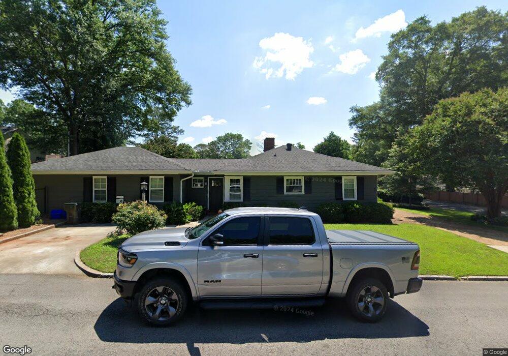
619 Mcfarland Ave Dalton, GA 30720
Estimated Value: $300,603 - $367,000
2
Beds
1
Bath
1,971
Sq Ft
$175/Sq Ft
Est. Value
About This Home
This home is located at 619 Mcfarland Ave, Dalton, GA 30720 and is currently estimated at $345,651, approximately $175 per square foot. 619 Mcfarland Ave is a home located in Whitfield County with nearby schools including City Park Elementary School, Dalton Middle School, and Dalton High School.
Ownership History
Date
Name
Owned For
Owner Type
Purchase Details
Closed on
Dec 30, 2009
Sold by
Hardin Lamar E
Bought by
Mathis Peter S
Current Estimated Value
Home Financials for this Owner
Home Financials are based on the most recent Mortgage that was taken out on this home.
Original Mortgage
$152,192
Outstanding Balance
$98,545
Interest Rate
4.68%
Mortgage Type
FHA
Estimated Equity
$247,106
Purchase Details
Closed on
Jun 28, 2001
Sold by
Hardin William Eugene
Bought by
Hardin Lamar
Purchase Details
Closed on
Jul 1, 1997
Bought by
Hardin William Eugene
Create a Home Valuation Report for This Property
The Home Valuation Report is an in-depth analysis detailing your home's value as well as a comparison with similar homes in the area
Home Values in the Area
Average Home Value in this Area
Purchase History
| Date | Buyer | Sale Price | Title Company |
|---|---|---|---|
| Mathis Peter S | $155,000 | -- | |
| Hardin Lamar | $120,000 | -- | |
| Hardin William Eugene | $90,000 | -- |
Source: Public Records
Mortgage History
| Date | Status | Borrower | Loan Amount |
|---|---|---|---|
| Open | Mathis Peter S | $152,192 |
Source: Public Records
Tax History Compared to Growth
Tax History
| Year | Tax Paid | Tax Assessment Tax Assessment Total Assessment is a certain percentage of the fair market value that is determined by local assessors to be the total taxable value of land and additions on the property. | Land | Improvement |
|---|---|---|---|---|
| 2024 | $3,164 | $108,596 | $24,000 | $84,596 |
| 2023 | $3,164 | $85,545 | $21,600 | $63,945 |
| 2022 | $1,517 | $51,440 | $5,600 | $45,840 |
| 2021 | $1,519 | $51,440 | $5,600 | $45,840 |
| 2020 | $1,403 | $46,856 | $5,600 | $41,256 |
| 2019 | $1,442 | $46,856 | $5,600 | $41,256 |
| 2018 | $1,458 | $46,856 | $5,600 | $41,256 |
| 2017 | $1,398 | $46,856 | $5,600 | $41,256 |
| 2016 | $1,446 | $48,023 | $10,500 | $37,523 |
| 2014 | $1,211 | $43,614 | $10,500 | $33,114 |
| 2013 | -- | $43,614 | $10,500 | $33,114 |
Source: Public Records
Map
Nearby Homes
- 613 Mcfarland Ave
- 616 Miller St
- 618 Mcfarland Ave
- 616 Mcfarland Ave
- 620 Mcfarland Ave
- 612 Miller St
- 622 Mcfarland Ave
- 614 Mcfarland Ave
- 618 Miller St
- 610 Miller St
- 612 Mcfarland Ave
- 615 Miller St
- 613 Miller St
- 608 Miller St
- 609 Mcfarland Ave
- 617 Miller St
- 700 Miller St
- 701 Ridgewood Ln
- 611 Miller St
- 621 Miller St