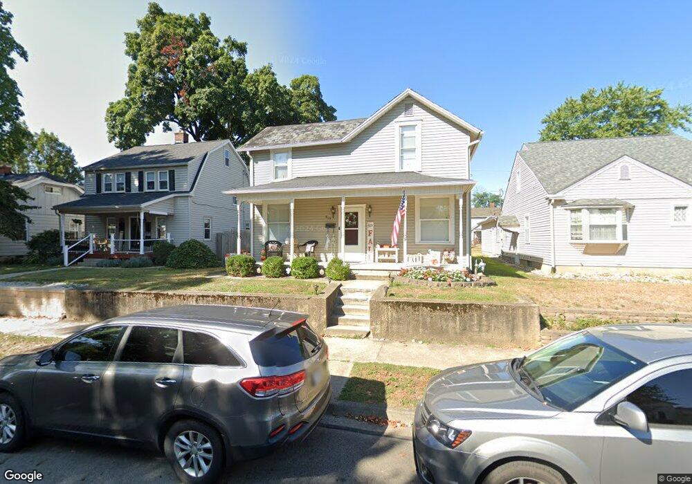
619 Oakwood Ave Lancaster, OH 43130
Estimated Value: $202,432 - $219,000
3
Beds
2
Baths
1,656
Sq Ft
$127/Sq Ft
Est. Value
About This Home
This home is located at 619 Oakwood Ave, Lancaster, OH 43130 and is currently estimated at $210,608, approximately $127 per square foot. 619 Oakwood Ave is a home located in Fairfield County with nearby schools including Thomas Ewing Junior High School, Lancaster High School, and St Mary Elementary School.
Ownership History
Date
Name
Owned For
Owner Type
Purchase Details
Closed on
Aug 27, 2021
Sold by
Runkle Michelle L and Runkle Chad T
Bought by
Travis Daisy Marie and Travis Philip Alan
Current Estimated Value
Home Financials for this Owner
Home Financials are based on the most recent Mortgage that was taken out on this home.
Original Mortgage
$115,000
Outstanding Balance
$104,485
Interest Rate
2.7%
Mortgage Type
New Conventional
Estimated Equity
$106,123
Purchase Details
Closed on
Feb 19, 2002
Sold by
Rauch Louis J
Bought by
Runkle Michelle L and Runkle Chad T
Home Financials for this Owner
Home Financials are based on the most recent Mortgage that was taken out on this home.
Original Mortgage
$79,540
Interest Rate
7.23%
Mortgage Type
New Conventional
Purchase Details
Closed on
Aug 14, 2001
Sold by
Est Clark M Snoke
Bought by
Rauch Louis J and Rauch Janice M
Create a Home Valuation Report for This Property
The Home Valuation Report is an in-depth analysis detailing your home's value as well as a comparison with similar homes in the area
Home Values in the Area
Average Home Value in this Area
Purchase History
| Date | Buyer | Sale Price | Title Company |
|---|---|---|---|
| Travis Daisy Marie | $150,000 | None Available | |
| Runkle Michelle L | $82,000 | -- | |
| Rauch Louis J | $64,000 | -- |
Source: Public Records
Mortgage History
| Date | Status | Borrower | Loan Amount |
|---|---|---|---|
| Open | Travis Daisy Marie | $115,000 | |
| Previous Owner | Runkle Michelle L | $79,540 |
Source: Public Records
Tax History Compared to Growth
Tax History
| Year | Tax Paid | Tax Assessment Tax Assessment Total Assessment is a certain percentage of the fair market value that is determined by local assessors to be the total taxable value of land and additions on the property. | Land | Improvement |
|---|---|---|---|---|
| 2024 | $4,720 | $52,500 | $8,100 | $44,400 |
| 2023 | $1,911 | $52,500 | $8,100 | $44,400 |
| 2022 | $1,919 | $52,500 | $8,100 | $44,400 |
| 2021 | $1,781 | $44,650 | $8,100 | $36,550 |
| 2020 | $1,474 | $38,520 | $8,100 | $30,420 |
| 2019 | $1,403 | $38,520 | $8,100 | $30,420 |
| 2018 | $1,143 | $29,620 | $8,100 | $21,520 |
| 2017 | $1,144 | $29,810 | $10,700 | $19,110 |
| 2016 | $1,095 | $29,290 | $10,700 | $18,590 |
| 2015 | $1,096 | $28,430 | $10,700 | $17,730 |
| 2014 | $1,045 | $28,430 | $10,700 | $17,730 |
| 2013 | $1,045 | $28,430 | $10,700 | $17,730 |
Source: Public Records
Map
Nearby Homes
- 700 E Allen St
- 831 Franklin Ave
- 726 King St
- 716 N Mount Pleasant Ave
- 608 Sheridan Dr
- 1150 E Fair Ave
- 521 E Allen St
- 608 E Mulberry St
- 629 E Wheeling St
- 600 N Maple St
- 619 N Maple St
- 555 E Wheeling St
- 404 E 6th Ave
- 534 E Wheeling St
- 222 N Maple St
- 1112 E Chestnut St
- 1413 E Mulberry St
- 1106 E Walnut St
- 1408 E Wheeling St
- 1275 Wetsell Ave
- 623 Oakwood Ave
- 615 Oakwood Ave
- 627 Oakwood Ave
- 605 Oakwood Ave
- 603 Oakwood Ave
- 629 Oakwood Ave
- 616 N Eastwood Ave
- 614 N Eastwood Ave
- 612 N Eastwood Ave
- 620 N Eastwood Ave
- 635 Oakwood Ave
- 614 Oakwood Ave
- 616 Oakwood Ave
- 612 Oakwood Ave
- 606 N Eastwood Ave
- 622 N Eastwood Ave
- 610 Oakwood Ave
- 618 Oakwood Ave
- 641 Oakwood Ave
- 620 Oakwood Ave
