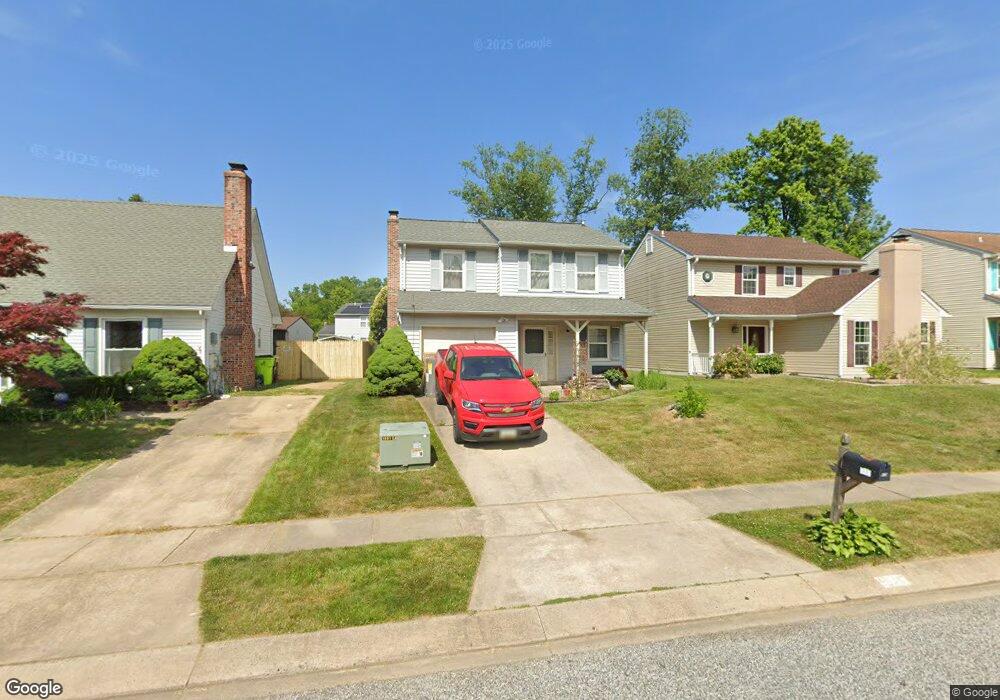
619 Pier Dr Edgewood, MD 21040
Estimated Value: $280,103 - $353,000
--
Bed
2
Baths
1,528
Sq Ft
$212/Sq Ft
Est. Value
About This Home
This home is located at 619 Pier Dr, Edgewood, MD 21040 and is currently estimated at $324,276, approximately $212 per square foot. 619 Pier Dr is a home located in Harford County with nearby schools including Deerfield Elementary School, Edgewood Middle School, and Edgewood High School.
Ownership History
Date
Name
Owned For
Owner Type
Purchase Details
Closed on
Jan 25, 1994
Sold by
Andrews W R
Bought by
Boyce Raymond M
Current Estimated Value
Home Financials for this Owner
Home Financials are based on the most recent Mortgage that was taken out on this home.
Original Mortgage
$103,500
Interest Rate
7.08%
Purchase Details
Closed on
Sep 8, 1986
Sold by
Whiteside Richard W
Bought by
Andrews William R
Home Financials for this Owner
Home Financials are based on the most recent Mortgage that was taken out on this home.
Original Mortgage
$77,694
Interest Rate
9.9%
Create a Home Valuation Report for This Property
The Home Valuation Report is an in-depth analysis detailing your home's value as well as a comparison with similar homes in the area
Home Values in the Area
Average Home Value in this Area
Purchase History
| Date | Buyer | Sale Price | Title Company |
|---|---|---|---|
| Boyce Raymond M | $101,500 | -- | |
| Andrews William R | $77,300 | -- |
Source: Public Records
Mortgage History
| Date | Status | Borrower | Loan Amount |
|---|---|---|---|
| Closed | Boyce Raymond M | $103,500 | |
| Previous Owner | Andrews William R | $77,694 |
Source: Public Records
Tax History Compared to Growth
Tax History
| Year | Tax Paid | Tax Assessment Tax Assessment Total Assessment is a certain percentage of the fair market value that is determined by local assessors to be the total taxable value of land and additions on the property. | Land | Improvement |
|---|---|---|---|---|
| 2025 | $1,786 | $217,800 | $0 | $0 |
| 2024 | $1,786 | $203,700 | $0 | $0 |
| 2023 | $1,696 | $189,600 | $60,100 | $129,500 |
| 2022 | $1,649 | $184,333 | $0 | $0 |
| 2021 | $2,006 | $179,067 | $0 | $0 |
| 2020 | $2,006 | $173,800 | $60,100 | $113,700 |
| 2019 | $1,983 | $171,867 | $0 | $0 |
| 2018 | $1,943 | $169,933 | $0 | $0 |
| 2017 | $1,921 | $168,000 | $0 | $0 |
| 2016 | -- | $168,000 | $0 | $0 |
| 2015 | $2,138 | $168,000 | $0 | $0 |
| 2014 | $2,138 | $176,100 | $0 | $0 |
Source: Public Records
Map
Nearby Homes
- 2909 Willoughby Beach Rd
- 2935 Ancon Ct
- 2826 Profitt Path
- 2804 Captains Cove Ct
- 3413 Albantowne Way
- 408 Bauers Dr
- 400 Bauers Dr
- 126 Laburnum Rd
- 2813 Majesty Ln
- 3435 Albantowne Way
- 730 Sequoia Dr
- 3430 Albantowne Way
- 119 Redbud Rd
- 1024 Westshore Dr
- 508 Scholar Ct
- 2809 Beckon Dr
- 2805 Beckon Dr
- 2710 Bagnell Ct
- 2828 Beckon Dr
- 501 Arbor Ct