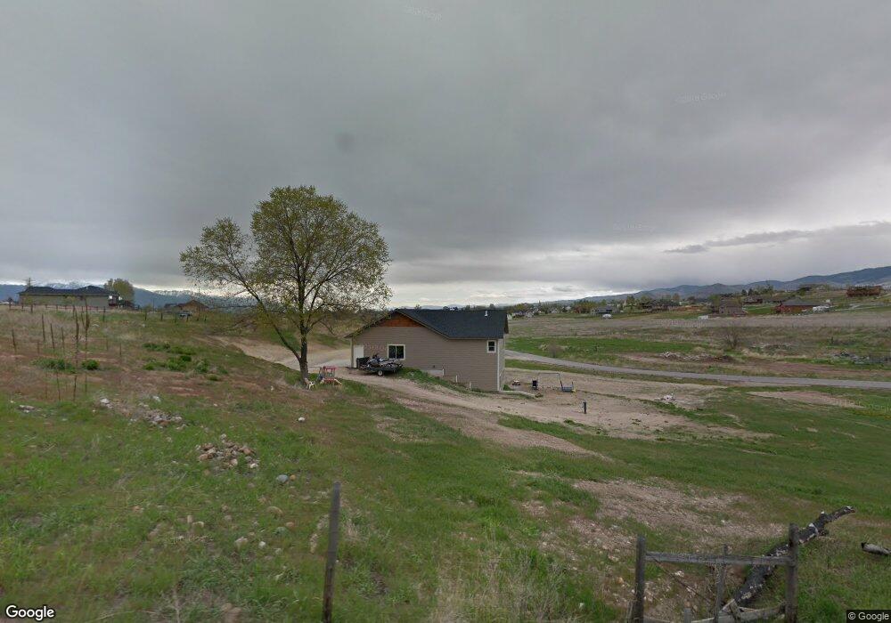
619 Safe Haven Ct Corvallis, MT 59828
Estimated Value: $783,000 - $1,084,000
5
Beds
2
Baths
3,368
Sq Ft
$264/Sq Ft
Est. Value
About This Home
This home is located at 619 Safe Haven Ct, Corvallis, MT 59828 and is currently estimated at $888,363, approximately $263 per square foot. 619 Safe Haven Ct is a home located in Ravalli County with nearby schools including Quentin Brown Primary School and Corvallis High School.
Ownership History
Date
Name
Owned For
Owner Type
Purchase Details
Closed on
Oct 16, 2014
Sold by
Misty Vale Dairy Inc
Bought by
Koerner Curtis William and Koerner Natasha Marie
Current Estimated Value
Home Financials for this Owner
Home Financials are based on the most recent Mortgage that was taken out on this home.
Original Mortgage
$230,000
Interest Rate
4.1%
Mortgage Type
New Conventional
Create a Home Valuation Report for This Property
The Home Valuation Report is an in-depth analysis detailing your home's value as well as a comparison with similar homes in the area
Home Values in the Area
Average Home Value in this Area
Purchase History
| Date | Buyer | Sale Price | Title Company |
|---|---|---|---|
| Koerner Curtis William | $287,500 | Attorney Only |
Source: Public Records
Mortgage History
| Date | Status | Borrower | Loan Amount |
|---|---|---|---|
| Closed | Koerner Curtis William | $230,000 |
Source: Public Records
Tax History Compared to Growth
Tax History
| Year | Tax Paid | Tax Assessment Tax Assessment Total Assessment is a certain percentage of the fair market value that is determined by local assessors to be the total taxable value of land and additions on the property. | Land | Improvement |
|---|---|---|---|---|
| 2025 | $2,349 | $663,500 | $0 | $0 |
| 2024 | $2,680 | $510,100 | $0 | $0 |
| 2023 | $2,774 | $510,100 | $0 | $0 |
| 2022 | $2,524 | $396,900 | $0 | $0 |
| 2021 | $2,717 | $396,900 | $0 | $0 |
| 2020 | $2,601 | $351,400 | $0 | $0 |
| 2019 | $2,556 | $351,400 | $0 | $0 |
| 2018 | $2,547 | $328,300 | $0 | $0 |
| 2017 | $2,364 | $328,300 | $0 | $0 |
| 2016 | $2,445 | $339,100 | $0 | $0 |
| 2015 | $2,415 | $339,100 | $0 | $0 |
| 2014 | $1,889 | $153,859 | $0 | $0 |
Source: Public Records
Map
Nearby Homes
- 563 Bass Ln
- 612 Wises Way
- 407 Joseph Dr
- 423 Bedrock Dr
- 412 Bass Ln
- 446 Eagle Ln
- 513 Jared Way
- 807 Honey House Ln
- 130 Martin Dr
- 486 Ryans Way
- 245 Olde Rd
- 780 and 770 Mason Ln
- 632 Mihara Ln
- 794 Mason Ln
- 780 Mason Ln
- 344 Harold Ln
- 512 Willow Ridge Way
- 1001 Continental Way
- 479 Willow Creek Rd
- 645 Old Corvallis Rd