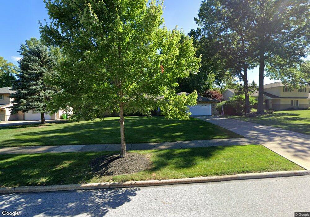
619 Sturbridge Dr Cleveland, OH 44143
Estimated Value: $363,000 - $392,000
3
Beds
3
Baths
1,864
Sq Ft
$200/Sq Ft
Est. Value
About This Home
This home is located at 619 Sturbridge Dr, Cleveland, OH 44143 and is currently estimated at $372,956, approximately $200 per square foot. 619 Sturbridge Dr is a home located in Cuyahoga County with nearby schools including Mayfield High School and Saint Paschal Baylon School.
Ownership History
Date
Name
Owned For
Owner Type
Purchase Details
Closed on
Aug 5, 2015
Sold by
Sharnas Darryl
Bought by
Blatt Susan E
Current Estimated Value
Home Financials for this Owner
Home Financials are based on the most recent Mortgage that was taken out on this home.
Original Mortgage
$211,600
Outstanding Balance
$166,309
Interest Rate
4.01%
Mortgage Type
Purchase Money Mortgage
Estimated Equity
$206,647
Purchase Details
Closed on
Mar 20, 2008
Sold by
Henry Alice Katherine and Dubbs Shirley Joyce
Bought by
Sharnas Darryl
Purchase Details
Closed on
Jun 9, 1977
Sold by
Builders G and Builders L
Bought by
Dubbs Shirley Joyce
Purchase Details
Closed on
Jan 1, 1975
Bought by
Builders Builders G and Builders L
Create a Home Valuation Report for This Property
The Home Valuation Report is an in-depth analysis detailing your home's value as well as a comparison with similar homes in the area
Home Values in the Area
Average Home Value in this Area
Purchase History
| Date | Buyer | Sale Price | Title Company |
|---|---|---|---|
| Blatt Susan E | $249,000 | Ohio Real Title | |
| Sharnas Darryl | $220,000 | Chicago Title Insurance C | |
| Dubbs Shirley Joyce | $84,500 | -- | |
| Builders Builders G | -- | -- |
Source: Public Records
Mortgage History
| Date | Status | Borrower | Loan Amount |
|---|---|---|---|
| Open | Blatt Susan E | $211,600 |
Source: Public Records
Tax History Compared to Growth
Tax History
| Year | Tax Paid | Tax Assessment Tax Assessment Total Assessment is a certain percentage of the fair market value that is determined by local assessors to be the total taxable value of land and additions on the property. | Land | Improvement |
|---|---|---|---|---|
| 2024 | $6,565 | $105,280 | $27,335 | $77,945 |
| 2023 | $6,082 | $85,820 | $21,770 | $64,050 |
| 2022 | $6,043 | $85,820 | $21,770 | $64,050 |
| 2021 | $5,993 | $85,820 | $21,770 | $64,050 |
| 2020 | $5,775 | $75,290 | $19,110 | $56,180 |
| 2019 | $5,590 | $215,100 | $54,600 | $160,500 |
| 2018 | $5,297 | $75,290 | $19,110 | $56,180 |
| 2017 | $5,674 | $71,510 | $14,740 | $56,770 |
| 2016 | $5,629 | $71,510 | $14,740 | $56,770 |
| 2015 | $5,312 | $71,510 | $14,740 | $56,770 |
| 2014 | $5,312 | $75,260 | $15,510 | $59,750 |
Source: Public Records
Map
Nearby Homes
- 640 Gloucester Dr
- 592 Rutland Dr
- 595 Jefferson Dr
- 711 Lander Rd
- 6004 Highland Rd
- 784 Lander Rd
- 5807 Wilson Mills Rd
- 6015 Wilson Mills Rd
- 5679 Wilson Mills Rd
- 5560 Highland Rd
- 833 Lander Rd
- V/L Bishop Rd
- 848 Stanwell Dr
- 5485 Kenbridge Dr
- 5536 Turnberry Ln
- 651 Clinton Ln
- 874 Lander Rd
- 0 Bishop Rd Unit 5133575
- 920 Rose Blvd
- 754 Esther Rd
- 623 Sturbridge Dr
- 621 Sturbridge Dr
- 615 Sturbridge Dr
- 622 Gloucester Dr
- 618 Gloucester Dr
- 611 Sturbridge Dr
- 620 Sturbridge Dr
- 626 Gloucester Dr
- 614 Gloucester Dr
- 616 Sturbridge Dr
- 612 Sturbridge Dr
- 610 Gloucester Dr
- 607 Sturbridge Dr
- 5870 Blair Dr
- 5860 Blair Dr
- 5880 Blair Dr
- 608 Sturbridge Dr
- 5850 Blair Dr
- 630 Gloucester Dr
- 606 Gloucester Dr