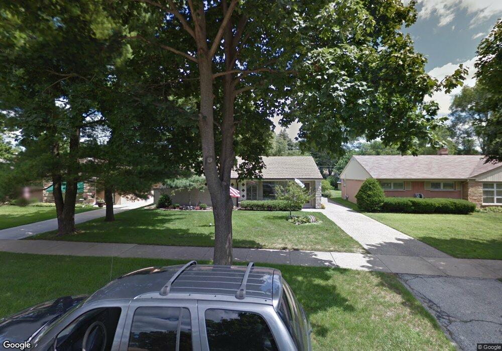
619 Wesley Dr Park Ridge, IL 60068
Estimated Value: $537,558 - $632,000
3
Beds
2
Baths
1,810
Sq Ft
$318/Sq Ft
Est. Value
About This Home
This home is located at 619 Wesley Dr, Park Ridge, IL 60068 and is currently estimated at $575,890, approximately $318 per square foot. 619 Wesley Dr is a home located in Cook County with nearby schools including George B Carpenter Elementary School, Lincoln Middle School, and Maine South High School.
Ownership History
Date
Name
Owned For
Owner Type
Purchase Details
Closed on
Jul 10, 2017
Sold by
Miller Kenneth P and Miller Cheryl
Bought by
Miller Kenneth P
Current Estimated Value
Purchase Details
Closed on
Apr 16, 1997
Sold by
Miller Kenneth P
Bought by
Miller Kenneth P and Miller Cheryl
Home Financials for this Owner
Home Financials are based on the most recent Mortgage that was taken out on this home.
Original Mortgage
$133,250
Interest Rate
7.92%
Create a Home Valuation Report for This Property
The Home Valuation Report is an in-depth analysis detailing your home's value as well as a comparison with similar homes in the area
Home Values in the Area
Average Home Value in this Area
Purchase History
| Date | Buyer | Sale Price | Title Company |
|---|---|---|---|
| Miller Kenneth P | -- | Attorney | |
| Miller Kenneth P | -- | -- |
Source: Public Records
Mortgage History
| Date | Status | Borrower | Loan Amount |
|---|---|---|---|
| Closed | Miller Kenneth P | $133,250 |
Source: Public Records
Tax History
| Year | Tax Paid | Tax Assessment Tax Assessment Total Assessment is a certain percentage of the fair market value that is determined by local assessors to be the total taxable value of land and additions on the property. | Land | Improvement |
|---|---|---|---|---|
| 2025 | $9,278 | $49,000 | $11,662 | $37,338 |
| 2024 | $9,278 | $40,154 | $9,781 | $30,373 |
| 2023 | $8,841 | $40,154 | $9,781 | $30,373 |
| 2022 | $8,841 | $40,154 | $9,781 | $30,373 |
| 2021 | $6,892 | $28,655 | $6,395 | $22,260 |
| 2020 | $6,738 | $28,655 | $6,395 | $22,260 |
| 2019 | $6,689 | $31,839 | $6,395 | $25,444 |
| 2018 | $8,112 | $34,530 | $5,643 | $28,887 |
| 2017 | $8,444 | $35,707 | $5,643 | $30,064 |
| 2016 | $8,623 | $35,707 | $5,643 | $30,064 |
| 2015 | $7,831 | $29,887 | $4,890 | $24,997 |
| 2014 | $7,495 | $29,887 | $4,890 | $24,997 |
| 2013 | $7,268 | $29,887 | $4,890 | $24,997 |
Source: Public Records
Map
Nearby Homes
- 700 Florence Dr
- 22 Park Ln Unit 203
- 22 Park Ln Unit 220
- 832 Sylviawood Ave
- 2405 Avondale Ave
- 1100 Potter Rd
- 911 Busse Hwy Unit 302
- 2200 Bouterse St Unit 407
- 38 E Touhy Ave
- 1 N Dee Rd Unit 3G
- 819 Busse Hwy
- 2469 Parkwood Ln
- 60 S Dee Rd Unit G
- 1207 Hoffman Ave
- 241 N Hamlin Ave
- 1640 S River Rd
- 200 Thames Pkwy Unit 1
- 941 N Northwest Hwy Unit 3B
- 701 Busse Hwy Unit 1A
- 1133 Fortuna Ave
Your Personal Tour Guide
Ask me questions while you tour the home.