6190 Custer Frontage Rd Custer, MT 59024
Estimated Value: $421,000 - $800,048
3
Beds
2
Baths
2,486
Sq Ft
$242/Sq Ft
Est. Value
About This Home
This home is located at 6190 Custer Frontage Rd, Custer, MT 59024 and is currently estimated at $602,683, approximately $242 per square foot. 6190 Custer Frontage Rd is a home located in Yellowstone County with nearby schools including Custer Elementary School, Custer Junior High School, and Custer High School.
Ownership History
Date
Name
Owned For
Owner Type
Purchase Details
Closed on
Jul 20, 2021
Sold by
Ruff and Annett
Bought by
Corbett Ranch Llc
Current Estimated Value
Create a Home Valuation Report for This Property
The Home Valuation Report is an in-depth analysis detailing your home's value as well as a comparison with similar homes in the area
Home Values in the Area
Average Home Value in this Area
Purchase History
| Date | Buyer | Sale Price | Title Company |
|---|---|---|---|
| Corbett Ranch Llc | -- | First American Title |
Source: Public Records
Tax History Compared to Growth
Tax History
| Year | Tax Paid | Tax Assessment Tax Assessment Total Assessment is a certain percentage of the fair market value that is determined by local assessors to be the total taxable value of land and additions on the property. | Land | Improvement |
|---|---|---|---|---|
| 2025 | $4,317 | $531,023 | $57,663 | $473,360 |
| 2024 | $4,317 | $436,177 | $48,677 | $387,500 |
| 2023 | $4,315 | $436,177 | $48,677 | $387,500 |
| 2022 | $3,644 | $387,298 | $0 | $0 |
| 2021 | $3,818 | $397,710 | $0 | $0 |
| 2020 | $3,664 | $373,814 | $0 | $0 |
| 2019 | $3,615 | $373,814 | $0 | $0 |
| 2018 | $3,206 | $322,130 | $0 | $0 |
| 2017 | $3,020 | $322,130 | $0 | $0 |
| 2016 | $2,557 | $325,474 | $0 | $0 |
| 2015 | $2,401 | $310,144 | $0 | $0 |
| 2014 | $2,131 | $157,856 | $0 | $0 |
Source: Public Records
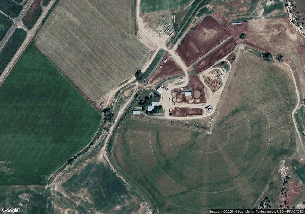
Map
Nearby Homes
- 108 3rd Ave
- 8631 Buffalo Creek Rd
- TBD 147a
- TBD County Rd 147a
- 0 Tbd County Rd 147a Unit 23713582
- 0 Tbd County Rd 147a Unit 11507932
- 7801 Custer Frontage Rd
- 6031 Musselshell Trail Rd
- 3614 2nd St S
- 2 2nd St S
- 2703 S Pompeys Rd
- 10270 Montana 47
- 3034 E J Rd
- 874 Allen Dr
- 6970 Pineview Rd
- to Be determined W
- 101 Gta Ln
- 2408 E I Rd
- 7200 Pineview Rd