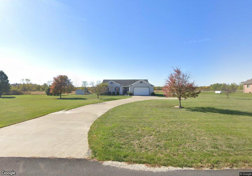
6191 Hasis Rd Celina, OH 45822
Estimated Value: $229,000 - $387,000
3
Beds
2
Baths
1,842
Sq Ft
$178/Sq Ft
Est. Value
About This Home
This home is located at 6191 Hasis Rd, Celina, OH 45822 and is currently estimated at $328,627, approximately $178 per square foot. 6191 Hasis Rd is a home located in Mercer County with nearby schools including Celina Middle School and Celina High School.
Ownership History
Date
Name
Owned For
Owner Type
Purchase Details
Closed on
Apr 21, 2010
Sold by
Deibel Robert J and Deibel Dana R
Bought by
Bohman Kevin D
Current Estimated Value
Home Financials for this Owner
Home Financials are based on the most recent Mortgage that was taken out on this home.
Original Mortgage
$153,425
Interest Rate
5.05%
Mortgage Type
Purchase Money Mortgage
Purchase Details
Closed on
Apr 7, 2006
Sold by
Smith Sherry D
Bought by
Deibel Robert J and Deibel Dana R
Home Financials for this Owner
Home Financials are based on the most recent Mortgage that was taken out on this home.
Original Mortgage
$124,000
Interest Rate
6.33%
Mortgage Type
New Conventional
Create a Home Valuation Report for This Property
The Home Valuation Report is an in-depth analysis detailing your home's value as well as a comparison with similar homes in the area
Home Values in the Area
Average Home Value in this Area
Purchase History
| Date | Buyer | Sale Price | Title Company |
|---|---|---|---|
| Bohman Kevin D | $161,520 | Attorney | |
| Deibel Robert J | -- | None Available |
Source: Public Records
Mortgage History
| Date | Status | Borrower | Loan Amount |
|---|---|---|---|
| Previous Owner | Bohman Kevin D | $153,425 | |
| Previous Owner | Deibel Robert J | $124,000 |
Source: Public Records
Tax History Compared to Growth
Tax History
| Year | Tax Paid | Tax Assessment Tax Assessment Total Assessment is a certain percentage of the fair market value that is determined by local assessors to be the total taxable value of land and additions on the property. | Land | Improvement |
|---|---|---|---|---|
| 2024 | $3,936 | $98,980 | $12,950 | $86,030 |
| 2023 | $3,936 | $98,980 | $12,950 | $86,030 |
| 2022 | $3,184 | $68,810 | $12,250 | $56,560 |
| 2021 | $3,159 | $68,110 | $12,250 | $55,860 |
| 2020 | $2,659 | $68,110 | $12,250 | $55,860 |
| 2019 | $2,544 | $61,360 | $11,130 | $50,230 |
| 2018 | $2,621 | $61,360 | $11,130 | $50,230 |
| 2017 | $2,695 | $61,360 | $11,130 | $50,230 |
| 2016 | $2,768 | $64,480 | $11,240 | $53,240 |
| 2015 | $2,688 | $66,300 | $11,240 | $55,060 |
| 2014 | $2,693 | $66,300 | $11,240 | $55,060 |
| 2013 | $2,727 | $62,550 | $10,610 | $51,940 |
Source: Public Records
Map
Nearby Homes
- 9155 Us Route 127
- 5110 Fast Rd
- 7295 Oregon Rd
- 7680 Celina Mendon Rd
- 2010 Barnsbury Ct
- 1528 Mary Ln
- 1312 Michael Ave
- 2504 Eaglebrooke Pkwy
- 2409 Eaglebrooke Pkwy
- 0 Drake St
- 209 S Wayne St
- 1218 Brittany Dr
- 905 N Walnut St
- 316 Dogwood Dr
- 680 N Main St
- 7422 Staeger Rd
- 611 N Sugar St
- 628 Hoying St
- 541 Lisle St
- 8323 Deep Cut Rd