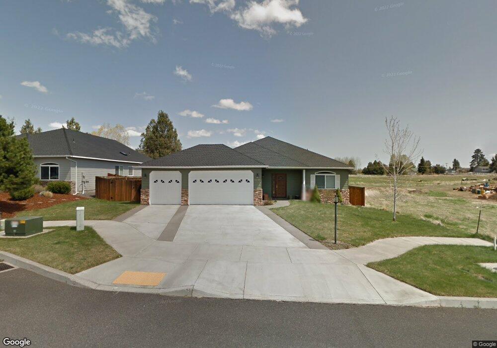
61930 Rawhide Dr Bend, OR 97702
Larkspur NeighborhoodEstimated Value: $679,637 - $737,000
3
Beds
2
Baths
2,130
Sq Ft
$337/Sq Ft
Est. Value
About This Home
This home is located at 61930 Rawhide Dr, Bend, OR 97702 and is currently estimated at $717,909, approximately $337 per square foot. 61930 Rawhide Dr is a home located in Deschutes County with nearby schools including Bear Creek Elementary School, Pilot Butte Middle School, and Bend Senior High School.
Ownership History
Date
Name
Owned For
Owner Type
Purchase Details
Closed on
Jan 29, 2004
Sold by
Blue Skies Development Inc
Bought by
Flores Robert and Flores Susan M
Current Estimated Value
Home Financials for this Owner
Home Financials are based on the most recent Mortgage that was taken out on this home.
Original Mortgage
$175,000
Interest Rate
6.29%
Mortgage Type
Unknown
Create a Home Valuation Report for This Property
The Home Valuation Report is an in-depth analysis detailing your home's value as well as a comparison with similar homes in the area
Home Values in the Area
Average Home Value in this Area
Purchase History
| Date | Buyer | Sale Price | Title Company |
|---|---|---|---|
| Flores Robert | $263,393 | First Amer Title Ins Co Or |
Source: Public Records
Mortgage History
| Date | Status | Borrower | Loan Amount |
|---|---|---|---|
| Previous Owner | Flores Robert | $175,000 |
Source: Public Records
Tax History
| Year | Tax Paid | Tax Assessment Tax Assessment Total Assessment is a certain percentage of the fair market value that is determined by local assessors to be the total taxable value of land and additions on the property. | Land | Improvement |
|---|---|---|---|---|
| 2025 | $5,174 | $306,200 | -- | -- |
| 2024 | $4,978 | $297,290 | -- | -- |
| 2023 | $4,614 | $288,640 | $0 | $0 |
| 2022 | $4,305 | $272,080 | $0 | $0 |
| 2021 | $4,312 | $264,160 | $0 | $0 |
| 2020 | $4,091 | $264,160 | $0 | $0 |
| 2019 | $3,977 | $256,470 | $0 | $0 |
| 2018 | $3,864 | $249,000 | $0 | $0 |
| 2017 | $3,751 | $241,750 | $0 | $0 |
| 2016 | $3,577 | $234,710 | $0 | $0 |
| 2015 | $3,478 | $227,880 | $0 | $0 |
| 2014 | $3,376 | $221,250 | $0 | $0 |
Source: Public Records
Map
Nearby Homes
- 301 SE Springer Ct
- 62062 Dean Swift Rd
- 21191 SE Kayla Ct
- 61839 Avonlea Cir
- 61813 Azalia Place
- 98 NE Telima Ln
- 21024 SE Azalia Ave
- 29850 NE Highway 20
- 61839 SE 27th St
- 161 SE Rice Way
- 2200 NE Hwy 20 Unit 15
- 789 SE Airpark Dr
- 61725 SE Daly Estates Rd
- 21177 Ritz Place
- 1540 NE Bear Creek Rd
- 21182 Desert Skies Place
- 268 SE 15th St Unit 268/270
- 61683 Daly Estates Dr
- 21503 Oconnor Way
- 21489 Oconnor Way Unit 17
- 61936 SE Rawhide
- 61936 Rawhide Dr
- 21081 Pettigrew Ct
- 61942 Rawhide Dr
- 2250 SE Wind Rider Ln
- 21074 Pettigrew Ct
- 21083 Pettigrew Ct
- 61948 Rawhide Dr
- 2253 SE Pilatus Ln
- 2244 SE Wind Rider Ln
- 21082 Pettigrew Ct
- 2247 SE Pilatus Ln
- 2238 SE Wind Rider Ln
- 61954 Rawhide Dr
- 2241 SE Pilatus Ln
- 21091 Pettigrew Ct
- 2252 SE Pilatus Ln
- 308 SE Springer Ct
- 2232 SE Wind Rider Ln
- 314 SE Springer Ct
Your Personal Tour Guide
Ask me questions while you tour the home.