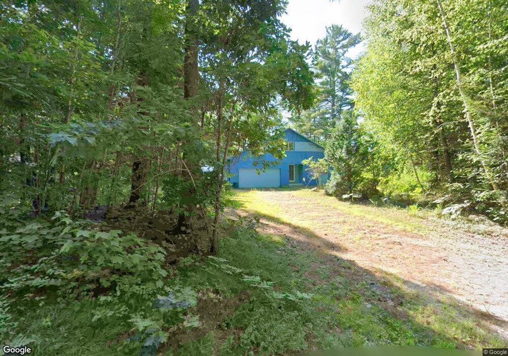
62 Butterworth Rd Orange, MA 01364
Estimated Value: $476,000 - $618,000
2
Beds
3
Baths
2,780
Sq Ft
$189/Sq Ft
Est. Value
About This Home
This home is located at 62 Butterworth Rd, Orange, MA 01364 and is currently estimated at $526,325, approximately $189 per square foot. 62 Butterworth Rd is a home located in Franklin County with nearby schools including Fisher Hill and Ralph C Mahar Regional School.
Ownership History
Date
Name
Owned For
Owner Type
Purchase Details
Closed on
May 2, 2024
Sold by
Black Jane
Bought by
Black Jane
Current Estimated Value
Purchase Details
Closed on
Nov 28, 2006
Sold by
Heyes Fred L
Bought by
Black Christopher E
Create a Home Valuation Report for This Property
The Home Valuation Report is an in-depth analysis detailing your home's value as well as a comparison with similar homes in the area
Home Values in the Area
Average Home Value in this Area
Purchase History
| Date | Buyer | Sale Price | Title Company |
|---|---|---|---|
| Black Jane | -- | None Available | |
| Black Jane | -- | None Available | |
| Black Christopher E | $67,500 | -- | |
| Black Christopher E | $67,500 | -- |
Source: Public Records
Mortgage History
| Date | Status | Borrower | Loan Amount |
|---|---|---|---|
| Previous Owner | Black Christopher E | $140,000 |
Source: Public Records
Tax History Compared to Growth
Tax History
| Year | Tax Paid | Tax Assessment Tax Assessment Total Assessment is a certain percentage of the fair market value that is determined by local assessors to be the total taxable value of land and additions on the property. | Land | Improvement |
|---|---|---|---|---|
| 2025 | $80 | $484,900 | $34,900 | $450,000 |
| 2024 | $7,508 | $430,500 | $34,900 | $395,600 |
| 2023 | $6,449 | $359,100 | $34,900 | $324,200 |
| 2022 | $6,621 | $346,300 | $34,900 | $311,400 |
| 2021 | $6,400 | $319,200 | $51,500 | $267,700 |
| 2020 | $6,428 | $316,200 | $51,100 | $265,100 |
| 2019 | $6,254 | $277,700 | $44,500 | $233,200 |
| 2018 | $5,919 | $269,800 | $41,500 | $228,300 |
| 2017 | $5,728 | $269,800 | $41,500 | $228,300 |
| 2016 | $5,518 | $254,300 | $41,500 | $212,800 |
| 2015 | $5,178 | $249,300 | $41,500 | $207,800 |
| 2014 | $5,000 | $253,300 | $41,500 | $211,800 |
Source: Public Records
Map
Nearby Homes
- 4 Elm Ave
- 15 A-B Tully Rd
- LOT Walnut Hill
- 52 Creamery Hill Rd
- 78 Athol Richmond Rd
- 900 N Main St
- 2791 Old Keene Rd
- 350 Athol Richmond Rd
- 260 East Rd
- 15 Tully Rd
- 31 Pinedale Rd
- 3327 Chestnut Hill Ave
- 0 Adams Dr
- 2978 Chestnut Hill Ave
- 9 On the Common
- 0 Northfield Rd Unit 73441997
- 0 S Royalston Rd
- 660 Pinedale Ave
- 0 Oxbow Unit 73446570
- 0 W Royalston Rd
- 80 Butterworth Rd
- 42 Butterworth Rd
- 92 Butterworth Rd
- 104 Butterworth Rd
- 120 Butterworth Rd
- 497 Tully Rd
- 146 Butterworth Rd
- 485 Tully Rd
- 174 Butterworth Rd
- 517 Tully Rd
- 465 Tully Rd
- 286 Butterworth Rd Unit 1
- 288 Butterworth Rd Unit 2
- 286 Butterworth Rd Unit 288
- 455 Tully Rd
- 527 Tully Rd
- 537 Tully Rd
- 73 Butterworth Rd
- 50 Flagg Rd
- 75 Butterworth Rd