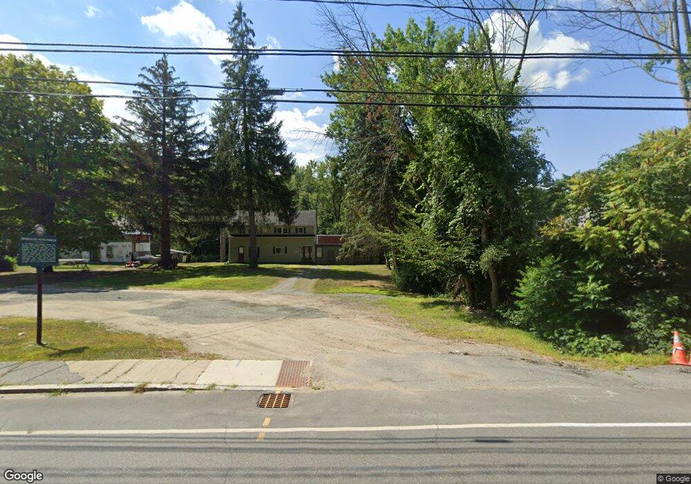
62 Canal St Hinsdale, NH 03451
Estimated Value: $255,564 - $357,000
4
Beds
3
Baths
1,872
Sq Ft
$158/Sq Ft
Est. Value
About This Home
This home is located at 62 Canal St, Hinsdale, NH 03451 and is currently estimated at $294,891, approximately $157 per square foot. 62 Canal St is a home located in Cheshire County with nearby schools including Hinsdale Elementary School, Hinsdale Middle School, and Hinsdale High School.
Ownership History
Date
Name
Owned For
Owner Type
Purchase Details
Closed on
Mar 17, 2011
Sold by
Vittum Eloise K
Bought by
Shuey Brian R
Current Estimated Value
Home Financials for this Owner
Home Financials are based on the most recent Mortgage that was taken out on this home.
Original Mortgage
$116,150
Interest Rate
4.84%
Mortgage Type
Purchase Money Mortgage
Create a Home Valuation Report for This Property
The Home Valuation Report is an in-depth analysis detailing your home's value as well as a comparison with similar homes in the area
Home Values in the Area
Average Home Value in this Area
Purchase History
| Date | Buyer | Sale Price | Title Company |
|---|---|---|---|
| Shuey Brian R | $148,000 | -- |
Source: Public Records
Mortgage History
| Date | Status | Borrower | Loan Amount |
|---|---|---|---|
| Open | Shuey Brian R | $114,748 | |
| Closed | Shuey Brian R | $116,150 |
Source: Public Records
Tax History Compared to Growth
Tax History
| Year | Tax Paid | Tax Assessment Tax Assessment Total Assessment is a certain percentage of the fair market value that is determined by local assessors to be the total taxable value of land and additions on the property. | Land | Improvement |
|---|---|---|---|---|
| 2024 | $6,011 | $204,513 | $37,113 | $167,400 |
| 2023 | $5,739 | $204,513 | $37,113 | $167,400 |
| 2022 | $5,722 | $204,513 | $37,113 | $167,400 |
| 2021 | $4,120 | $126,200 | $31,000 | $95,200 |
| 2020 | $4,310 | $126,200 | $31,000 | $95,200 |
| 2019 | $4,300 | $126,200 | $31,000 | $95,200 |
| 2018 | $4,442 | $126,200 | $31,000 | $95,200 |
| 2017 | $3,838 | $126,200 | $31,000 | $95,200 |
| 2016 | $3,603 | $133,800 | $29,100 | $104,700 |
| 2015 | $3,423 | $132,200 | $29,100 | $103,100 |
| 2014 | $3,448 | $132,200 | $29,100 | $103,100 |
| 2013 | $3,417 | $132,200 | $29,100 | $103,100 |
Source: Public Records
Map
Nearby Homes
- 11 Cream Pot Hill Rd
- 12 Todd Hill Rd
- 32 Main St
- 95 Plain Rd
- 231 Chesterfield Rd
- 75 Hinsdale Heights
- 142 Brattleboro Rd
- 263 Old Chesterfield Rd
- 0 Ashuelot Main St Unit 4978464
- 48 Robbins St
- 6 Pine St
- 18 Pine St
- 16 Hillcrest St
- 21 Cedar St
- 18 Springbrook St
- 22 Springbrook St
- 4 Tara Hill Ln
- 0 Huckle Hill Rd Unit 5059719
- 50 Robbins St
- 2069 Fort Bridgman Rd