62 Carter Ln Robertsville, MO 63072
Estimated Value: $318,000 - $346,739
3
Beds
3
Baths
1,420
Sq Ft
$236/Sq Ft
Est. Value
About This Home
This home is located at 62 Carter Ln, Robertsville, MO 63072 and is currently estimated at $335,246, approximately $236 per square foot. 62 Carter Ln is a home located in Franklin County with nearby schools including Lonedell Elementary School.
Ownership History
Date
Name
Owned For
Owner Type
Purchase Details
Closed on
Apr 1, 2005
Sold by
Hill Harold R and Hill Nicole L
Bought by
Stitz Henry E and Stitz Susan A
Current Estimated Value
Home Financials for this Owner
Home Financials are based on the most recent Mortgage that was taken out on this home.
Original Mortgage
$72,500
Interest Rate
5.75%
Mortgage Type
New Conventional
Create a Home Valuation Report for This Property
The Home Valuation Report is an in-depth analysis detailing your home's value as well as a comparison with similar homes in the area
Home Values in the Area
Average Home Value in this Area
Purchase History
| Date | Buyer | Sale Price | Title Company |
|---|---|---|---|
| Stitz Henry E | $173,500 | None Available |
Source: Public Records
Mortgage History
| Date | Status | Borrower | Loan Amount |
|---|---|---|---|
| Closed | Stitz Henry E | $72,500 |
Source: Public Records
Tax History Compared to Growth
Tax History
| Year | Tax Paid | Tax Assessment Tax Assessment Total Assessment is a certain percentage of the fair market value that is determined by local assessors to be the total taxable value of land and additions on the property. | Land | Improvement |
|---|---|---|---|---|
| 2025 | $2,459 | $39,856 | $0 | $0 |
| 2024 | $2,459 | $32,786 | $0 | $0 |
| 2023 | $1,911 | $32,786 | $0 | $0 |
| 2022 | $2,103 | $36,065 | $0 | $0 |
| 2021 | $2,096 | $36,065 | $0 | $0 |
| 2020 | $1,927 | $32,598 | $0 | $0 |
| 2019 | $1,925 | $32,598 | $0 | $0 |
| 2018 | $1,891 | $31,823 | $0 | $0 |
| 2017 | $1,875 | $31,823 | $0 | $0 |
| 2016 | $1,744 | $29,628 | $0 | $0 |
| 2015 | $1,740 | $29,628 | $0 | $0 |
| 2014 | $1,737 | $31,124 | $0 | $0 |
Source: Public Records
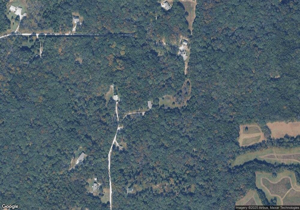
Map
Nearby Homes
- 1811 Hendricks Rd
- 1855 Hendricks Rd
- 0 N Hendricks Rd Unit MIS25078611
- 4373 E Linda Ln
- 2227 State Route N
- 5199 Highway N
- 8716 Highway Hh
- 563 Calvey Heights Ct
- 5563 E Anding Dr
- 420 Nancy Dr
- 10262 Hawks Rd
- 0 Watts Ridge Dr
- 000 Forest Rd
- 525 Cedar View Dr
- 0 Woodland Valley Dr Unit MAR25002747
- 000 Fairview Church Rd
- 9916 Hawks Point Dr
- 9265 St Route 30
- 9123 Woodland Trail Dr
- 7933 Medley Dr
- 63 Carter Ln
- 72 Carter Ln
- 0 Wardfield Rd
- 206 Wild Turkey Ln
- 30Lot Carter Ln
- 108 Carter Ln
- 89 Carter Ln
- 0 Wild Turkey Ln Unit 10025431
- 0 Wild Turkey Ln Unit 20079846
- 200 Wild Turkey Ln
- 105 Carter Ln
- 30 Carter Lot Ln
- 241 Wild Turkey Ln
- 260 Wild Turkey Ln
- 125 Carter Ln
- 126 Carter Ln
- 271 Wild Turkey Ln
- 311 Oak Leaf Ln
- 338 Wild Turkey Ln
- 356 Wild Turkey Ln