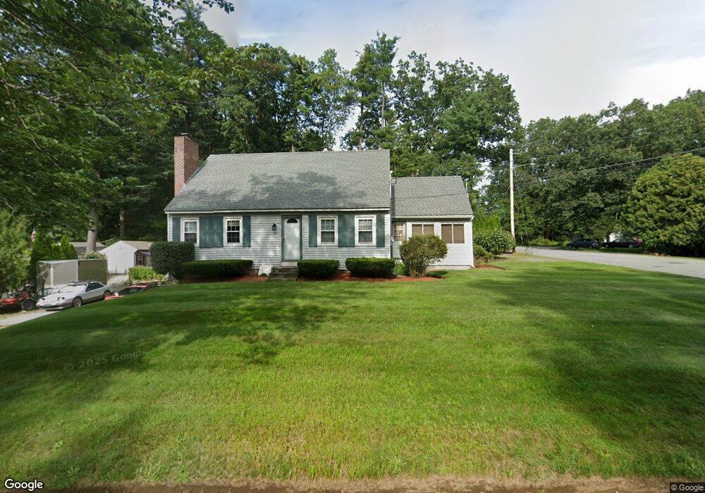
62 Conant Rd Nashua, NH 03062
Southwest Nashua NeighborhoodEstimated Value: $530,865 - $596,000
3
Beds
2
Baths
1,582
Sq Ft
$357/Sq Ft
Est. Value
About This Home
This home is located at 62 Conant Rd, Nashua, NH 03062 and is currently estimated at $564,966, approximately $357 per square foot. 62 Conant Rd is a home located in Hillsborough County with nearby schools including Main Dunstable School, Elm Street Middle School, and Nashua High School South.
Ownership History
Date
Name
Owned For
Owner Type
Purchase Details
Closed on
Jun 10, 2010
Sold by
Donovan Christine M
Bought by
Mohla Lorinda J
Current Estimated Value
Home Financials for this Owner
Home Financials are based on the most recent Mortgage that was taken out on this home.
Original Mortgage
$206,000
Interest Rate
5.11%
Mortgage Type
Purchase Money Mortgage
Purchase Details
Closed on
Aug 6, 2003
Sold by
Pelletier Charles G and Pelletier Barbara A
Bought by
Donovan Christine M
Create a Home Valuation Report for This Property
The Home Valuation Report is an in-depth analysis detailing your home's value as well as a comparison with similar homes in the area
Home Values in the Area
Average Home Value in this Area
Purchase History
| Date | Buyer | Sale Price | Title Company |
|---|---|---|---|
| Mohla Lorinda J | $257,500 | -- | |
| Donovan Christine M | $260,000 | -- |
Source: Public Records
Mortgage History
| Date | Status | Borrower | Loan Amount |
|---|---|---|---|
| Open | Donovan Christine M | $184,000 | |
| Closed | Donovan Christine M | $206,000 | |
| Previous Owner | Donovan Christine M | $153,000 | |
| Previous Owner | Donovan Christine M | $150,000 |
Source: Public Records
Tax History
| Year | Tax Paid | Tax Assessment Tax Assessment Total Assessment is a certain percentage of the fair market value that is determined by local assessors to be the total taxable value of land and additions on the property. | Land | Improvement |
|---|---|---|---|---|
| 2025 | $7,446 | $442,400 | $160,300 | $282,100 |
| 2024 | $7,034 | $442,400 | $160,300 | $282,100 |
| 2023 | $6,627 | $363,500 | $128,200 | $235,300 |
| 2022 | $6,568 | $363,500 | $128,200 | $235,300 |
| 2021 | $6,035 | $259,900 | $85,500 | $174,400 |
| 2020 | $5,838 | $258,200 | $85,500 | $172,700 |
| 2019 | $5,618 | $258,200 | $85,500 | $172,700 |
| 2018 | $5,476 | $258,200 | $85,500 | $172,700 |
| 2017 | $5,359 | $207,800 | $66,500 | $141,300 |
| 2016 | $5,210 | $207,800 | $66,500 | $141,300 |
| 2015 | $5,097 | $207,800 | $66,500 | $141,300 |
| 2014 | $4,998 | $207,800 | $66,500 | $141,300 |
Source: Public Records
Map
Nearby Homes
- 16 Champagne Dr Unit U31
- 103 Saranac Dr
- 5 Ronnie Dr
- 5 Wilderness Dr
- 27 Hyacinth Dr
- 4 Kittery Dr
- 17 Twilight Dr
- 70 Tenby Dr
- 154 Westwood Dr
- 4 Henry David Dr Unit 103
- 4 Henry David Dr Unit 203
- 2 Henry David Dr Unit 207
- 2 Doncaster Dr
- 20 Nightingale Rd
- 10 Houston Dr
- 36 Silverton Dr Unit U85
- 22 Taschereau Blvd
- 36 Hibiscus Way
- 4 Nightingale Rd
- 9 Leslie Ln
Your Personal Tour Guide
Ask me questions while you tour the home.