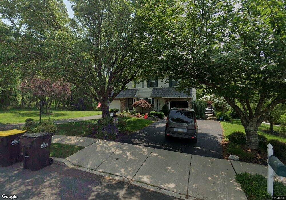
62 Country Rd Perkasie, PA 18944
Estimated Value: $428,000 - $449,705
3
Beds
2
Baths
1,820
Sq Ft
$240/Sq Ft
Est. Value
About This Home
This home is located at 62 Country Rd, Perkasie, PA 18944 and is currently estimated at $437,426, approximately $240 per square foot. 62 Country Rd is a home located in Bucks County with nearby schools including Pennridge High School and Community Service Foundation.
Ownership History
Date
Name
Owned For
Owner Type
Purchase Details
Closed on
Aug 27, 2004
Sold by
Dusza Edward Andrew and Dusza Michelle Lee
Bought by
Schmon William R and Schmon Teresita
Current Estimated Value
Home Financials for this Owner
Home Financials are based on the most recent Mortgage that was taken out on this home.
Original Mortgage
$200,000
Outstanding Balance
$100,009
Interest Rate
6.02%
Mortgage Type
New Conventional
Estimated Equity
$337,417
Purchase Details
Closed on
May 2, 1997
Sold by
Mignatti Ventures Inc
Bought by
Dusza Edward Andrew and Dusza Michelle Lee
Home Financials for this Owner
Home Financials are based on the most recent Mortgage that was taken out on this home.
Original Mortgage
$125,716
Interest Rate
7.85%
Mortgage Type
FHA
Create a Home Valuation Report for This Property
The Home Valuation Report is an in-depth analysis detailing your home's value as well as a comparison with similar homes in the area
Home Values in the Area
Average Home Value in this Area
Purchase History
| Date | Buyer | Sale Price | Title Company |
|---|---|---|---|
| Schmon William R | $250,000 | -- | |
| Dusza Edward Andrew | $126,670 | -- |
Source: Public Records
Mortgage History
| Date | Status | Borrower | Loan Amount |
|---|---|---|---|
| Open | Schmon William R | $200,000 | |
| Previous Owner | Dusza Edward Andrew | $125,716 | |
| Closed | Schmon William R | $50,000 |
Source: Public Records
Tax History Compared to Growth
Tax History
| Year | Tax Paid | Tax Assessment Tax Assessment Total Assessment is a certain percentage of the fair market value that is determined by local assessors to be the total taxable value of land and additions on the property. | Land | Improvement |
|---|---|---|---|---|
| 2025 | $4,280 | $24,960 | $4,560 | $20,400 |
| 2024 | $4,280 | $24,960 | $4,560 | $20,400 |
| 2023 | $4,230 | $24,960 | $4,560 | $20,400 |
| 2022 | $4,230 | $24,960 | $4,560 | $20,400 |
| 2021 | $4,230 | $24,960 | $4,560 | $20,400 |
| 2020 | $4,230 | $24,960 | $4,560 | $20,400 |
| 2019 | $4,205 | $24,960 | $4,560 | $20,400 |
| 2018 | $4,205 | $24,960 | $4,560 | $20,400 |
| 2017 | $4,173 | $24,960 | $4,560 | $20,400 |
| 2016 | $4,173 | $24,960 | $4,560 | $20,400 |
| 2015 | -- | $24,960 | $4,560 | $20,400 |
| 2014 | -- | $24,960 | $4,560 | $20,400 |
Source: Public Records
Map
Nearby Homes
- 508 Telegraph Rd
- 114 Orchard Rd
- 2550 Peachtree Dr
- Building Package Callowhill Rd
- Lot Callowhill Rd
- 124 S Main St
- 2 Baldwin Way
- 0002 Baldwin Way
- 0004 Baldwin Way
- 0003 Baldwin Way
- 420 Longleaf Dr
- 0007 Baldwin Way
- 0008 Baldwin Way
- 0009 Baldwin Way
- 0001 Baldwin Way
- 1 Baldwin Way
- 11B Fairview Ave
- 0010 Baldwin Way
- 121 Arbor Blvd
- 213 Hampshire Dr