62 Davidson Rd Colchester, CT 06415
Estimated Value: $450,000 - $534,000
4
Beds
2
Baths
2,386
Sq Ft
$206/Sq Ft
Est. Value
About This Home
This home is located at 62 Davidson Rd, Colchester, CT 06415 and is currently estimated at $490,845, approximately $205 per square foot. 62 Davidson Rd is a home located in New London County with nearby schools including Colchester Elementary School, Jack Jackter Intermediate School, and William J. Johnston Middle School.
Ownership History
Date
Name
Owned For
Owner Type
Purchase Details
Closed on
Jun 29, 2000
Sold by
Dowling Karl D and Dowling Michelle S
Bought by
Currie Daniel P and Currie Susan M
Current Estimated Value
Purchase Details
Closed on
Aug 2, 1993
Sold by
Chanis Douglas and Chanis Susan
Bought by
Dowling Karl and Dowling Michelle
Create a Home Valuation Report for This Property
The Home Valuation Report is an in-depth analysis detailing your home's value as well as a comparison with similar homes in the area
Home Values in the Area
Average Home Value in this Area
Purchase History
| Date | Buyer | Sale Price | Title Company |
|---|---|---|---|
| Currie Daniel P | $185,000 | -- | |
| Dowling Karl | $150,000 | -- |
Source: Public Records
Mortgage History
| Date | Status | Borrower | Loan Amount |
|---|---|---|---|
| Open | Dowling Karl | $163,000 | |
| Closed | Dowling Karl | $170,000 | |
| Closed | Dowling Karl | $169,000 |
Source: Public Records
Tax History Compared to Growth
Tax History
| Year | Tax Paid | Tax Assessment Tax Assessment Total Assessment is a certain percentage of the fair market value that is determined by local assessors to be the total taxable value of land and additions on the property. | Land | Improvement |
|---|---|---|---|---|
| 2025 | $6,208 | $207,500 | $41,900 | $165,600 |
| 2024 | $5,949 | $207,500 | $41,900 | $165,600 |
| 2023 | $5,648 | $207,500 | $41,900 | $165,600 |
| 2022 | $5,619 | $207,500 | $41,900 | $165,600 |
| 2021 | $5,849 | $178,100 | $44,100 | $134,000 |
| 2020 | $5,849 | $178,100 | $44,100 | $134,000 |
| 2019 | $5,849 | $178,100 | $44,100 | $134,000 |
| 2018 | $5,749 | $178,100 | $44,100 | $134,000 |
| 2017 | $5,765 | $178,100 | $44,100 | $134,000 |
| 2016 | $5,913 | $191,300 | $56,800 | $134,500 |
| 2015 | $5,884 | $191,300 | $56,800 | $134,500 |
| 2014 | $5,848 | $191,300 | $56,800 | $134,500 |
Source: Public Records
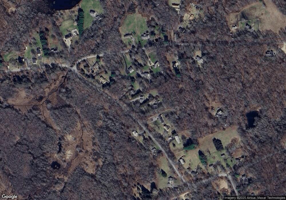
Map
Nearby Homes
- 286 Middletown Rd
- 54 Bulkeley Hill Rd
- 0 Prospect Hill Rd
- 3 Taylor Rd
- 6 Taylor Rd
- 7 Taylor Rd
- 10 Taylor Rd
- 9 Taylor Rd
- 17 Harvest Ln
- 216 Elliot Dr
- 28 Hickory Rd
- 168 Park Ave
- 87 Standish Rd
- 63 Taylor Rd
- "0" Middletown Rd
- 74 Pinebrook Rd
- 16 Doctor Foote Rd
- 39 Jaffee Terrace
- 35 Brookstone Dr
- Lot #2 Taylor Rd