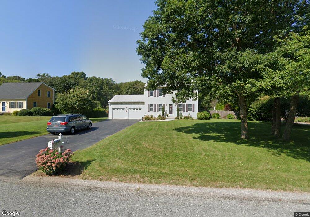
62 Erin Dr Wakefield, RI 02879
Estimated Value: $637,961 - $774,000
3
Beds
2
Baths
1,664
Sq Ft
$413/Sq Ft
Est. Value
About This Home
This home is located at 62 Erin Dr, Wakefield, RI 02879 and is currently estimated at $687,740, approximately $413 per square foot. 62 Erin Dr is a home located in Washington County with nearby schools including South Kingstown High School, Kingston Hill Academy, and Monsignor Matthew Clarke Catholic Regional School.
Ownership History
Date
Name
Owned For
Owner Type
Purchase Details
Closed on
Apr 15, 2005
Sold by
San-Antonio Scott W and San-Antonio Michelle A
Bought by
Grimes John W and Grimes Patricia A
Current Estimated Value
Purchase Details
Closed on
Nov 20, 2001
Sold by
Rochford John G and Rochford Susan L
Bought by
San Antonio Scott W and San Antonio Michelle A
Purchase Details
Closed on
Oct 28, 1999
Sold by
Property Shop Inc
Bought by
Rochford John G
Create a Home Valuation Report for This Property
The Home Valuation Report is an in-depth analysis detailing your home's value as well as a comparison with similar homes in the area
Home Values in the Area
Average Home Value in this Area
Purchase History
| Date | Buyer | Sale Price | Title Company |
|---|---|---|---|
| Grimes John W | $400,000 | -- | |
| San Antonio Scott W | $248,000 | -- | |
| Rochford John G | $159,000 | -- |
Source: Public Records
Mortgage History
| Date | Status | Borrower | Loan Amount |
|---|---|---|---|
| Open | Rochford John G | $15,000 | |
| Closed | Rochford John G | $166,500 | |
| Closed | Rochford John G | $15,000 |
Source: Public Records
Tax History Compared to Growth
Tax History
| Year | Tax Paid | Tax Assessment Tax Assessment Total Assessment is a certain percentage of the fair market value that is determined by local assessors to be the total taxable value of land and additions on the property. | Land | Improvement |
|---|---|---|---|---|
| 2025 | $4,559 | $510,000 | $176,200 | $333,800 |
| 2024 | $4,626 | $418,600 | $135,500 | $283,100 |
| 2023 | $4,626 | $418,600 | $135,500 | $283,100 |
| 2022 | $4,584 | $418,600 | $135,500 | $283,100 |
| 2021 | $4,753 | $328,900 | $117,800 | $211,100 |
| 2020 | $4,753 | $328,900 | $117,800 | $211,100 |
| 2019 | $4,753 | $328,900 | $117,800 | $211,100 |
| 2018 | $4,674 | $298,100 | $109,600 | $188,500 |
| 2017 | $4,564 | $298,100 | $109,600 | $188,500 |
| 2016 | $4,498 | $298,100 | $109,600 | $188,500 |
| 2015 | $4,226 | $272,300 | $107,200 | $165,100 |
| 2014 | $4,215 | $272,300 | $107,200 | $165,100 |
Source: Public Records
Map
Nearby Homes
- 294 Rose Hill Rd
- 95 S Woods Dr
- 229 Saugatucket Rd
- 0 Indian Trail Trail S Unit 1389828
- 918 Saugatucket Rd
- 957 Saugatucket Rd
- 1081 Mooresfield Rd
- 0 Johnny Cake Trail Trail S Unit 1391340
- 128 North Rd
- 1810 Kingstown Rd
- 53 Rocky Brook Way
- 14 Vespia Ln Unit B
- 70 Broad Rock Rd
- 0 Vespia Dr Unit 1317499
- 42 Vespia Ln
- 50 Vespia Ln
- 3 Larkin St
- 54 Vespia Ln
- 58 Vespia Ln
- 40 Amos St