62 Freetown Rd Unit 11 Raymond, NH 03077
Estimated Value: $295,000 - $457,000
2
Beds
2
Baths
1,296
Sq Ft
$274/Sq Ft
Est. Value
About This Home
This home is located at 62 Freetown Rd Unit 11, Raymond, NH 03077 and is currently estimated at $355,549, approximately $274 per square foot. 62 Freetown Rd Unit 11 is a home located in Rockingham County with nearby schools including Lamprey River Elementary School, Iber Holmes Gove Middle School, and Raymond High School.
Ownership History
Date
Name
Owned For
Owner Type
Purchase Details
Closed on
Mar 29, 2005
Sold by
Duford Michael D and Duford Lisa Ann
Bought by
Nersesian Ian A and Nersesian Courtnie E
Current Estimated Value
Home Financials for this Owner
Home Financials are based on the most recent Mortgage that was taken out on this home.
Original Mortgage
$182,000
Interest Rate
5.56%
Create a Home Valuation Report for This Property
The Home Valuation Report is an in-depth analysis detailing your home's value as well as a comparison with similar homes in the area
Home Values in the Area
Average Home Value in this Area
Purchase History
| Date | Buyer | Sale Price | Title Company |
|---|---|---|---|
| Nersesian Ian A | $182,300 | -- |
Source: Public Records
Mortgage History
| Date | Status | Borrower | Loan Amount |
|---|---|---|---|
| Open | Nersesian Ian A | $145,433 | |
| Closed | Nersesian Ian A | $28,500 | |
| Closed | Nersesian Ian A | $182,000 |
Source: Public Records
Tax History Compared to Growth
Tax History
| Year | Tax Paid | Tax Assessment Tax Assessment Total Assessment is a certain percentage of the fair market value that is determined by local assessors to be the total taxable value of land and additions on the property. | Land | Improvement |
|---|---|---|---|---|
| 2024 | $4,520 | $206,300 | $0 | $206,300 |
| 2023 | $4,275 | $206,300 | $0 | $206,300 |
| 2022 | $3,773 | $206,300 | $0 | $206,300 |
| 2021 | $3,819 | $206,300 | $0 | $206,300 |
| 2020 | $4,218 | $161,000 | $0 | $161,000 |
| 2019 | $4,281 | $161,000 | $0 | $161,000 |
| 2018 | $4,242 | $161,000 | $0 | $161,000 |
| 2017 | $3,896 | $161,000 | $0 | $161,000 |
| 2016 | $3,822 | $161,000 | $0 | $161,000 |
| 2015 | $3,526 | $140,600 | $0 | $140,600 |
| 2014 | $3,421 | $140,600 | $0 | $140,600 |
| 2013 | $3,324 | $140,600 | $0 | $140,600 |
Source: Public Records
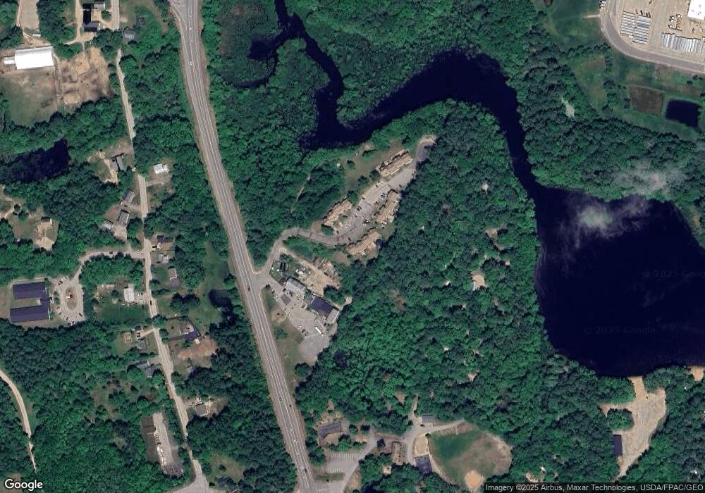
Map
Nearby Homes
- 17 Lilac Ct
- 18 Lilac Ct
- 39 Prescott Rd
- 91 Fremont Rd
- 6 Pulaski Dr
- 14 Mica Dr Unit 3
- 10 Mica Dr Unit 1
- 16 Mica Dr Unit 4
- 20 Mica Dr Unit 6
- 11 Evelyn Ave
- 3 Autumn Ln
- 7 Moulton St
- 13 Autumn Ln
- 13 Debra Ave
- 4 Coolidge Way
- 20 Locksley Ln
- 18 Nottingham Rd
- 0 Eastside Dr Unit 33
- 12 Tarah Way
- 209 New Hampshire 27
- 62 Freetown Rd Unit 23
- 62 Freetown Rd Unit 23
- 62 Freetown Rd Unit 16
- 62 Freetown Rd Unit 15
- 62 Freetown Rd Unit 14
- 62 Freetown Rd Unit 13
- 62 Freetown Rd Unit 12
- 62 Freetown Rd Unit 10
- 62 Freetown Rd Unit 9
- 62 Freetown Rd Unit 17
- 62 Freetown Rd Unit 18
- 62 Freetown Rd Unit 19
- 62 Freetown Rd Unit 20
- 62 Freetown Rd Unit 21
- 62 Freetown Rd Unit 22
- 62 Freetown Rd Unit 23
- 62 Freetown Rd Unit 24
- 62 Freetown Rd Unit 25
- 62 Freetown Rd Unit 26
- 62 Freetown Rd Unit 27