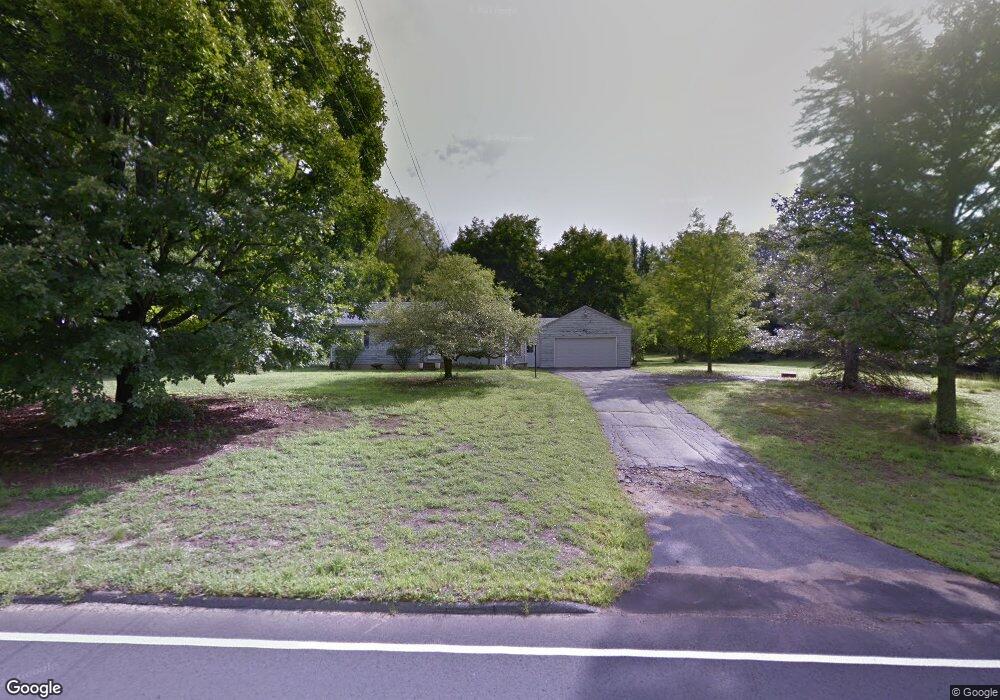
62 Higgins Hwy Mansfield Center, CT 06250
Estimated Value: $266,000 - $315,351
3
Beds
1
Bath
960
Sq Ft
$302/Sq Ft
Est. Value
About This Home
This home is located at 62 Higgins Hwy, Mansfield Center, CT 06250 and is currently estimated at $289,838, approximately $301 per square foot. 62 Higgins Hwy is a home located in Tolland County with nearby schools including Annie E. Vinton School, Mansfield Elementary School, and E.O. Smith High School.
Ownership History
Date
Name
Owned For
Owner Type
Purchase Details
Closed on
Nov 4, 1988
Sold by
Woodworth Earl
Bought by
Woodworth Earl
Current Estimated Value
Home Financials for this Owner
Home Financials are based on the most recent Mortgage that was taken out on this home.
Original Mortgage
$103,000
Interest Rate
10.33%
Mortgage Type
Purchase Money Mortgage
Create a Home Valuation Report for This Property
The Home Valuation Report is an in-depth analysis detailing your home's value as well as a comparison with similar homes in the area
Home Values in the Area
Average Home Value in this Area
Purchase History
| Date | Buyer | Sale Price | Title Company |
|---|---|---|---|
| Woodworth Earl | $103,000 | -- |
Source: Public Records
Mortgage History
| Date | Status | Borrower | Loan Amount |
|---|---|---|---|
| Open | Woodworth Earl | $101,000 | |
| Closed | Woodworth Earl | $103,000 |
Source: Public Records
Tax History Compared to Growth
Tax History
| Year | Tax Paid | Tax Assessment Tax Assessment Total Assessment is a certain percentage of the fair market value that is determined by local assessors to be the total taxable value of land and additions on the property. | Land | Improvement |
|---|---|---|---|---|
| 2025 | $4,036 | $201,800 | $51,700 | $150,100 |
| 2024 | $3,922 | $128,500 | $48,600 | $79,900 |
| 2023 | $4,050 | $128,500 | $48,600 | $79,900 |
| 2022 | $3,904 | $128,500 | $48,600 | $79,900 |
| 2021 | $4,032 | $128,500 | $48,600 | $79,900 |
| 2020 | $4,032 | $128,500 | $48,600 | $79,900 |
| 2019 | $4,061 | $129,400 | $51,100 | $78,300 |
| 2018 | $3,996 | $129,400 | $51,100 | $78,300 |
| 2017 | $3,964 | $129,400 | $51,100 | $78,300 |
| 2016 | $3,865 | $129,400 | $51,100 | $78,300 |
| 2015 | $3,865 | $129,400 | $51,100 | $78,300 |
| 2014 | $3,680 | $131,670 | $51,730 | $79,940 |
Source: Public Records
Map
Nearby Homes
- 58 Candide Ln
- 106 S Street Extension
- 103 S Street Extension
- 0 Oak Dr Unit LOT 33
- 457 Stafford Rd
- 0 South St Unit 24134981
- 0 Sheffield Dr
- 00 Sheffield Dr
- 35 Wyllys Farm Rd
- 29 Wyllys Farm Rd
- 30 Wyllys Farm Rd
- 0 Mansfield City Rd Unit LOT 2
- 37 Wyllys Farm Rd
- 43 Wyllys Farm Rd
- 31 Wyllys Farm Rd
- 12 White Oak Rd Unit 12A
- 26 Edgarton Rd
- 14 Edgarton Rd
- 259 High St
- 29 Kathleen Dr Unit 5E
- 58 Higgins Hwy
- 53 Higgins Hwy
- 70 Higgins Hwy
- 74 Higgins Hwy
- 44 Higgins Hwy
- 289 Stafford Rd
- 80 Higgins Hwy
- 281 Stafford Rd
- 301 Stafford Rd
- 269 Stafford Rd
- 297 Stafford (Rte 32 ) Rd Unit 2
- 37 Higgins Hwy
- 309 Stafford Rd
- 32 Higgins Hwy
- 305 Stafford Rd
- 31 Higgins Hwy
- 396 Stearns Rd
- 266 Stafford Rd
- 393 Stearns Rd
- 26 Higgins Hwy