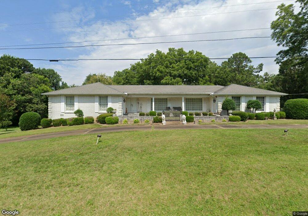
62 High St Gadsden, TN 38337
Estimated Value: $238,000 - $375,000
--
Bed
4
Baths
2,412
Sq Ft
$130/Sq Ft
Est. Value
About This Home
This home is located at 62 High St, Gadsden, TN 38337 and is currently estimated at $313,419, approximately $129 per square foot. 62 High St is a home located in Crockett County with nearby schools including Crockett County High School.
Ownership History
Date
Name
Owned For
Owner Type
Purchase Details
Closed on
Mar 22, 2017
Sold by
Smith Tommy A
Bought by
Foust Marsha J & Leslie E Newman Co Trutees O
Current Estimated Value
Purchase Details
Closed on
Oct 23, 2006
Sold by
Antwine J L
Bought by
Smith Tommy A
Purchase Details
Closed on
Mar 17, 1943
Bought by
Antwine Jessie Lee
Purchase Details
Closed on
Jan 2, 1900
Create a Home Valuation Report for This Property
The Home Valuation Report is an in-depth analysis detailing your home's value as well as a comparison with similar homes in the area
Home Values in the Area
Average Home Value in this Area
Purchase History
| Date | Buyer | Sale Price | Title Company |
|---|---|---|---|
| Foust Marsha J & Leslie E Newman Co Trutees O | -- | -- | |
| Foust Marsha Jane | -- | -- | |
| Smith Tommy A | $135,000 | -- | |
| Smith Tommy A | $16,000 | -- | |
| Antwine Jessie Lee | -- | -- | |
| -- | -- | -- |
Source: Public Records
Tax History Compared to Growth
Tax History
| Year | Tax Paid | Tax Assessment Tax Assessment Total Assessment is a certain percentage of the fair market value that is determined by local assessors to be the total taxable value of land and additions on the property. | Land | Improvement |
|---|---|---|---|---|
| 2025 | $1,428 | $91,900 | $0 | $0 |
| 2024 | $1,428 | $62,900 | $2,775 | $60,125 |
| 2023 | $1,399 | $62,900 | $2,775 | $60,125 |
| 2022 | $1,428 | $62,900 | $2,775 | $60,125 |
| 2021 | $1,068 | $40,450 | $2,250 | $38,200 |
| 2020 | $1,047 | $40,450 | $2,250 | $38,200 |
| 2019 | $1,058 | $40,075 | $2,250 | $37,825 |
| 2018 | $1,058 | $40,075 | $2,250 | $37,825 |
| 2017 | $1,058 | $40,075 | $2,250 | $37,825 |
| 2016 | $1,058 | $40,075 | $2,250 | $37,825 |
| 2015 | $1,113 | $40,075 | $2,250 | $37,825 |
| 2014 | $1,113 | $42,165 | $0 | $0 |
Source: Public Records
Map
Nearby Homes
- 127 Franklin St
- 00 Lot#1 Humboldt Lake Rd
- 00 Lot#4 Humboldt Lake Rd
- 133 Mason St
- 136 Mason Grove Rd
- 21679 U S 79
- 00 Plomar Williams Rd
- 0 Plomar Williams Rd
- 397 Aubrey Fergerson Rd
- 0 Aubrey Fergerson Rd
- 297 Marlow Cemetery Rd
- 159 Lipford Ln
- 0 Clarence Norfleet Rd
- 00 Highway 45 W
- 120 Westwood Cove
- 116 Mccoy Rd
- 580 Westside Dr
- 0 MacLin St Unit 224868
- 76 Etheridge St Unit R
- 73 Etheridge St