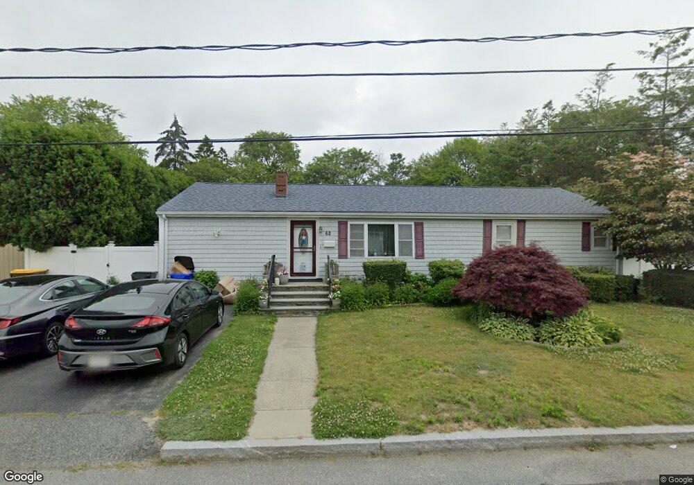
62 Hiram St Fall River, MA 02720
Bank Street NeighborhoodEstimated Value: $441,000 - $515,000
3
Beds
2
Baths
1,392
Sq Ft
$338/Sq Ft
Est. Value
About This Home
This home is located at 62 Hiram St, Fall River, MA 02720 and is currently estimated at $469,994, approximately $337 per square foot. 62 Hiram St is a home located in Bristol County with nearby schools including Spencer Borden Elementary School, Morton Middle School, and B M C Durfee High School.
Ownership History
Date
Name
Owned For
Owner Type
Purchase Details
Closed on
Sep 30, 1997
Sold by
Duarte Michael J and Duarte Debra A
Bought by
Caine John F and Caine Cynthia L
Current Estimated Value
Home Financials for this Owner
Home Financials are based on the most recent Mortgage that was taken out on this home.
Original Mortgage
$100,000
Interest Rate
7.47%
Mortgage Type
Purchase Money Mortgage
Create a Home Valuation Report for This Property
The Home Valuation Report is an in-depth analysis detailing your home's value as well as a comparison with similar homes in the area
Home Values in the Area
Average Home Value in this Area
Purchase History
| Date | Buyer | Sale Price | Title Company |
|---|---|---|---|
| Caine John F | $140,000 | -- |
Source: Public Records
Mortgage History
| Date | Status | Borrower | Loan Amount |
|---|---|---|---|
| Open | Caine John F | $130,000 | |
| Closed | Caine John F | $100,000 | |
| Closed | Caine John F | $100,000 | |
| Previous Owner | Caine John F | $65,500 |
Source: Public Records
Tax History
| Year | Tax Paid | Tax Assessment Tax Assessment Total Assessment is a certain percentage of the fair market value that is determined by local assessors to be the total taxable value of land and additions on the property. | Land | Improvement |
|---|---|---|---|---|
| 2025 | $4,196 | $366,500 | $142,700 | $223,800 |
| 2024 | $3,933 | $342,300 | $137,200 | $205,100 |
| 2023 | $3,876 | $315,900 | $123,200 | $192,700 |
| 2022 | $3,419 | $270,900 | $114,000 | $156,900 |
| 2021 | $3,442 | $248,900 | $107,700 | $141,200 |
| 2020 | $3,325 | $230,100 | $103,700 | $126,400 |
| 2019 | $3,228 | $221,400 | $103,700 | $117,700 |
| 2018 | $3,123 | $213,600 | $103,700 | $109,900 |
| 2017 | $2,964 | $211,700 | $103,700 | $108,000 |
| 2016 | $2,812 | $206,300 | $103,700 | $102,600 |
| 2015 | $2,604 | $199,100 | $97,000 | $102,100 |
| 2014 | $2,505 | $199,100 | $97,000 | $102,100 |
Source: Public Records
Map
Nearby Homes
- 46 Hiram St
- 436 Freelove St
- 63 Hiram St
- 26 Hiram St
- 460 Freelove St
- 79 Hiram St
- 785 N Eastern Ave
- 135 Celia St
- 424 Freelove St
- 130 Celia St
- 480 Freelove St
- 84 Crestwood St
- 7 Dublin St
- 55 Crestwood St
- 449 Freelove St
- 417 Freelove St
- 74 Crestwood St
- 807 N Eastern Ave
- 807 N Eastern Ave Unit 1
- 463 Freelove St
Your Personal Tour Guide
Ask me questions while you tour the home.