62 Laurie Ln Hanover, MA 02339
Estimated Value: $750,000 - $927,000
4
Beds
2
Baths
1,948
Sq Ft
$418/Sq Ft
Est. Value
About This Home
This home is located at 62 Laurie Ln, Hanover, MA 02339 and is currently estimated at $815,169, approximately $418 per square foot. 62 Laurie Ln is a home located in Plymouth County with nearby schools including Hanover High School, Cadence Academy Preschool - Hanover, and Cardinal Cushing Centers.
Ownership History
Date
Name
Owned For
Owner Type
Purchase Details
Closed on
May 17, 2019
Sold by
Poole 2017 Ft
Bought by
Nord Deborah and Nord Karl
Current Estimated Value
Home Financials for this Owner
Home Financials are based on the most recent Mortgage that was taken out on this home.
Original Mortgage
$489,600
Outstanding Balance
$428,700
Interest Rate
4%
Mortgage Type
New Conventional
Estimated Equity
$386,469
Purchase Details
Closed on
Jan 23, 2017
Sold by
Poole Stephen J and Poole Jean M
Bought by
Poole 2017 Ft
Purchase Details
Closed on
Nov 30, 1990
Sold by
Byron James W
Bought by
Poole Stephen J
Create a Home Valuation Report for This Property
The Home Valuation Report is an in-depth analysis detailing your home's value as well as a comparison with similar homes in the area
Home Values in the Area
Average Home Value in this Area
Purchase History
| Date | Buyer | Sale Price | Title Company |
|---|---|---|---|
| Nord Deborah | $544,000 | -- | |
| Poole 2017 Ft | -- | -- | |
| Poole Stephen J | $205,000 | -- |
Source: Public Records
Mortgage History
| Date | Status | Borrower | Loan Amount |
|---|---|---|---|
| Open | Nord Deborah | $489,600 | |
| Previous Owner | Poole Stephen J | $75,000 | |
| Previous Owner | Poole Stephen J | $75,000 |
Source: Public Records
Tax History Compared to Growth
Tax History
| Year | Tax Paid | Tax Assessment Tax Assessment Total Assessment is a certain percentage of the fair market value that is determined by local assessors to be the total taxable value of land and additions on the property. | Land | Improvement |
|---|---|---|---|---|
| 2025 | $9,008 | $729,400 | $323,300 | $406,100 |
| 2024 | $8,854 | $689,600 | $323,300 | $366,300 |
| 2023 | $8,286 | $614,200 | $293,900 | $320,300 |
| 2022 | $8,044 | $527,500 | $244,900 | $282,600 |
| 2021 | $7,945 | $486,500 | $222,600 | $263,900 |
| 2020 | $7,741 | $474,600 | $222,600 | $252,000 |
| 2019 | $7,516 | $458,000 | $222,600 | $235,400 |
| 2018 | $7,069 | $434,200 | $222,600 | $211,600 |
| 2017 | $7,232 | $437,800 | $230,400 | $207,400 |
| 2016 | $6,950 | $412,200 | $209,500 | $202,700 |
| 2015 | $6,965 | $431,300 | $228,600 | $202,700 |
Source: Public Records
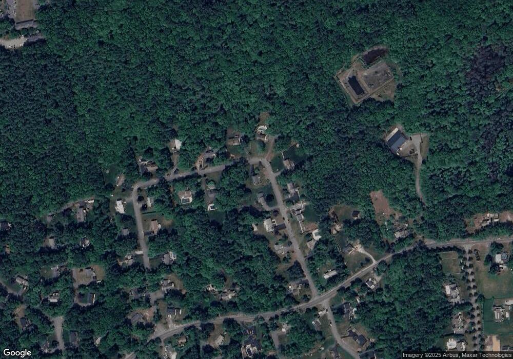
Map
Nearby Homes
- 186 Elm St
- 180 Elm St
- 114 Graham Hill Dr
- 14 Longwood Ln Unit 14
- 250 Center St
- 51 Cervelli Farm Dr
- 37 Dr
- 23 Cervelli Farm Dr
- 38 Cervelli Farm Dr
- 9 Cervelli Farm Dr
- 265 Silver St
- 436 Center St
- 7 Farmside Dr
- 28 Old Shipyard Ln
- 20 Meadow Brook Rd
- Lot 22 Adams Cir
- 553 Center St
- 62 Larchmont Ln
- 1251 Broadway
- 41 Gail Rd