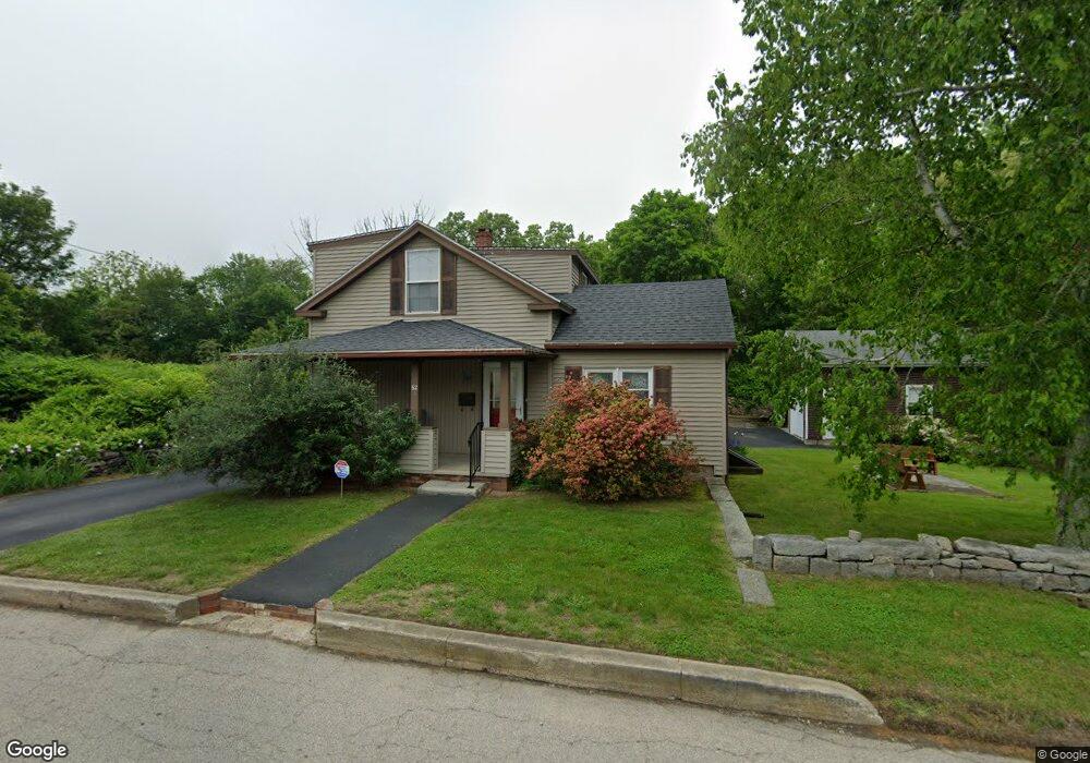
62 Ledward Ave Westerly, RI 02891
Estimated Value: $494,513 - $540,000
4
Beds
2
Baths
1,576
Sq Ft
$335/Sq Ft
Est. Value
About This Home
This home is located at 62 Ledward Ave, Westerly, RI 02891 and is currently estimated at $527,628, approximately $334 per square foot. 62 Ledward Ave is a home located in Washington County with nearby schools including Westerly High School and St. Michael School.
Ownership History
Date
Name
Owned For
Owner Type
Purchase Details
Closed on
Jun 17, 2021
Sold by
Couture Lela C
Bought by
Lela C Couture Irt
Current Estimated Value
Purchase Details
Closed on
Dec 13, 2019
Sold by
Couture Ralph L and Couture Lela C
Bought by
Couture Lela C
Purchase Details
Closed on
Nov 18, 2019
Sold by
Helterline Michele and Krupinski Genay
Bought by
Couture Ralph L and Couture Lela C
Purchase Details
Closed on
Oct 17, 2016
Sold by
Couture Ralph L and Couture Lela C
Bought by
Krupinski Genay
Purchase Details
Closed on
Aug 10, 1971
Bought by
Couture Ralph L
Create a Home Valuation Report for This Property
The Home Valuation Report is an in-depth analysis detailing your home's value as well as a comparison with similar homes in the area
Home Values in the Area
Average Home Value in this Area
Purchase History
| Date | Buyer | Sale Price | Title Company |
|---|---|---|---|
| Lela C Couture Irt | -- | None Available | |
| Couture Lela C | -- | None Available | |
| Couture Ralph L | -- | -- | |
| Krupinski Genay | -- | -- | |
| Couture Ralph L | -- | -- |
Source: Public Records
Tax History
| Year | Tax Paid | Tax Assessment Tax Assessment Total Assessment is a certain percentage of the fair market value that is determined by local assessors to be the total taxable value of land and additions on the property. | Land | Improvement |
|---|---|---|---|---|
| 2025 | $3,079 | $433,000 | $231,100 | $201,900 |
| 2024 | $3,113 | $317,300 | $190,200 | $127,100 |
| 2023 | $3,052 | $317,300 | $190,200 | $127,100 |
| 2022 | $3,033 | $317,300 | $190,200 | $127,100 |
| 2021 | $3,117 | $270,600 | $172,200 | $98,400 |
| 2020 | $3,060 | $270,600 | $172,200 | $98,400 |
| 2019 | $3,031 | $270,600 | $172,200 | $98,400 |
| 2018 | $3,079 | $259,200 | $172,200 | $87,000 |
| 2017 | $3,004 | $259,200 | $172,200 | $87,000 |
| 2016 | $3,027 | $259,200 | $172,200 | $87,000 |
| 2015 | $2,877 | $265,900 | $173,900 | $92,000 |
| 2014 | $2,470 | $265,900 | $173,900 | $92,000 |
Source: Public Records
Map
Nearby Homes
- 12 Apache Dr Unit A
- 17 Apache Dr Unit G
- 19 Apache Dr Unit F
- 19 Apache Dr Unit 19C
- 52 Bellevue Ave
- 0 Iroquois Ave
- 2 Marichris Dr
- 14 George St
- 16 Spring St
- 12 Batterson Ave
- 25 School St Unit 2
- 5 Marion St
- 7 Dixon St
- 21 North Dr
- 17 West St Unit 3
- 33 Whipple Ave
- 19 Crestview Dr Unit C
- 55 Pleasant St
- 199 High St
- 38 Prospect St Unit B
Your Personal Tour Guide
Ask me questions while you tour the home.