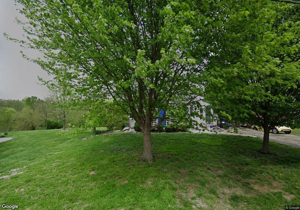
62 Mccullum Pike Independence, KY 41051
Estimated Value: $227,000 - $264,000
3
Beds
2
Baths
1,437
Sq Ft
$170/Sq Ft
Est. Value
About This Home
This home is located at 62 Mccullum Pike, Independence, KY 41051 and is currently estimated at $244,640, approximately $170 per square foot. 62 Mccullum Pike is a home located in Kenton County with nearby schools including White's Tower Elementary School, Twenhofel Middle School, and Simon Kenton High School.
Ownership History
Date
Name
Owned For
Owner Type
Purchase Details
Closed on
Jul 17, 2015
Sold by
Cornett John and Cornett Dana
Bought by
Solan Kari
Current Estimated Value
Home Financials for this Owner
Home Financials are based on the most recent Mortgage that was taken out on this home.
Original Mortgage
$113,418
Outstanding Balance
$89,202
Interest Rate
4.11%
Mortgage Type
New Conventional
Estimated Equity
$155,438
Purchase Details
Closed on
Oct 8, 2010
Sold by
Cornett John
Bought by
Cornett John and Williams Steve L
Home Financials for this Owner
Home Financials are based on the most recent Mortgage that was taken out on this home.
Original Mortgage
$98,618
Interest Rate
4.3%
Mortgage Type
New Conventional
Purchase Details
Closed on
Dec 11, 2009
Sold by
Nationstar Mortgage Llc
Bought by
Cornett John
Purchase Details
Closed on
Sep 28, 2009
Sold by
Howard Jeanne A
Bought by
Nationstar Mortgage Llc
Create a Home Valuation Report for This Property
The Home Valuation Report is an in-depth analysis detailing your home's value as well as a comparison with similar homes in the area
Home Values in the Area
Average Home Value in this Area
Purchase History
| Date | Buyer | Sale Price | Title Company |
|---|---|---|---|
| Solan Kari | $117,000 | 360 American Title Svcs Llc | |
| Cornett John | -- | None Available | |
| Cornett John | $50,000 | None Available | |
| Nationstar Mortgage Llc | $110,289 | None Available |
Source: Public Records
Mortgage History
| Date | Status | Borrower | Loan Amount |
|---|---|---|---|
| Open | Solan Kari | $113,418 | |
| Previous Owner | Cornett John | $98,618 |
Source: Public Records
Tax History
| Year | Tax Paid | Tax Assessment Tax Assessment Total Assessment is a certain percentage of the fair market value that is determined by local assessors to be the total taxable value of land and additions on the property. | Land | Improvement |
|---|---|---|---|---|
| 2025 | $1,965 | $169,000 | $25,000 | $144,000 |
| 2024 | $1,683 | $137,400 | $20,000 | $117,400 |
| 2023 | $1,734 | $137,400 | $20,000 | $117,400 |
| 2022 | $1,799 | $137,400 | $20,000 | $117,400 |
| 2021 | $1,825 | $137,400 | $20,000 | $117,400 |
| 2020 | $1,597 | $117,000 | $20,000 | $97,000 |
| 2019 | $1,601 | $117,000 | $20,000 | $97,000 |
| 2018 | $1,610 | $117,000 | $20,000 | $97,000 |
| 2017 | $1,567 | $117,000 | $20,000 | $97,000 |
| 2015 | $1,305 | $100,000 | $20,000 | $80,000 |
| 2014 | $1,287 | $100,000 | $20,000 | $80,000 |
Source: Public Records
Map
Nearby Homes
- 2144 Hartland Blvd
- 2033 Flintwood Ct
- 2037 Patriot Way
- 6500 Julia Meadow
- 4448 Oliver Rd
- 64 Sherwood Dr
- 10737 Cypresswood Dr
- 4386 Alleen Ct
- 6681 Tullamore Ln Unit Lot 3
- 810 Durrow Dr Unit Lot 14
- 10434 Sharpsburg Dr
- 6703 Tullamore Ln Unit Lot 7
- 5510 Fowler Creek Rd
- 772 Durrow Dr Unit Lot 26
- 6519 Meadow Creek Dr
- 6680 Frontier Rd
- 1247 Monocacy Ct
- 798 Cox Rd
- 93 Roselawn Dr
- 1365 Cairns Ct
- 58 Mccullum Pike
- 66 Mccullum Pike
- 54 Mccullum Pike
- 50 Mccullum Rd
- 57 Mccullum Rd
- 72 Mccullum Pike
- 69 Mccullum Pike
- 33 Mccullum Rd
- 53 Mccullum Rd
- 48 Mccullum Pike
- 76 Mccullum Pike
- 47 Mccullum Rd
- 80 Mccullum Rd
- 40 Mccullum Pike
- 43 Mccullum Rd
- 38 Mccullum Rd
- 100 Mccullum Pike
- 36 Mccullum Pike
- 99 Mccullum Rd
- 35 Mccullum Rd
Your Personal Tour Guide
Ask me questions while you tour the home.