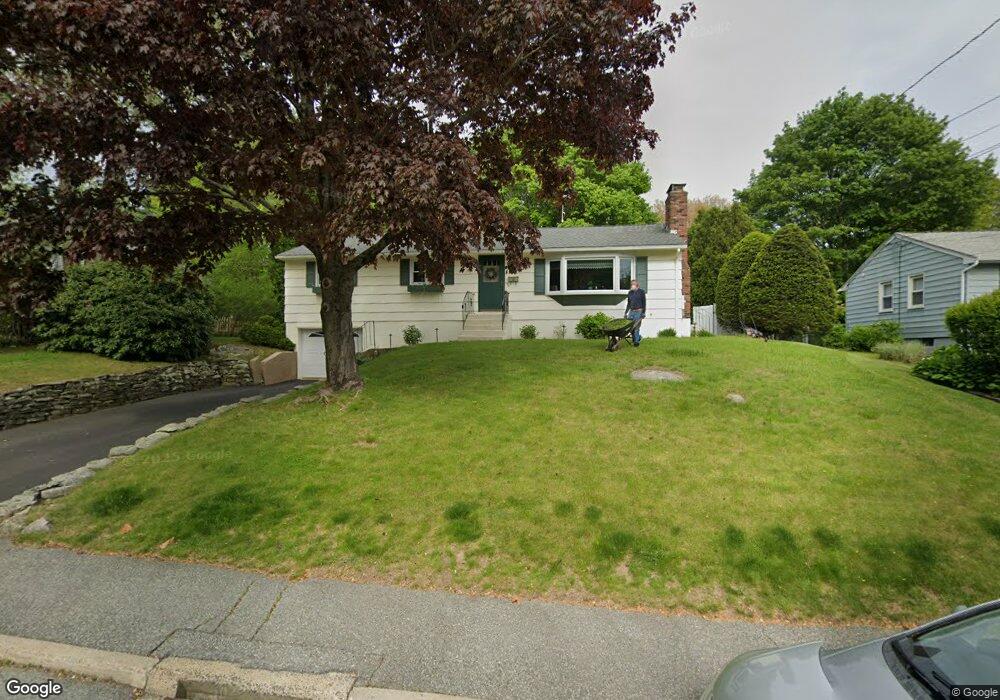
62 Noank Ledyard Rd Mystic, CT 06355
West Mystic NeighborhoodEstimated Value: $393,000 - $487,000
3
Beds
2
Baths
1,200
Sq Ft
$365/Sq Ft
Est. Value
About This Home
This home is located at 62 Noank Ledyard Rd, Mystic, CT 06355 and is currently estimated at $438,332, approximately $365 per square foot. 62 Noank Ledyard Rd is a home located in New London County with nearby schools including Northeast Academy Arts Magnet School, Groton Middle School, and Robert E. Fitch High School.
Ownership History
Date
Name
Owned For
Owner Type
Purchase Details
Closed on
Jun 25, 1992
Sold by
Hagen John
Bought by
Fink Harold and Fink Anita
Current Estimated Value
Create a Home Valuation Report for This Property
The Home Valuation Report is an in-depth analysis detailing your home's value as well as a comparison with similar homes in the area
Home Values in the Area
Average Home Value in this Area
Purchase History
| Date | Buyer | Sale Price | Title Company |
|---|---|---|---|
| Fink Harold | $105,000 | -- |
Source: Public Records
Mortgage History
| Date | Status | Borrower | Loan Amount |
|---|---|---|---|
| Closed | Fink Harold | $75,000 | |
| Closed | Fink Harold | $10,000 | |
| Closed | Fink Harold | $80,400 | |
| Closed | Fink Harold | $83,000 |
Source: Public Records
Tax History Compared to Growth
Tax History
| Year | Tax Paid | Tax Assessment Tax Assessment Total Assessment is a certain percentage of the fair market value that is determined by local assessors to be the total taxable value of land and additions on the property. | Land | Improvement |
|---|---|---|---|---|
| 2025 | $4,643 | $170,590 | $81,753 | $88,837 |
| 2024 | $4,314 | $170,590 | $81,753 | $88,837 |
| 2023 | $4,146 | $170,590 | $43,680 | $126,910 |
| 2022 | $4,056 | $170,590 | $43,680 | $126,910 |
| 2021 | $3,504 | $124,390 | $45,990 | $78,400 |
| 2020 | $3,475 | $124,390 | $45,990 | $78,400 |
| 2019 | $3,325 | $124,390 | $45,990 | $78,400 |
| 2018 | $3,285 | $124,390 | $45,990 | $78,400 |
| 2017 | $3,224 | $124,390 | $45,990 | $78,400 |
| 2016 | $3,108 | $129,290 | $53,200 | $76,090 |
| 2015 | $3,005 | $129,290 | $53,200 | $76,090 |
| 2014 | $2,934 | $129,290 | $53,200 | $76,090 |
Source: Public Records
Map
Nearby Homes
- 80 Farmstead Ave
- 201 Daniel Brown Dr
- 255 Capstan Ave
- 518 Noank Ledyard Rd
- 190 Library St
- 375 Allyn St Unit 2
- 375 Allyn St Unit 4
- 40 Allyn St
- 147 Pequot Ave
- 450 Brook St
- 19 Ashby St
- 435 High St Unit 31
- 435 High St Unit 30
- 435 High St Unit 58
- 435 High St Unit 26
- 12 Donna Dr
- 17 Water St Unit A-10
- 17 Brookside Ln
- 3 Fort Hill Rd
- 3 Water St Unit 305
- 70 Noank Ledyard Rd
- 56 Noank Ledyard Rd
- 60 Daniel Brown Dr
- 78 Noank Ledyard Rd
- 52 Daniel Brown Dr
- 48 Noank Ledyard Rd
- 68 Daniel Brown Dr
- 67 Noank Ledyard Rd
- 42 Daniel Brown Dr
- 86 Noank Ledyard Rd
- 76 Daniel Brown Dr
- 40 Noank Ledyard Rd
- 26 Daniel Brown Dr
- 47 Noank Ledyard Rd
- 86 Daniel Brown Dr
- 92 Noank Ledyard Rd
- 37 Noank Ledyard Rd
- 11 Bel Aire Dr
- 26 Bel Aire Dr
- 11 Daniel Brown Dr