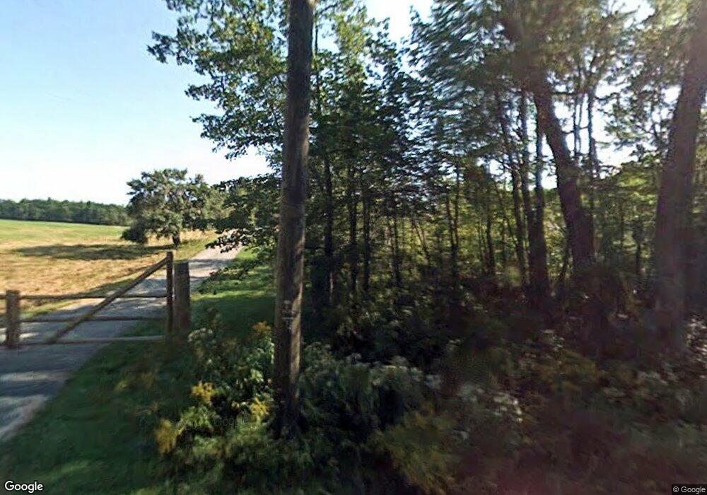
62 Perry Rd Strafford, NH 03884
Estimated Value: $563,181 - $693,000
4
Beds
3
Baths
2,577
Sq Ft
$250/Sq Ft
Est. Value
About This Home
This home is located at 62 Perry Rd, Strafford, NH 03884 and is currently estimated at $645,394, approximately $250 per square foot. 62 Perry Rd is a home located in Strafford County with nearby schools including Strafford School and Coe-Brown Northwood Academy.
Create a Home Valuation Report for This Property
The Home Valuation Report is an in-depth analysis detailing your home's value as well as a comparison with similar homes in the area
Home Values in the Area
Average Home Value in this Area
Tax History Compared to Growth
Tax History
| Year | Tax Paid | Tax Assessment Tax Assessment Total Assessment is a certain percentage of the fair market value that is determined by local assessors to be the total taxable value of land and additions on the property. | Land | Improvement |
|---|---|---|---|---|
| 2024 | $7,635 | $386,400 | $96,600 | $289,800 |
| 2023 | $7,202 | $386,400 | $96,600 | $289,800 |
| 2022 | $6,619 | $386,400 | $96,600 | $289,800 |
| 2021 | $7,829 | $424,100 | $96,600 | $327,500 |
| 2020 | $8,100 | $315,800 | $88,500 | $227,300 |
| 2019 | $7,412 | $315,800 | $88,500 | $227,300 |
| 2018 | $6,950 | $315,800 | $88,500 | $227,300 |
| 2016 | $6,711 | $315,800 | $88,500 | $227,300 |
| 2015 | $6,563 | $300,900 | $107,400 | $193,500 |
| 2014 | $6,969 | $300,900 | $107,400 | $193,500 |
| 2013 | $6,824 | $300,900 | $107,400 | $193,500 |
| 2012 | $6,734 | $300,900 | $107,400 | $193,500 |
Source: Public Records
Map
Nearby Homes
- 152 Evans Rd
- 1226 First Crown Point Rd
- 572 S Barnstead Rd
- 1760 Province Rd
- 260 New Rd
- 77 Holmes Rd
- 38 Chapelle Rd
- 0 Strafford Rd Unit 5057984
- L68-2 Vail Rd
- 825 Second Crown Point Rd
- L68-1 Vail Rd
- 109 Vail Rd
- 85 Province Rd
- 77 Vail Rd
- Rt 107 Unit Barnstead NH 03218
- 133 & 137 Browns Pasture Rd
- 25 Vail Rd
- 277 Shackford Corner Rd
- 11 Drake Hill Rd
- Map 102 Lot 9 Kramas Ln
- 72 Perry Rd
- 393 Parker Mountain Rd
- 401 Parker Mountain Rd
- 417 Parker Mountain Rd
- 120 Perry Rd
- 418 Parker Mountain Rd
- 1068 Parker Mountain Rd
- 12 Parker Mountain Rd
- 124 Perry Rd
- 432 Parker Mountain Rd
- 429 Parker Mountain Rd
- 138 Perry Rd
- 135 Perry Rd
- Map9Blk89 Parker Mountain Rd
- 452 Parker Mountain Rd
- 302 Parker Mountain Rd
- 155 Perry Rd
- 513 Parker Mountain Rd
- 66 Wingate Rd
- 92 Wingate Rd
