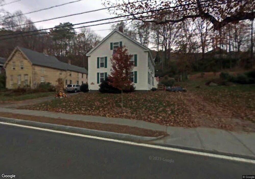
62 River St Conway, MA 01341
Estimated Value: $331,263 - $456,000
--
Bed
2
Baths
2,219
Sq Ft
$172/Sq Ft
Est. Value
About This Home
This home is located at 62 River St, Conway, MA 01341 and is currently estimated at $382,566, approximately $172 per square foot. 62 River St is a home located in Franklin County with nearby schools including Frontier Regional School.
Ownership History
Date
Name
Owned For
Owner Type
Purchase Details
Closed on
May 13, 2016
Sold by
Jouannet Bruce E and Jouannet Peter R
Bought by
Jouannet Bruce E and Jouannet Jeanne M
Current Estimated Value
Purchase Details
Closed on
Oct 26, 2005
Sold by
Recore Wallace J
Bought by
Jouannet Bruce Edward and Jouannet Peter R
Home Financials for this Owner
Home Financials are based on the most recent Mortgage that was taken out on this home.
Original Mortgage
$142,400
Interest Rate
5.79%
Mortgage Type
Purchase Money Mortgage
Create a Home Valuation Report for This Property
The Home Valuation Report is an in-depth analysis detailing your home's value as well as a comparison with similar homes in the area
Home Values in the Area
Average Home Value in this Area
Purchase History
We collect this data history from publicly available records. To have your information removed, we recommend requesting removal directly through your county’s website.
| Date | Buyer | Sale Price | Title Company |
|---|---|---|---|
| Jouannet Bruce E | -- | -- | |
| Jouannet Bruce Edward | $149,900 | -- |
Source: Public Records
Mortgage History
We collect this data history from publicly available records. To have your information removed, we recommend requesting removal directly through your county’s website.
| Date | Status | Borrower | Loan Amount |
|---|---|---|---|
| Previous Owner | Jouannet Bruce Edward | $142,400 |
Source: Public Records
Tax History
| Year | Tax Paid | Tax Assessment Tax Assessment Total Assessment is a certain percentage of the fair market value that is determined by local assessors to be the total taxable value of land and additions on the property. | Land | Improvement |
|---|---|---|---|---|
| 2025 | $4,332 | $300,000 | $73,900 | $226,100 |
| 2024 | $4,244 | $258,800 | $67,200 | $191,600 |
| 2023 | $4,438 | $258,800 | $67,200 | $191,600 |
| 2022 | $4,301 | $239,600 | $62,200 | $177,400 |
| 2021 | $4,237 | $226,200 | $59,400 | $166,800 |
| 2020 | $4,003 | $213,400 | $59,200 | $154,200 |
| 2019 | $3,980 | $213,400 | $59,200 | $154,200 |
| 2018 | $3,913 | $211,500 | $59,200 | $152,300 |
| 2017 | $3,754 | $211,500 | $59,200 | $152,300 |
| 2016 | $3,353 | $201,000 | $51,700 | $149,300 |
| 2015 | $3,250 | $201,000 | $51,700 | $149,300 |
Source: Public Records
Map
Nearby Homes
- 0 Maple St
- 87 Ashfield Rd
- 1230 Main Poland Rd
- 70 Stillwater Rd Unit B
- 6 Duncan Dr Unit B
- 2930 Shelburne Falls Rd
- 0 N Bear River Rd Unit 73485981
- 14 South St
- TBD Lower Rd
- 240 Upper Rd
- 271 Lower Rd
- 0 Greenfield Rd Unit 73472322
- 117 N Main St
- 14 Sugarloaf St
- 0 North St Unit 73407299
- 92 Masterson Rd
- 0 Sears Rd Unit 73373850
- 0 Pocumtuck Dr Unit 73379330
- 44 Aberdeen Rd
- 11 Bray Rd
- 70 River St
- 112 River St
- 78 River St
- 52 River St
- 86 River St
- 85 Upper Baptist Hill Rd
- 98 River St
- 79 Upper Baptist Hill Rd
- 96 Upper Baptist Hill Rd
- 0 Bond St Unit 30363024
- 101 River St
- 34 River St
- 106 Upper Baptist Hill Rd
- 21 River St
- 67 Upper Baptist Hill Rd
- Lot Z Shelburne Falls Rd
- 119 River St
- 11 River St
- 45 Upper Baptist Hill Rd
- 12 River St
Your Personal Tour Guide
Ask me questions while you tour the home.