62 Stillwater Dr Absarokee, MT 59001
Estimated Value: $626,000 - $800,000
4
Beds
3
Baths
3,900
Sq Ft
$179/Sq Ft
Est. Value
About This Home
This home is located at 62 Stillwater Dr, Absarokee, MT 59001 and is currently estimated at $699,494, approximately $179 per square foot. 62 Stillwater Dr is a home located in Stillwater County with nearby schools including Absarokee School, Absarokee Junior High School, and Absarokee High School.
Ownership History
Date
Name
Owned For
Owner Type
Purchase Details
Closed on
Mar 14, 2013
Sold by
Caldwell Gregory W and Hand Kathleen
Bought by
Eisenhooth David Glenn and Eisenhooth Jodi Lynn
Current Estimated Value
Home Financials for this Owner
Home Financials are based on the most recent Mortgage that was taken out on this home.
Original Mortgage
$249,000
Outstanding Balance
$146,610
Interest Rate
0.15%
Estimated Equity
$552,884
Purchase Details
Closed on
Nov 21, 2011
Sold by
Schmitz John A and Schmitz Jerrilyn K
Bought by
Caldwell Gregory W
Home Financials for this Owner
Home Financials are based on the most recent Mortgage that was taken out on this home.
Original Mortgage
$272,469
Interest Rate
3.87%
Create a Home Valuation Report for This Property
The Home Valuation Report is an in-depth analysis detailing your home's value as well as a comparison with similar homes in the area
Home Values in the Area
Average Home Value in this Area
Purchase History
| Date | Buyer | Sale Price | Title Company |
|---|---|---|---|
| Eisenhooth David Glenn | -- | -- | |
| Caldwell Gregory W | -- | -- |
Source: Public Records
Mortgage History
| Date | Status | Borrower | Loan Amount |
|---|---|---|---|
| Open | Eisenhooth David Glenn | $249,000 | |
| Previous Owner | Caldwell Gregory W | $272,469 |
Source: Public Records
Tax History Compared to Growth
Tax History
| Year | Tax Paid | Tax Assessment Tax Assessment Total Assessment is a certain percentage of the fair market value that is determined by local assessors to be the total taxable value of land and additions on the property. | Land | Improvement |
|---|---|---|---|---|
| 2025 | $2,519 | $663,800 | $0 | $0 |
| 2024 | $3,040 | $520,400 | $0 | $0 |
| 2023 | $3,004 | $520,400 | $0 | $0 |
| 2022 | $2,489 | $389,100 | $0 | $0 |
| 2021 | $2,308 | $389,100 | $0 | $0 |
| 2020 | $2,341 | $361,100 | $0 | $0 |
| 2019 | $2,383 | $361,100 | $0 | $0 |
| 2018 | $2,291 | $327,000 | $0 | $0 |
| 2017 | $2,404 | $327,000 | $0 | $0 |
| 2016 | $2,230 | $327,200 | $0 | $0 |
| 2015 | $2,037 | $327,200 | $0 | $0 |
| 2014 | $1,651 | $140,503 | $0 | $0 |
Source: Public Records
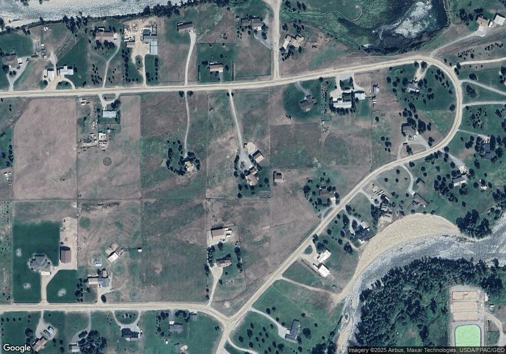
Map
Nearby Homes
- A Johnson Dr Unit A
- 10 S Woodard Ave
- 221 W School St
- 12 Avis St
- 2994 Highway 78
- 20 Crow Child Trail
- 2825 & 2830 Highway 78 S
- 47 Lower Hawk Valley Rd
- 91 Upper Hawk Valley Rd
- 37 Barham Rd
- 79 Meyers Rd
- 79 Myers Rd
- Lot 56 Hearts & Diamonds 2
- 564a Countryman Creek Rd
- TBD Brumfield RD Brumfield Rd
- 26 Yates Rd
- 27 Kestel Trail
- 26 O'Dare Dr
- LOT 215 Coyote Pass
- 51 Haystack Coulee Rd
- 58 Stillwater Dr
- 22 Rosebud Rd
- 27 Cottonwood Way
- 5 Rosebud Rd
- 61 Stillwater Dr
- 74 Stillwater Dr
- 21 Rosebud Rd
- #0 Cottonwood Drive Lot 43
- 19 Rosebud Rd
- 4 Park Dr
- 3 Park Dr
- 3 Park Dr
- 40 ACRES Rosebud Acres
- 37 Rosebud Rd
- 14 Rosebud Rd
- 57 Stillwater Dr
- 53 Stillwater Dr
- 7 Cottonwood Way
- 29 Rosebud Rd
- 83 Stillwater Dr