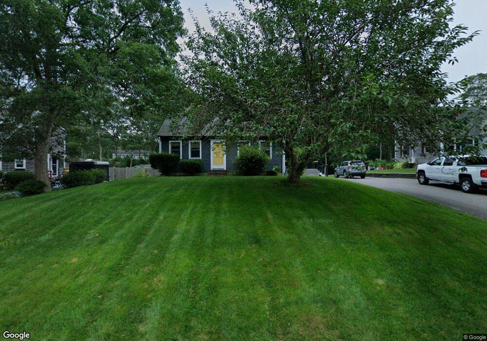
62 Thom Ave Buzzards Bay, MA 02532
Monument Beach NeighborhoodEstimated Value: $519,000 - $600,000
2
Beds
2
Baths
1,344
Sq Ft
$417/Sq Ft
Est. Value
About This Home
This home is located at 62 Thom Ave, Buzzards Bay, MA 02532 and is currently estimated at $560,439, approximately $416 per square foot. 62 Thom Ave is a home located in Barnstable County with nearby schools including Bourne High School, Cadence Academy Preschool - Bourne, and St Margaret Regional School.
Ownership History
Date
Name
Owned For
Owner Type
Purchase Details
Closed on
Jan 12, 2025
Sold by
Rodrick Richard E and Rodrick Christopher J
Bought by
Rodrick Ft and Rodrick
Current Estimated Value
Purchase Details
Closed on
Jan 29, 2021
Sold by
Rodrick Richard E
Bought by
Roderick Richard E and Rodrick Robert E
Create a Home Valuation Report for This Property
The Home Valuation Report is an in-depth analysis detailing your home's value as well as a comparison with similar homes in the area
Home Values in the Area
Average Home Value in this Area
Purchase History
| Date | Buyer | Sale Price | Title Company |
|---|---|---|---|
| Rodrick Ft | -- | None Available | |
| Rodrick Ft | -- | None Available | |
| Roderick Richard E | -- | None Available | |
| Roderick Richard E | -- | None Available |
Source: Public Records
Tax History
| Year | Tax Paid | Tax Assessment Tax Assessment Total Assessment is a certain percentage of the fair market value that is determined by local assessors to be the total taxable value of land and additions on the property. | Land | Improvement |
|---|---|---|---|---|
| 2025 | $3,439 | $440,300 | $191,900 | $248,400 |
| 2024 | $3,374 | $420,700 | $182,700 | $238,000 |
| 2023 | $3,287 | $373,100 | $161,700 | $211,400 |
| 2022 | $3,150 | $312,200 | $143,100 | $169,100 |
| 2021 | $3,049 | $283,100 | $130,200 | $152,900 |
| 2020 | $2,884 | $268,500 | $129,000 | $139,500 |
| 2019 | $2,745 | $261,200 | $129,000 | $132,200 |
| 2018 | $2,564 | $243,300 | $117,000 | $126,300 |
| 2017 | $2,481 | $240,900 | $115,900 | $125,000 |
| 2016 | $2,205 | $217,000 | $115,900 | $101,100 |
| 2015 | $2,185 | $217,000 | $115,900 | $101,100 |
Source: Public Records
Map
Nearby Homes
- 20 Colony Ave
- 5 Harbor Hill Dr
- 4 Harbor Hill Dr
- 16 Amberwood Ct
- 566 Shore Rd
- 203 County Rd
- 12 Turnberry Rd Unit 12
- 4 Hollyhock Knoll Ct Unit 4
- 4 Hollyhock Knoll Ct Unit 4
- 2 Applewood Ct
- 13 Laurel Hill Ct
- 5 Sea Knoll Ct
- 3 1st St
- 709 County Rd
- 5 Zoli Ln
- 3 4th Ave
- 7 4th Ave
- 14 Navajo Rd
- 254 Barlows Landing Rd
- 16 Michael Rd
Your Personal Tour Guide
Ask me questions while you tour the home.