62 Wallace Shore Rd Harpswell, ME 04079
Harpswell NeighborhoodEstimated Value: $788,000 - $1,247,030
3
Beds
2
Baths
1,900
Sq Ft
$542/Sq Ft
Est. Value
About This Home
This home is located at 62 Wallace Shore Rd, Harpswell, ME 04079 and is currently estimated at $1,030,508, approximately $542 per square foot. 62 Wallace Shore Rd is a home located in Cumberland County with nearby schools including Mt Ararat High School.
Create a Home Valuation Report for This Property
The Home Valuation Report is an in-depth analysis detailing your home's value as well as a comparison with similar homes in the area
Home Values in the Area
Average Home Value in this Area
Tax History Compared to Growth
Tax History
| Year | Tax Paid | Tax Assessment Tax Assessment Total Assessment is a certain percentage of the fair market value that is determined by local assessors to be the total taxable value of land and additions on the property. | Land | Improvement |
|---|---|---|---|---|
| 2024 | $5,506 | $865,700 | $213,800 | $651,900 |
| 2023 | $5,281 | $865,700 | $213,800 | $651,900 |
| 2022 | $5,108 | $865,700 | $213,800 | $651,900 |
| 2021 | $4,726 | $699,100 | $178,500 | $520,600 |
| 2020 | $4,712 | $699,100 | $178,500 | $520,600 |
| 2019 | $4,684 | $699,100 | $178,500 | $520,600 |
| 2018 | $4,530 | $699,100 | $178,500 | $520,600 |
| 2017 | $4,309 | $667,000 | $178,500 | $488,500 |
| 2016 | $3,871 | $604,800 | $178,500 | $426,300 |
| 2015 | $3,765 | $603,300 | $178,500 | $424,800 |
| 2013 | $3,395 | $587,300 | $178,500 | $408,800 |
Source: Public Records
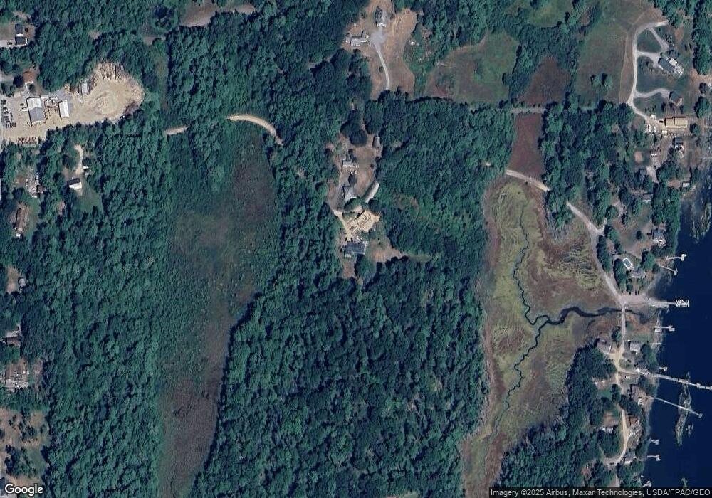
Map
Nearby Homes
- 93 Abbot Cove Rd
- 37 & 38 S Dyers Cove Rd
- 242 Long Reach Ln
- 136 Bethel Point Rd
- 11 Orion Point Way
- 29 & 30 Nob Hill Ave
- 646 Gurnet Rd
- 943 Cundys Harbor Rd
- 51 & 53 Rock Haven Dr
- 10 Birch Point Rd
- 46 Dam Cove Rd
- 270 Harpswell Neck Rd
- 25 Echo Ln
- 88 Campbell Pond Rd
- lot C Long Point Rd
- 260 Coombs Rd
- 205 W Cundys Point
- 140 Clifford Rd
- 550 Main Rd
- 15 Church Ln