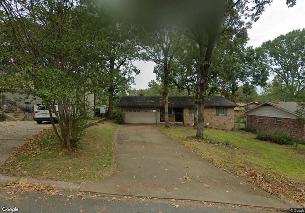
62 Warwick Rd Little Rock, AR 72205
West Markham NeighborhoodEstimated Value: $212,000 - $242,000
Studio
2
Baths
1,773
Sq Ft
$126/Sq Ft
Est. Value
About This Home
This home is located at 62 Warwick Rd, Little Rock, AR 72205 and is currently estimated at $222,914, approximately $125 per square foot. 62 Warwick Rd is a home located in Pulaski County with nearby schools including McDermott Elementary School, J.A. Fair K8 Preparatory School, and Central High School.
Ownership History
Date
Name
Owned For
Owner Type
Purchase Details
Closed on
Aug 4, 2017
Sold by
Reed Wilma H and Reed Joseph R
Bought by
Gilliam Aaron
Current Estimated Value
Home Financials for this Owner
Home Financials are based on the most recent Mortgage that was taken out on this home.
Original Mortgage
$122,400
Outstanding Balance
$101,666
Interest Rate
3.88%
Mortgage Type
New Conventional
Estimated Equity
$121,248
Create a Home Valuation Report for This Property
The Home Valuation Report is an in-depth analysis detailing your home's value as well as a comparison with similar homes in the area
Home Values in the Area
Average Home Value in this Area
Purchase History
| Date | Buyer | Sale Price | Title Company |
|---|---|---|---|
| Gilliam Aaron | $153,000 | Pulaski County Title |
Source: Public Records
Mortgage History
| Date | Status | Borrower | Loan Amount |
|---|---|---|---|
| Open | Gilliam Aaron | $122,400 |
Source: Public Records
Tax History
| Year | Tax Paid | Tax Assessment Tax Assessment Total Assessment is a certain percentage of the fair market value that is determined by local assessors to be the total taxable value of land and additions on the property. | Land | Improvement |
|---|---|---|---|---|
| 2025 | $2,618 | $37,397 | $6,800 | $30,597 |
| 2024 | $2,618 | $37,397 | $6,800 | $30,597 |
| 2023 | $2,618 | $37,397 | $6,800 | $30,597 |
| 2022 | $2,604 | $37,397 | $6,800 | $30,597 |
| 2021 | $2,384 | $33,820 | $4,400 | $29,420 |
| 2020 | $2,367 | $33,820 | $4,400 | $29,420 |
| 2019 | $2,367 | $33,820 | $4,400 | $29,420 |
| 2018 | $2,367 | $33,820 | $4,400 | $29,420 |
| 2017 | $942 | $33,820 | $4,400 | $29,420 |
| 2016 | $942 | $33,890 | $4,500 | $29,390 |
| 2015 | $1,294 | $18,459 | $4,500 | $13,959 |
| 2014 | $1,294 | $18,459 | $4,500 | $13,959 |
Source: Public Records
Map
Nearby Homes
- 26 Warwick Rd
- 9904 Snider Ct
- 9716 Overby Ct
- 9720 Treasure Hill Rd
- 3 Pyeatt Cir
- 9717 Treasure Hill Rd
- 9815 Brooks Ln
- 37 Coachlight Dr
- 35 Bradford Dr
- 10209 Ronald Dr
- 10219 Ronald Dr
- 201 Natural Resources Dr
- 31 Walnut Valley Dr
- 1801 Old Forge Dr
- 73 Reservoir Heights Dr
- 9704 Catskill Rd
- 1706 Sanford Dr
- Lot 10 Ellia's Cove
- 7 Oak Glen Ln
- 1912 Clapboard Hill Rd
Your Personal Tour Guide
Ask me questions while you tour the home.