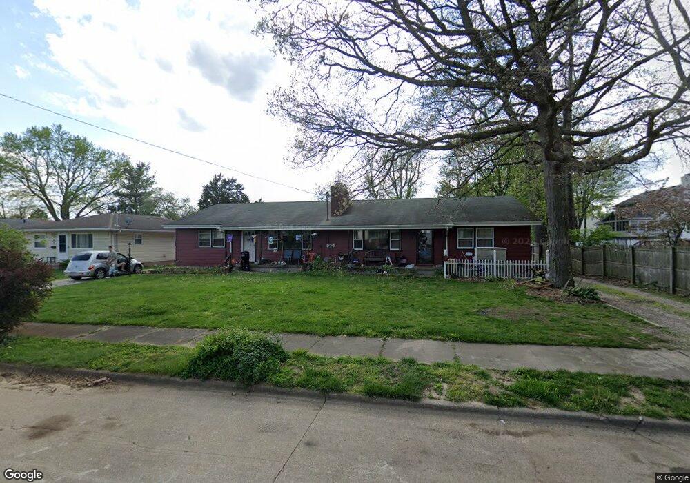
620 Bridge Rd Unit 624 Akron, OH 44312
Ellet NeighborhoodEstimated Value: $188,000 - $288,000
4
Beds
4
Baths
2,592
Sq Ft
$93/Sq Ft
Est. Value
About This Home
This home is located at 620 Bridge Rd Unit 624, Akron, OH 44312 and is currently estimated at $241,344, approximately $93 per square foot. 620 Bridge Rd Unit 624 is a home located in Summit County with nearby schools including Ellet High School, Summit Academy Akron Elementary School, and Hatton Community Learning Center.
Ownership History
Date
Name
Owned For
Owner Type
Purchase Details
Closed on
May 1, 2017
Sold by
Powers Helen M and Ganzer Christina P
Bought by
Mcmichael Sheri
Current Estimated Value
Home Financials for this Owner
Home Financials are based on the most recent Mortgage that was taken out on this home.
Original Mortgage
$133,536
Outstanding Balance
$111,655
Interest Rate
4.3%
Mortgage Type
FHA
Estimated Equity
$129,689
Purchase Details
Closed on
Oct 31, 2016
Sold by
Powers Helen M and Powers Gregory
Bought by
Powers Helen M
Create a Home Valuation Report for This Property
The Home Valuation Report is an in-depth analysis detailing your home's value as well as a comparison with similar homes in the area
Home Values in the Area
Average Home Value in this Area
Purchase History
| Date | Buyer | Sale Price | Title Company |
|---|---|---|---|
| Mcmichael Sheri | $136,000 | None Available | |
| Powers Helen M | -- | None Available |
Source: Public Records
Mortgage History
| Date | Status | Borrower | Loan Amount |
|---|---|---|---|
| Open | Mcmichael Sheri | $133,536 |
Source: Public Records
Tax History Compared to Growth
Tax History
| Year | Tax Paid | Tax Assessment Tax Assessment Total Assessment is a certain percentage of the fair market value that is determined by local assessors to be the total taxable value of land and additions on the property. | Land | Improvement |
|---|---|---|---|---|
| 2025 | $3,958 | $74,781 | $9,737 | $65,044 |
| 2024 | $3,958 | $74,781 | $9,737 | $65,044 |
| 2023 | $3,958 | $74,781 | $9,737 | $65,044 |
| 2022 | $3,599 | $53,327 | $6,857 | $46,470 |
| 2021 | $3,603 | $53,327 | $6,857 | $46,470 |
| 2020 | $3,548 | $53,330 | $6,860 | $46,470 |
| 2019 | $4,188 | $57,410 | $6,860 | $50,550 |
| 2018 | $4,132 | $57,410 | $6,860 | $50,550 |
| 2017 | $3,580 | $57,410 | $6,860 | $50,550 |
| 2016 | $3,582 | $57,410 | $6,860 | $50,550 |
| 2015 | $3,580 | $57,410 | $6,860 | $50,550 |
| 2014 | $3,551 | $57,410 | $6,860 | $50,550 |
| 2013 | $3,298 | $54,840 | $6,860 | $47,980 |
Source: Public Records
Map
Nearby Homes
- 2127 Quayle Dr
- 586 Ingalls Rd
- 2155 Abbey Rd
- 640 Plainfield Rd
- 2146 Daniels Ave
- 452 Herbert Rd
- 2465 Ogden Ave
- 2239 Springfield Center Rd
- 805 Utica Ave
- 880 Utica Ave
- 604 Gibbs Rd Unit 606
- 198 Hilbish Ave
- 274 Fulmer Ave
- 2305 E Waterloo Rd
- 2077 Coleman Ave
- 2331 E Market St Unit 608A
- 2331 E Market St Unit 204A
- 2331 E Market St Unit 215D
- 2331 E Market St Unit 206A
- 159 Dellenberger Ave
- 620 Bridge Rd
- 624 Bridge Rd
- 630 Bridge Rd
- 2184 Eastgate Commons Dr
- 2178 Eastgate Commons Dr
- 603 Woodstock Rd
- 634 Bridge Rd
- 607 Woodstock Rd
- 2196 Eastgate Commons Dr
- 2170 Eastgate Commons Dr
- 611 Woodstock Rd
- 619 Bridge Rd
- 638 Bridge Rd
- 623 Bridge Rd
- 615 Woodstock Rd
- 629 Bridge Rd
- 633 Bridge Rd
- 2162 Eastgate Commons Dr
- 621 Woodstock Rd
- 2200 Eastgate Commons Dr