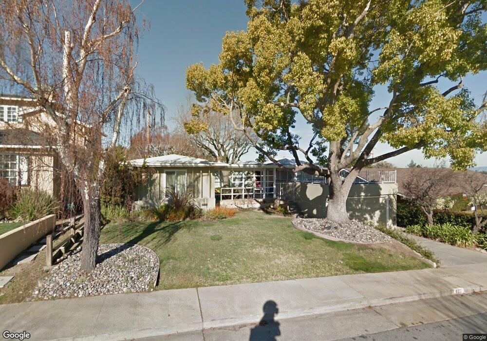
620 Macarthur Ave San Mateo, CA 94402
Beresford Park NeighborhoodEstimated Value: $2,548,000 - $3,023,000
3
Beds
2
Baths
1,650
Sq Ft
$1,713/Sq Ft
Est. Value
About This Home
This home is located at 620 Macarthur Ave, San Mateo, CA 94402 and is currently estimated at $2,826,654, approximately $1,713 per square foot. 620 Macarthur Ave is a home located in San Mateo County with nearby schools including Baywood Elementary School, Borel Middle School, and Aragon High School.
Ownership History
Date
Name
Owned For
Owner Type
Purchase Details
Closed on
Feb 24, 2023
Sold by
Wong Eric M and Wong Marcellyn M
Bought by
Eric And Marcellyn Wong Family Trust
Current Estimated Value
Purchase Details
Closed on
Oct 11, 2010
Sold by
Borel Private Bank & Trust Company
Bought by
Wong Eric M and Wong Marcellyn M
Home Financials for this Owner
Home Financials are based on the most recent Mortgage that was taken out on this home.
Original Mortgage
$720,000
Interest Rate
4.26%
Mortgage Type
New Conventional
Purchase Details
Closed on
Mar 29, 1988
Sold by
Raffo Albert and Raffo Sheila M
Bought by
Raffo Albert and Raffo Sheila M
Create a Home Valuation Report for This Property
The Home Valuation Report is an in-depth analysis detailing your home's value as well as a comparison with similar homes in the area
Home Values in the Area
Average Home Value in this Area
Purchase History
| Date | Buyer | Sale Price | Title Company |
|---|---|---|---|
| Eric And Marcellyn Wong Family Trust | -- | None Listed On Document | |
| Wong Eric M | $900,000 | North American Title Co Inc | |
| Raffo Albert | -- | -- |
Source: Public Records
Mortgage History
| Date | Status | Borrower | Loan Amount |
|---|---|---|---|
| Previous Owner | Wong Eric M | $720,000 |
Source: Public Records
Tax History Compared to Growth
Tax History
| Year | Tax Paid | Tax Assessment Tax Assessment Total Assessment is a certain percentage of the fair market value that is determined by local assessors to be the total taxable value of land and additions on the property. | Land | Improvement |
|---|---|---|---|---|
| 2025 | $17,170 | $1,390,757 | $576,524 | $814,233 |
| 2023 | $17,170 | $1,336,756 | $554,138 | $782,618 |
| 2022 | $16,523 | $1,310,546 | $543,273 | $767,273 |
| 2021 | $13,370 | $1,065,242 | $532,621 | $532,621 |
| 2020 | $13,311 | $1,054,320 | $527,160 | $527,160 |
| 2019 | $12,863 | $1,033,648 | $516,824 | $516,824 |
| 2018 | $12,225 | $1,013,382 | $506,691 | $506,691 |
| 2017 | $11,683 | $993,512 | $496,756 | $496,756 |
| 2016 | $11,519 | $974,032 | $487,016 | $487,016 |
| 2015 | $11,890 | $959,402 | $479,701 | $479,701 |
| 2014 | $11,568 | $940,610 | $470,305 | $470,305 |
Source: Public Records
Map
Nearby Homes
- 674 Barneson Ave
- 441 Hobart Ave
- 331 Sonora Dr
- 1919 Alameda de Las Pulgas Unit 126
- 1919 Alameda de Las Pulgas Unit 80
- 1919 Alameda de Las Pulgas Unit 38
- 1919 Alameda de Las Pulgas Unit 26
- 525 Colgate Way
- 2001 Alameda de Las Pulgas Unit 174
- 2001 La Salle Dr
- 897 Parrott Dr
- 33 Seville Way
- 866 Parrott Dr
- 2224 Ensenada Way
- 18 Wildwood Dr
- 6 Avila Rd
- 15 Poppy Ct
- 353 Franklin St
- 445 23rd Ave
- 30 16th Ave
- 616 Macarthur Ave
- 628 Macarthur Ave
- 621 Hobart Ave
- 625 Hobart Ave
- 617 Hobart Ave
- 612 Macarthur Ave
- 1303 Woodland Dr
- 1211 Woodland Dr
- 619 Macarthur Ave
- 615 Hobart Ave
- 629 Hobart Ave
- 613 Macarthur Ave
- 608 Macarthur Ave
- 1302 Woodland Dr
- 1309 Woodland Dr
- 1314 Woodland Dr
- 633 Hobart Ave
- 609 Macarthur Ave
- 1216 Woodland Dr
- 624 Hobart Ave