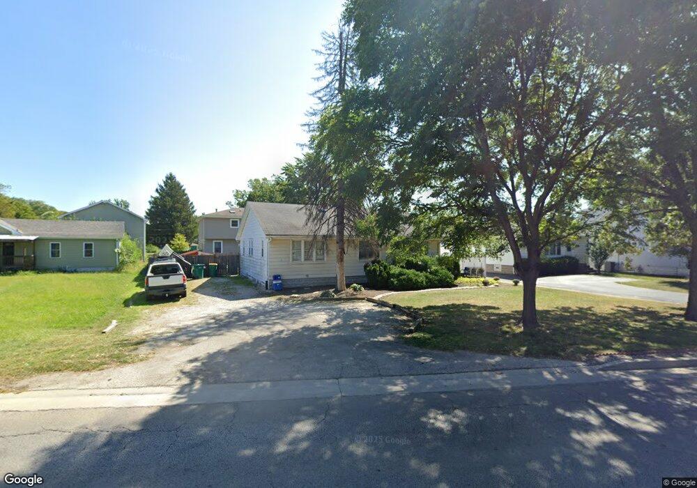
620 N State St Lockport, IL 60441
Estimated Value: $253,000 - $285,000
--
Bed
--
Bath
--
Sq Ft
7,841
Sq Ft Lot
About This Home
This home is located at 620 N State St, Lockport, IL 60441 and is currently estimated at $269,000. 620 N State St is a home located in Will County with nearby schools including Ludwig Elementary School, Walsh Elementary School, and Reed Elementary School.
Ownership History
Date
Name
Owned For
Owner Type
Purchase Details
Closed on
Dec 11, 2019
Sold by
Brannigan Joseph and Brannigan Ann
Bought by
Brannigan Management Services Llc
Current Estimated Value
Purchase Details
Closed on
Jul 28, 2006
Sold by
Palos Bank & Trust Co
Bought by
Brannigan Joseph and Brannigan Ann
Home Financials for this Owner
Home Financials are based on the most recent Mortgage that was taken out on this home.
Original Mortgage
$127,500
Interest Rate
8.85%
Mortgage Type
Purchase Money Mortgage
Purchase Details
Closed on
May 16, 2005
Sold by
House Debra M and Schroll Denise M
Bought by
Palos Bank & Trust Co and Trust #1-6481
Home Financials for this Owner
Home Financials are based on the most recent Mortgage that was taken out on this home.
Original Mortgage
$315,000
Interest Rate
6%
Mortgage Type
Purchase Money Mortgage
Create a Home Valuation Report for This Property
The Home Valuation Report is an in-depth analysis detailing your home's value as well as a comparison with similar homes in the area
Home Values in the Area
Average Home Value in this Area
Purchase History
| Date | Buyer | Sale Price | Title Company |
|---|---|---|---|
| Brannigan Management Services Llc | -- | Antic | |
| Brannigan Joseph | $150,000 | Burnet Title | |
| Palos Bank & Trust Co | -- | -- |
Source: Public Records
Mortgage History
| Date | Status | Borrower | Loan Amount |
|---|---|---|---|
| Previous Owner | Brannigan Joseph | $127,500 | |
| Previous Owner | Palos Bank & Trust Co | $315,000 |
Source: Public Records
Tax History Compared to Growth
Tax History
| Year | Tax Paid | Tax Assessment Tax Assessment Total Assessment is a certain percentage of the fair market value that is determined by local assessors to be the total taxable value of land and additions on the property. | Land | Improvement |
|---|---|---|---|---|
| 2024 | $3,934 | $47,361 | $18,709 | $28,652 |
| 2023 | $3,934 | $42,518 | $16,796 | $25,722 |
| 2022 | $3,189 | $36,285 | $14,334 | $21,951 |
| 2021 | $3,014 | $34,100 | $13,471 | $20,629 |
| 2020 | $2,940 | $32,979 | $13,028 | $19,951 |
| 2019 | $2,784 | $31,260 | $12,349 | $18,911 |
| 2018 | $2,737 | $30,050 | $11,871 | $18,179 |
| 2017 | $2,623 | $28,367 | $11,206 | $17,161 |
| 2016 | $2,365 | $25,177 | $9,946 | $15,231 |
| 2015 | $2,025 | $22,599 | $8,927 | $13,672 |
| 2014 | $2,025 | $20,733 | $8,190 | $12,543 |
| 2013 | $2,025 | $20,733 | $8,190 | $12,543 |
Source: Public Records
Map
Nearby Homes
- 247 E North St
- 101 Market St
- 119 Franklin St
- 609 Oak St
- 118 N State St
- 805 Maryknoll Dr
- 120 N State St
- 134 S Jefferson St
- 812 Northern Dr
- 219 S Washington St
- 1009 Mccameron Ave Unit 1
- 327 S State St
- 1102 E Treeline Dr
- 540 E 4th St
- 507 S Hamilton St
- Lot 24 W Windemere Cir
- Lot 13 W Windemere Cir
- 1600 Fairmount
- 17529 W Windemere Cir
- 17439 W Windemere Cir